ISLANDS OF GROUP IV.
Reading edition
The island of Ellesmere is only second in size to Baffin island, and is remarkable for its north end extending to beyond the eighty-third parallel of N. latitude, or to within 500 miles of the North Pole. Its length from north to south covers nearly seven degrees of latitude, or approximately 500 miles; its greatest breadth across the northern part exceeds 200 miles. Being deeply indented by large bays both on its east and west sides, its outline is quite irregular. Smith sound, and its northern extensions Kennedy and Robeson channels, separate the eastern shores of Ellesmere from the northern part of Greenland.
The general elevation of the island is high, and probably exceeds 2,500 feet. In the northern part the United States mountains are upwards of 4,000 feet high, while isolated peaks of this range reach a height of almost 5,000 feet. It is remarkable that this high northern land is not covered with a continuous ice-cap, but this is probably due to the small precipitation of moisture derived from the ice-covered northern seas. The first large ice-cap is situated in the interior, to the south of 81° N. latitude, and extends southward to 79° N. latitude, where an area of lower lands occurs near the junction of the Palæozoic rocks of the north and the Archæan of the southeast. The southeastern quarter of the island occupied by crystalline rocks has a general elevation of 3,000 feet or over, and is covered by a great ice-cap, with numerous glaciers discharging from it into the eastern bays. A great thickness of Palæozoic extending upwards from the Silurian to the Carboniferous occupies the southwest quarter of the island, where the rocks rise abruptly to a tableland with an elevation of nearly 3,000 feet. The cliffs of the southern coast are indented by many long narrow fiords. Along the western side of the island is a wide margin of softer Mesozoic rocks which form low plains extending from the seashore several miles inland to the base of the high cliffs of older rocks. These plains are covered with arctic vegetation. Musk-oxen, barren-ground caribou and arctic hares are found there in large numbers, along with geese and other aquatic birds.
North Devon island lies to the south of Ellesmere, being separated from it by Jones sound; Lancaster sound bounds it on the south. The island, in shape, somewhat resembles a swimming bird with the head to the northwest and the body east and west. The body is about 220 miles long and averages seventy-five miles across. Grinnell peninsula forms the head, the neck being very irregular, and nearly pierced through by several long bays; the length of head and neck is a hundred miles. The eastern third of the island is composed of crystalline rocks, and rises to an irregular ice-clad tableland some 3,000 feet in altitude. The rise to the interior is somewhat abrupt, and the landscape, seen from the sea, shows an interior ice-cap in the distance, with bare rocky hills rising irregularly above the slopes of the glaciers flowing down the valleys to the sea. The western part of the island is formed of limestone, and is a flat tableland cut by deep narrow fiords that extend inland many miles from the coast, and are continued beyond the salt water as the valleys of small rivers. The general elevation of the tableland in the eastern part is nearly 2,000 feet, but this decreases in the westward, so that on the west side the cliffs are below, and in the interior not much above, a thousand feet. The eastern part of this limestone plateau is covered, at least along the coast, by an ice-cap, and a few small glaciers discharge from it directly into the sea. The ice-cap retreats from the fore part of the plateau, and finally disappears before the western shores of the island is reached. There is lower land along the west side of the island, where there is a good growth of arctic plants on which large numbers of musk-oxen feed, together with some barren-ground caribou and arctic hares. The Eskimos from northern parts of Baffin island often cross Lancaster sound to hunt these animals on the western side of North Devon. Walrus and white bears are also plentiful amongst the ice of Wellington channel which separates North Devon from Cornwallis island on the west. Sverdrup found the remains of Eskimo encampments everywhere along the west side of Ellesmere, and speculated as to where the people who made them came from, and also how the Eskimos reached Greenland. The knowledge that the Baffin natives cross to North Devon, and that some of them have joined the arctic highlanders of Smith sound, disposes of these speculations. Their road is across Prince Regent inlet from Baffin to North Somerset, thence across Lancaster sound to the western part of North Devon. The west side of that island is followed north to the narrows of the western part of Jones sound, and a crossing then made to the western side of Ellesmere, where game is plentiful. This coast of plenty would be followed northward to Bay fiord, where the natural pass across Ellesmere would lead to the fiords of the east side of the island a short distance to the north of Cape Sabine, a place frequently visited by the north Greenland natives.
The Parry islands—Cornwallis, Bathurst, Melville, Eglinton and Prince Patrick—all lie immediately north of the western extension of Lancaster sound—known in parts as Barrow strait, Melville sound and McClure strait. These islands were first discovered by Parry in 1819, but it was the diligent search parties for Franklin that minutely investigated their shores, making them the best known of all the Arctic islands. With the exception of the southern part of Cornwallis, which is formed from Silurian limestone, these islands are composed of softer bedded rocks of the Devonian and Carboniferous. They possess the same physical characteristics, and a general description answers for all. The shore-lines are very broken, being deeply cut by long irregular shaped bays. The land rises in cliffs from 400 feet to 700 feet high, to a plateau broken by many cross ravines, which render travel in the interior difficult. The general level of the interior is under 1,000 feet, and only rarely does it rise above that altitude. In many places coal has been found outcropping in the face of the cliffs of all the islands west of Cornwallis. The practical impossibility of reaching these coal fields precludes them from being counted among the economic resources of Canada.
The Sverdrup islands include Axel Heiberg, Amund Ringes, Ellef Ringes, King Christian and North Cornwall. With the exception of the last named, these islands were discovered by the Norwegian expedition on the Fram in 1899-1902. They form a group lying to the west of Ellesmere and to the north of the Parry islands. The largest, Axel Heiberg, lies close to the west side of Ellesmere, and has the same physical characters as those of the western side of the great island; these are high lands in the interior, composed of bedded rocks, and eruptives with low, wide foreshore, where game is plentiful.
The other islands of the group, being formed of the softer rocks of the Mesozoic, are lower in general elevation, and are characterized by wide stretches of low land between the sea and the crumbling cliffs, which rise to the uneven interior plateau, that rarely exceeds 700 feet in elevation.
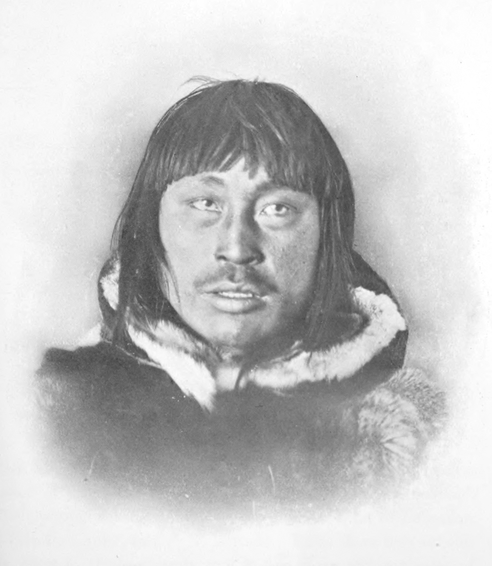
Kenipitu from Chesterfield Inlet.
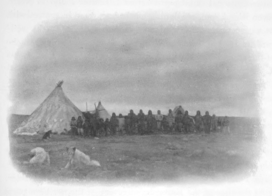
Lower Encampment, Chesterfield Inlet.