The North Rim of the Grand Canyon
Reading edition
The Grand Canyon is the supreme epic of erosion; there water has perpetuated its sublimest masterpiece in stone. “The Grand Canyon fills me with awe,” wrote Roosevelt. “It is beyond comparison—beyond description; absolutely unparalleled throughout the wide world.” “Wildness so Godful, cosmic, primeval, bestows a new sense of the earth’s beauty and size,” said John Muir. “By far the most sublime of all earthly spectacles,” is the opinion of world travelers who have studied its grandeur.
The Grand Canyon may be described as a vast and intricate range of sunken mountains cut through a hundred miles of high plateau, “a mountain chain reversed.” Usually it is pictured as a colossal chasm, 220 miles in length, a mile deep and some twelve miles wide; but it is more precisely a measureless labyrinth of canyons with an infinite array of magnificent architectural forms upthrust from their depths. Deep down in the uttermost gorge of granite, the Colorado, “the rushingest, roaringest” river in the land, grinds ceaselessly at the 31 rocks. Numberless rich and vivid tones of gray, green, blue, red and mauve tint its mighty walls and temples, and, independent of these, the sunlight pours daily into the chasm a shifting color parade of exquisite blues and purples, glowing reds and golds.
Of the Kaibab division of the Grand Canyon, Captain Dutton states: “It is the sublimest portion of the chasm, being nearly a thousand feet deeper than any other, far more diversified and complex and is adorned with a multitude of magnificent features, either wanting or much less strongly represented elsewhere.” According to the U. S. Geological Survey, the Kaibab division is from seven to fourteen miles wide and from 5,300 to 6,000 feet deep. The elevation of the North Rim is from 8,000 to 9,000 feet and it is eroded extensively into tremendous lateral gorges and amphitheatres. The North Rim has the incomparable Kaibab Forest, uncounted unexplored cliff dwellings, and a summer climate distinguished by unfailingly cool nights. Along its winding edge are a number of noted capes and headlands that reveal some of the grandest aspects of the Canyon.
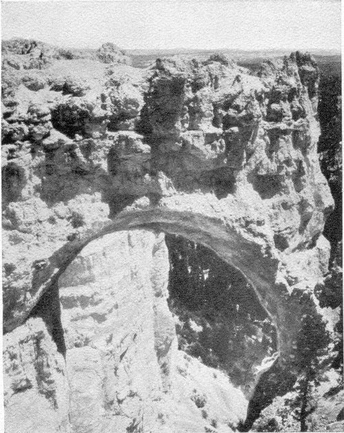
Natural Bridge, Bryce Canyon
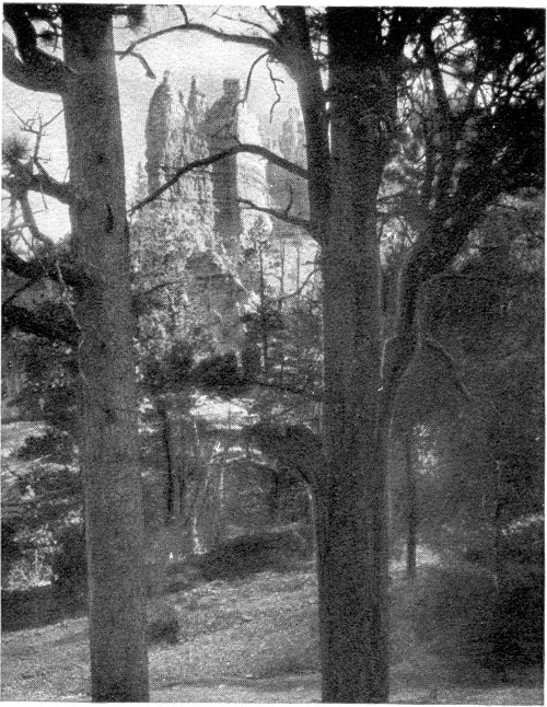
Bluebeard’s Castle, Bryce Canyon
Bright Angel Point stretches out between the Transept and Bright Angel Canyon; from its dizzy tip may be seen many of the finest temples: Deva, Brahma, Zoroaster, Wotan’s Throne, Manu, Buddha, Isis, Angels Gate and Cheops Pyramid. Near by is a picturesque spring with a perfectly preserved cliff dwelling adjacent. The Kaibab Trail descends from the Point to the Suspension Bridge across the Colorado River, where it joins the Bright Angel Trail to the South Rim.
Cape Royal, Cape Final and Point Imperial are on the huge Walhalla Plateau (locally called “Greenland”) southeast of Bright Angel Camp, and each reveals panoramas of greatest grandeur. Point Imperial, the highest place on the Rim, affords views of the Marble Canyon, Lee’s Ferry, Navajo Mountain and Houserock Valley. The wonderful views from Cape Royal extend west, south and east over the templed gorge. On the way to Cape Royal are Cliff Spring, many cliff dwelling ruins and Angels Window.
Point Sublime, west of Bright Angel Point, is another celebrated viewpoint, esteemed by Dutton to surpass all others. Thence may be seen the Hindu and Aztec amphitheatres, Powell Plateau, the Dragon, the Scorpion, and imperial Shiva, perhaps the most magnificent of all the Canyon’s glorious temples.
Every visitor to the North Rim of Grand Canyon should make the trip to Cape Royal and Point Sublime.
32
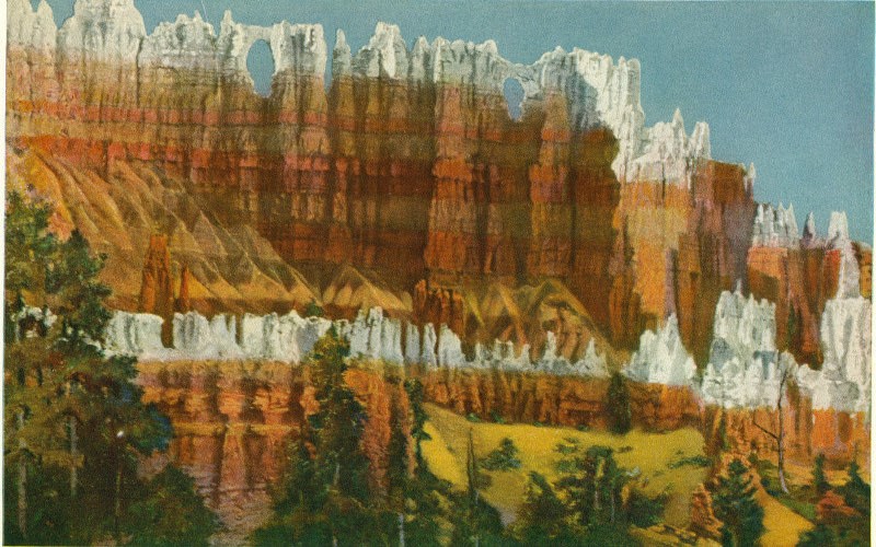
The Wall of Windows, Bryce Canyon
33
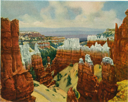
The Sculptor’s Studio, Bryce Canyon
From the North Rim of Grand Canyon to Bryce Canyon
The route between Fredonia and the North Rim has been described on the foregoing pages. North of Fredonia the way leads to Kanab, Utah, a thriving village at the foot of the Vermilion Cliffs and 120 miles from the nearest railroad. Thence it continues through the Vermilion Cliffs by way of picturesque Three Lakes Canyon, across dunes of pink sand, and down to the canyon of the Parunuweap, cut through the majestic White Cliffs. Splendid panoramas of the temples and towers of Zion are disclosed.
The highway follows Parunuweap River through Long Valley to its source, passing the Mormon villages, Mt. Carmel, Orderville and Glendale. The regions traversed are of unusual and unflagging scenic interest; many of the rugged and tortuous side canyons, which contain cliff dwellings, give glimpses of impressive formations.
The traveler ascends the Terraced Plateaus from the Shinarump and the Vermilion to the Pink Cliffs, vivid exposures of which, capped by lava, may be seen on distant eminences. Chamberlain’s Lake, north of Glendale, is a deep, cold tarn fed by a great spring. At Cedar Breaks Junction the road crosses from the Colorado drainage system into the Great Basin. The remainder of the route to Bryce Canyon has been described on page 22.