Front matter
Reading edition
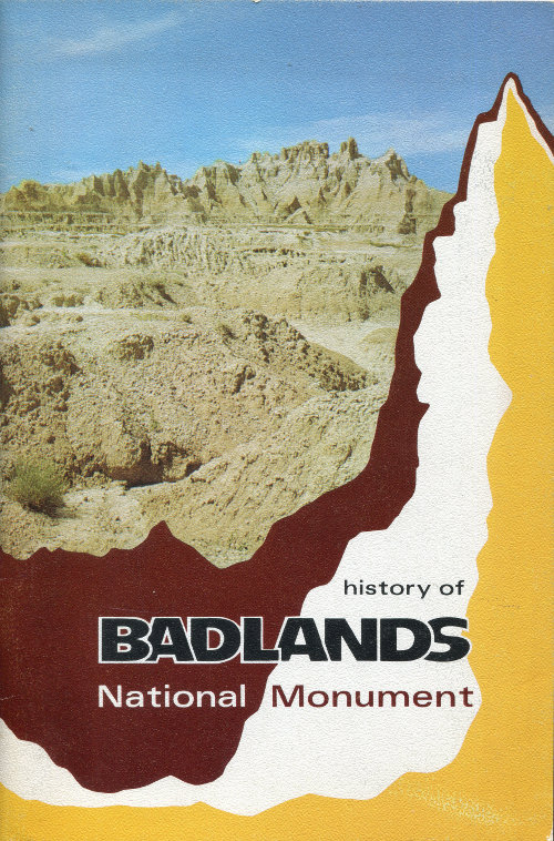
Cover Photo: THE CASTLE, five miles west of Cedar Pass and just west of Norbeck Pass, is a spectacular saw-tooth ridge which was named by early local ranchers. The spires rise more than 200 feet above the Fossil Exhibit Trail (see Figure 28) and approximately 450 feet above the lower grassland plains which are out of view on the left. The ridge is an eroded remnant of rock layers which formerly covered Badlands National Monument and surrounding areas.