Chapter V
Reading edition
EOCENE ROCKS
The Sokoto and Lokoja series: the nummulitic limestone of Sokoto; the upper ferruginous beds; the pisolitic clay of Giro; the white and pink clays of Kurukuru; the partial colouration of the lower sandstones and clays; the Lokoja sandstones and ironstones; the pisolitic ironstones of Mount Patti; outliers of the Lokoja series. The Duguri sandstones and grits: the clays of Pali, Kirifi and Deu; the Gombe sandstones; the ironstones of the Tagum hills; the grits and ironstones of Kerri Kerri; the age of the Duguri, Gombe and Kerri Kerri sandstones. The Upper Benue sandstones: their relation to the Cretaceous and crystalline rocks of Yola; age of the Upper Benue sandstones; outliers of Eocene sandstones in Muri province; Tertiary history of the Upper Benue valley. The Eocene rocks of the Upper Niger and the Kameruns. The stratigraphy of the Chad area.
The dawn of the Eocene was marked by regional upheaval, by the folding and fracturing of the Cretaceous rocks and by subsequent intense erosion, as the result of which the underlying crystalline floor was again laid bare over the greater part of the Protectorate. A period of depression, however, ensued, during which the sandstones, clays, limestones and ironstones of the middle Eocene were extensively and unconformably accumulated both upon the crystalline rocks and upon the worn and denuded edges of the Cretaceous. The existence of this hitherto unsuspected unconformity between the Eocene and the Cretaceous introduces a new element of complication into the history of the Sudan and the southern Sahara.[78] In the opinion of M. Chudeau[79] deposition was continuous at least from the lower Turonian to the close of the Eocene, while the early Eocene was marked by a widespread transgression of the waters over the Niger valley. The presence of the unconformity, however, makes it evident that the known distribution of the Cretaceous cannot in any way be taken to indicate the former limits of the Cretaceous sea.
The Eocene rocks within the Protectorate may be conveniently classified into three groups:
1. The Sokoto and Lokoja series.
2. The Duguri, Gombe and Kerri Kerri sandstones.
3. The Upper Benue sandstones.
1. The Sokoto and Lokoja series.
The occurrence of fossiliferous limestones of Eocene age at Kalfu, Tamaske, Garadimi and Toronkawa to the north of Sokoto has been known since 1903.[80] The limestones have been found, however, to extend much farther south and to be associated with sandstones, clays and ironstones which are continuous with those in the Niger valley from Ilo to Lokoja. One of the finest sections of the limestone series is found in the cliffs facing the river beyond Wurnu to the north-east of Sokoto where the following succession may be observed:
10 ft.— Dark red ferruginous grit on top.
10 „ Ferruginous oolite.
30 „ Soft, chalky, fossiliferous limestone with phosphatic nodules and rounded lumps of hard and somewhat phosphatised limestone.
10 „ Calcareous clay.
80 „ Blue shale, much obscured by landslips.
20 „ Compact yellow calcareous clay, with efflorescence of gypsum.
40 „ Red, yellow, green and black gypseous shales and clays.
50 „ Black carbonaceous shales with radiating crystals of gypsum alternating in thin bands with yellow ferruginous clays with knots of ironstone; efflorescences of alum and gypsum.
At Wurnu the same succession is represented by red sandstones above and white, yellow and blue clays and shales below, with fragments of limestone at the foot of the slope indicating a thin band of limestone intercalated probably near the summit of the shales. Around Sokoto there is much earthy ferruginous oolite on top passing downwards as a rule into well-bedded red sandstones. Below the Wurnu gate, however, there is an exposure of about thirty feet of blue and white calcareous shales and clays with thin bands of hard limestone 3–4 inches thick, numerous fossils and occasional fragments of gypsum. At Alkamu, near Sokoto, a chalky limestone with nodules and echinoids, associated with calcareous shales and overlaid by earthy oolite, encloses rounded lumps of harder nummulitic and crinoidal limestone which look as if they had been originally washed into place. This appears to be the first record of the occurrence of nummulitic limestone in West Africa. A similar hard nummulitic limestone is found as far south as the neighbourhood of Jega and more detailed investigation would probably reveal its presence in many localities between Sokoto and Jega. The limestones, however, nowhere form thick and massive beds, but appear to occur always in thin bands or as nodules in calcareous shales or clays. The occurrence of gypseous shales below the limestones at Wurnu and Sokoto indicates the earlier presence of arid conditions, but whether or not the various exposures of limestone occur on one and the same horizon has not been determined.
Neither limestones nor calcareous shales are known from the immediate neighbourhood of the Gulbin Kebbi below Sokoto.[81] There are, however, numerous indications in the cliffs which bound the valley of a lower lighter-coloured earthy series overlaid by a succession of gritty and ferruginous beds. At Tozo white clays and earthy sandstones with thin bands of limonite are covered by oolitic ironstone which is overlaid in turn by hard red sandstone and pebbly ferruginous grit between Tozo and Kantami. The escarpments of Gulma are composed of soft white earthy grit below, becoming redder and more sandy towards the top and capped by a layer of hard ferruginous sandstone. At Birnin Kebbi the lower massive white and yellow earthy sandstones become mottled red and pass into dark red ferruginous sandstones on top. At Giro the lowest rock exposed is a yellowish pebbly grit with intersecting silicified ribs which passes in places into a friable white pebbly marl. This is followed by a thick (100 ft.) bed of white clay, frequently stained red along the joints and irregular cracks, almost every specimen of which shows a pisolitic or concretionary structure. Traced southward this bed becomes much silicified in its upper part, with retention of the original structure, and all stages may be traced between the normal pisolitic clay and a pure silicified and somewhat opalescent pisolite. Northward and eastward red and yellow sandy beds and friable pebbly grits become intercalated in the clay, while fragments of a fine-grained and very ferruginous sandstone afford indications of the former presence of ferruginous beds on top. Fragments of a similar silicified clay are found as far south as Marake where the prevailing rock is a brick red earthy sandstone, in places spotted with felspathic knots. At Kurukuru, near Ilo on the Niger, soft white and pink clays are again prominently exposed under a cap of ferruginous oolite. A pisolitic clay very similar to that of Giro has been described by M. Hubert[82] from Gaya on the Niger.
The sedimentary rocks run out upon the crystallines as friable pebbly yellow sandstones at Shunga to the east of the Niger, as a hard yellow silicified sandstone at Bakinrua in Borgu to the west of the Niger, and farther south as ferruginous sandstones and conglomerates at Konkwesso and Kabe, and soft white earthy sandstones on the Niger to the west of Warra. On the plateaux throughout Sokoto province the prevailing rock belongs to the upper ferruginous series of hard red sandstones, grits and ironstones, the softer and lighter-coloured rocks below being exposed for the most part only in the cliffs which bound the river valleys. The occurrence of outliers of still higher beds upon the surface of the plateaux indicates that the actual summit of the series has probably nowhere been observed.
There can be little doubt that the partial colouration of the lower beds, and to some extent also the hardening of the upper sandstones, is due to some considerable extent to the percolation of iron-bearing solutions from above downwards. There is equally little doubt that the oolitic ironstones are of primary and not of secondary or metasomatic origin and that the deposition of the ferruginous material took place during the latest stage in the history of Eocene sedimentation. All gradations indeed can be traced between a pure oolitic ironstone and a ferruginous sandstone with scattered oolitic grains of limonite. M. Chudeau[83] insists that even where enclosed between thick beds of clay, the oolitic ironstones are in every case the product of the decalcification of limestone. He has himself, however, supplied a sufficient answer to his own argument in calling attention to the fact that the limestones where now exposed never show any trace of even a superficial alteration into ironstones and in admitting, as he does, the truth of M. Hubert’s[84] contention that the oolitic ironstones of the Niger valley are nowhere accompanied by or traceable into limestones of a similar character. The flints of Ansongo,[85] moreover, like the nodules of Sokoto, indicate nothing more than the local occurrence of limestone within the Eocene accumulations.
Plate XII
A Granite Mount near Bauchi.
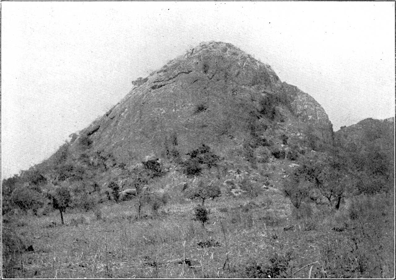
A Granite Mount near Bauchi.
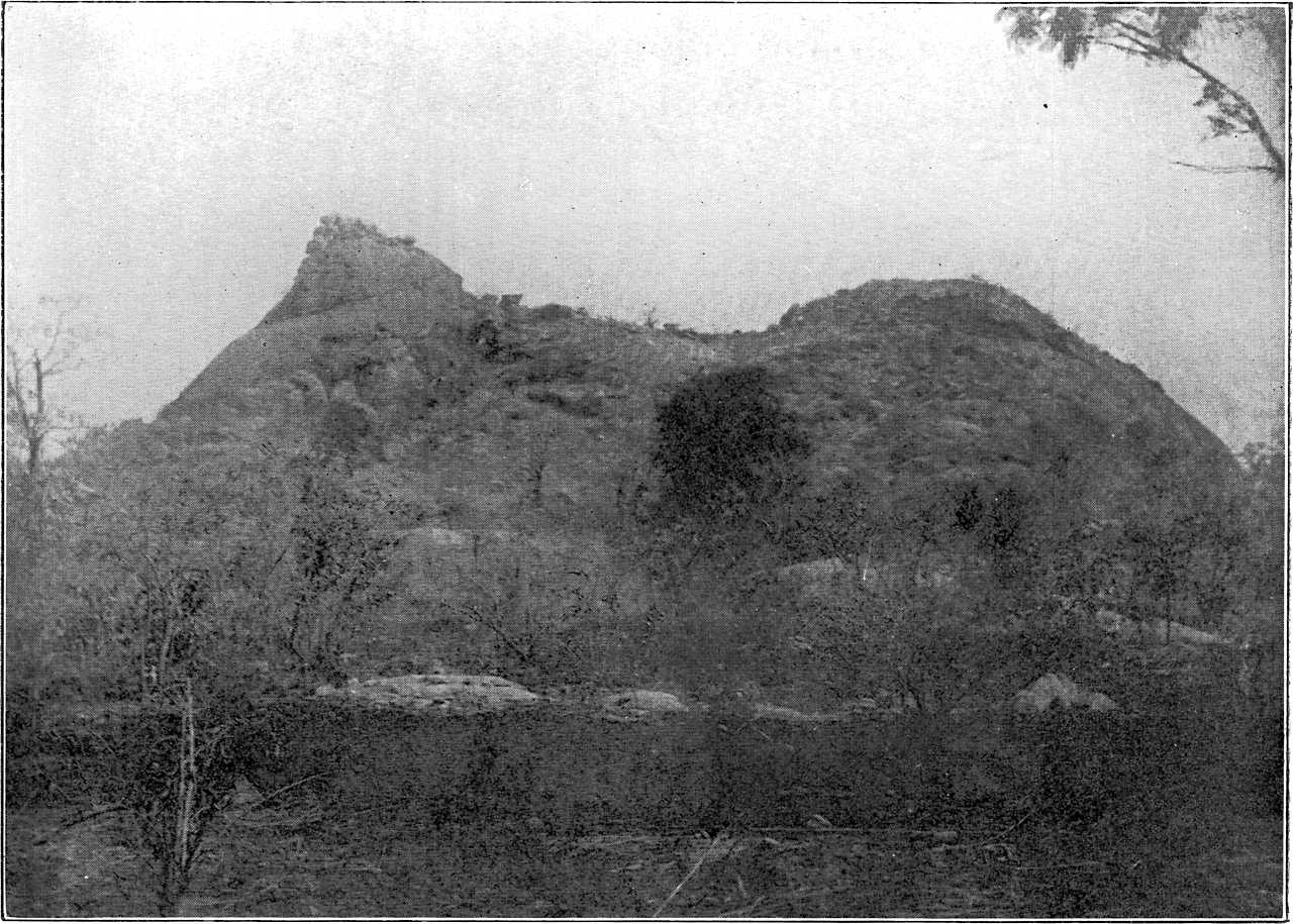
The sandstones of southern Kontagora and of the Niger valley below Jebba, which may be conveniently grouped as the “Lokoja series” from the locality of their greatest development, represent the southward continuation of the Sokoto sedimentary series and more particularly of the sandstones, grits, conglomerates and ironstones of the southern portion of the series, lying below the confluence of the Gulbin Kebbi and the Niger. The break in continuity at Warra is more apparent than real and is due merely to the fact that the Niger has entirely removed the sedimentary rocks from its channel and thus exposed the underlying crystallines. A well-marked difference in character may be traced between the Eocene rocks of Sokoto province and their southern representatives, a difference, however, which is entirely due to a dissimilarity in the earlier conditions of sedimentation. In the Sokoto series there is a well-marked succession of marine and deeper water accumulations by shallow water and lacustrine accumulations. Amongst the southern sandstones, however, there is no trace of a marine series, no trace of limestones or of carbonaceous or calcareous shales and even clays are conspicuous by the rarity of their occurrence. The series throughout, which attains at Lokoja a thickness of 1,000 feet, is a shallow water accumulation of sandstones, grits, conglomerates and ironstones, comparable to some extent with the upper shallow water portion alone of the Sokoto series. The resemblance indeed between the uppermost members of both series is heightened by the prevalence in both of oolitic and pisolitic ironstone, and it seems probable that, in spite of their earlier dissimilarity, the conditions towards the close of sedimentation in Eocene times were identical over the whole area from Sokoto to Lokoja. A further resemblance between the Lokoja series and the rocks of the lower valley of the Gulbin Kebbi is the frequent staining of the lower members of the series by descending ferruginous solutions. Wherever the lowest rocks of the Lokoja series are exposed they are almost invariably light-coloured sandstones and conglomerates. The colourisation begins along the joints and fissures and spreads inward as an irregular pink or reddish mottling. Traced upward the rocks gradually become uniformly coloured and the tints gradually deepen until the rocks assume the characteristic dull dark red or chocolate colour of the uppermost members of the series. The staining in places, owing probably to local differences in texture, has reached a greater depth than in others with the result that at certain points within the series the lower lighter-coloured rocks appear to attain a less development than in others. There is, however, to be observed in places towards the upper portion of the series an alternation of more and less ferruginous beds underneath the richly ferruginous cap of chocolate-coloured sandstones and ironstones, while here and there intercalations of ferruginous beds are to be found even within the lower lighter-coloured members of the series. In northern Borgu, moreover, it is common to find the basal conglomeratic beds richly ferruginous, a fact which is probably to be explained as due to the gradual extension of the marginal swamps during the advent of shallow water conditions.
The outliers of the Lokoja series which lie to the north and north-east of Kontagora belong to the uppermost portion of the series and consist for the most part of oolitic and pisolitic ironstones. Immediately south of Kontagora, soft white sandstones and earthy grits are exposed in the gorge of a stream at Kagara. Again at Sonko in a narrow canyon valley a fine-grained hard ferruginous sandstone is intercalated between beds of yellow gritty clay. Between Sonko and Jebba, there is a great development of ferruginous sandstones, ironstones and grits which extend also over a large portion of western Nupe. In western Kontagora, yellow grits and sandstones occur round Auna, while at Shaffini yellow and reddish pebbly sandstones form the base of the hills of ferruginous grit which rise above the plain. At Kumboji the rocks are red pebbly sandstones and ferruginous grits, while at Chika a lower bed of yellow sandstone is succeeded by red grit and ferruginous conglomerate.
On the Niger below Jebba, ferruginous sandstones and gritty ironstones are exposed at Rabba on the left bank, and red sandstones and pebbly grits at Shonga on the right. At Share white pebbly sandstones and conglomerates with thin bands of clay occur below the ferruginous grits which form the summit of the tabular hills. At Padda, to the east of Pategi, the basal beds are white conglomerates and sandstones, knotted with fragments of felspar and passing upward into the alternating series of white and reddish sandstones which rise into the pinnacle peaks of Egbom. On the banks of the Kaduna above Wuyo, white earthy sandstones are frequently exposed passing upward in the isolated hills through alternations of white and red sandstones into hard ferruginous grit and ironstone. Throughout southern and western Nupe, the rocks, where exposed, are invariably red sandstones or ferruginous grits. Between Kacha and Baro, however, the lower beds are white or mottled red and pass upward into a succession of red and white sandstones and grits. A similar alternation occurs in the base of the outlying Jakpara hills in northern Kabba which are capped by red ferruginous grit.
From Baro southward along the Niger and eastward into Nassarawa and Bassa, oolitic ironstones and earthy limonites associated with ferruginous sandstones and grits attain a greater development while the colouration of the lower beds is in general much more complete. At Baro a white or reddish sandy clay with pebbles of quartz and kaolinised felspar is exposed at the base of Mt. Gidda. This is followed by a thick mass of oolitic ironstone covering the greater part of the slope, in places much decayed and ribbed, banded and knotted with concretionary limonite. The upper portion of the hill is composed of red sandstone and ferruginous grit, the uppermost beds being well banded with coarser material, and enclosing pebbles of quartz and felspar. At Lokoja the lowest rock exposed at the base of Mt. Patti is a soft white felspathic sandstone with pebbles of quartz, kaolinised felspar and pegmatite which occasionally accumulate into conglomeratic bands. The greater part of the hill, however, is composed of white sandstones and grits indistinctly bedded and stained irregularly, and in places to a considerable depth, with iron ore. In the upper part of the hill the white sandstones give place to ferruginous sandstones with concretionary knots of earthy limonite and intercalated bands and irregular lenticular patches of oolitic ironstone. The uppermost 150 feet are made up of oolitic, pisolitic and earthy ironstones enclosing irregular masses of hard lustrous concretionary limonite, while the summit is capped by a pebbly ironstone composed of small rounded and elliptical pebbles of compact ironstone cemented by earthy limonite containing a few grains of quartz.[86]
The prolongation of the Lokoja series into Kabba, Nassarawa and Bassa is accompanied by much variation in the extent and thickness of the lower lighter-coloured rocks, and in the proportions of ferruginous sandstone and oolitic ironstone in the upper part of the series. There are also indications to the north and east of Lokoja of the ironstones occupying in places a much lower horizon than they do in Mt. Patti, as for example in Mt. Gidda where the ironstones are found only a little way above the river level and at Amara on the Benue where a ferruginous conglomerate very similar to that on the summit of Mt. Patti is exposed in the bank of the river. On the Benue, the Lokoja series runs out unconformably and presumably upon Cretaceous rocks in the Doma hills behind Udeni which present the usual succession of white sandstones below and red sandstones above. In Bassa the Lokoja series, although not actually traced, is believed to be continuous with the white and red sandstones and clays with plant remains exposed in the neighbourhood of Idah and Igore on the borders of Southern Nigeria. A small outlier of red and white sandstones and earthy limonite, near Ojerami and Akwi in southern Kabba, bears witness moreover to the former extent of the Lokoja series to the west of the Niger.
(2). The Duguri, Gombe, and Kerri Kerri sandstones.
The post-Cretaceous rocks of eastern Bauchi and Bornu, while more or less continuous from south to north, may be conveniently divided into three groups, the Duguri sandstones and grits, the Gombe grits and clays, and the Kerri Kerri grits and ironstones. The series throughout is a well-bedded succession of grits, sandstones, clays and ironstones, usually lighter-coloured below, and dark red and ferruginous above. Although everywhere unfossiliferous the series presents many analogies with the Eocene rocks of the Niger valley, and it is largely upon the strength of those analogies that these eastern rocks are assumed to be also of Eocene age. Their stratification throughout is practically horizontal, though in a few localities a gentle dip may be observed. Their junction with the underlying Cretaceous is believed to be unconformable, but the actual contact has nowhere been observed. Their total thickness, from the level of the Gongola at Nafada to the summit of the Kerri Kerri plateau, is about 1,000 ft., and there is no reason to believe that they elsewhere exceed this figure to any great extent.
In Duguri, the basal beds are not exposed, but in the cliffs behind Tongolan there is an excellent section of 400 feet of white and purple grits capped by hard red ferruginous sandstone, and banked against the crystalline rocks to the west. Between Tongolan and Yuli there is an alternation of white and red sandstones with occasional beds of gritty clay, while at Samia a series of white sandstones and clays overlaid by red sandstones and grits is exposed in the cliffs which bound the valley of the Yuli river. The boundary between the Cretaceous and Eocene is very approximate, and has been drawn provisionally a little east of Samia, where the horizontal sandstones appear to give place to sandstones possessing a distinct inclination to the west and probably belonging to the inclined Cretaceous series. Southward, the white grits of Duguri appear to be largely replaced by red ferruginous sandstones, which are well exposed around Tukkur to the east of Kantana. On the plateau at Kantana, a thin series of red sandstones with bands and streaks of flaggy limonite, underlaid by white sandstones, pebbly grits, and conglomerates, rests directly upon the crystalline rocks, while the presence of outliers of hard red sandstone on the summits of the hills around Kanna affords some indication of the originally greater westward extension of the series. The correlation of the various rocks in Duguri and the Kanna district is rendered difficult both by the rapid lateral variation in character of individual beds and by the occurrence of much faulting along the eastern margin of the plateau. The distinction of a lower and lighter-coloured series from an upper ferruginous series is less marked in Duguri than elsewhere, the lower series being apparently in great part an irregular succession of white and red sandstones and grits.
Over the central plains of eastern Bauchi the prevailing rock is a soft reddish grit in places quite pebbly, in others passing into white and purple sandstones. Exposures are found mostly in the deep and narrow channels which the streams have cut below the surface of the plain. At Pali bands of white gritty clay in every respect similar to the clays of Kurukuru on the Niger (p. 168) are intercalated amongst the sandstones, some of them containing knots and lenticular patches of purer kaolin. At Panguru rounded masses of earthy and oolitic ironstone are found in the surface alluvium, but it is doubtful whether they are concretions in situ or rolled fragments of an earlier deposit. A thin series of soft white and red sandstones and earthy limonites capped by hard red grit and possessing a dip of 10° S. and belonging probably to the upper part of the series is exposed immediately south of Putu. At Kirifi and Deu on the Gongola, thick beds of white clay similar to the clays of Pali are exposed below harder beds of red sandstone and red ferruginous grit. Similarly at Keffin Serakin Yaki, to the west of the Gongola, banks of white clay occur as large lenticular patches in reddish grit. Between Deu and Gombe white sandstones and clays are frequently exposed in the lower part of the cliffs which bound the river valley, the upper part being invariably red sandstone or hard ferruginous grit. At Gombe a characteristic section is exposed in the hill behind the Residency. A coarse white clay with gritty and sandy bands in its upper part and somewhat stained with iron forms the lower slopes of the hill, while on top are dark red sandstones and pebbly grits passing in places into flaggy or oolitic ironstones. The Gombe grits and clays are continuous within the bend of the Gongola with the grits and ironstones of the escarpments behind Tilde and Dukul which bound the narrow plain of the Gongola in the extreme east of Bauchi province. These eastern escarpments, however, are much higher than the escarpments of the west and the upper ferruginous series attains in them a much greater development. At Dukul the thinly bedded soft white sandstones which outcrop at the base of the escarpment are covered by a thick series of hard red grits with bands of flaggy limonite. Around Tilde and Ribadu the ferruginous grits alone are exposed, but at Birri to the north the lower series is again exposed as thinly bedded white sandstones under the usual ferruginous cap. To the east of the Gongola, the Gombe series is continued in the low hills of ferruginous grit, conglomerate, and ironstone around Ligdar and Buni, and farther east in the sandstones and ironstones of the broken hills which stretch from Ndufa to Lua in southern Bornu. Around Ndufa yellow and brick-red sandstones are exposed below with ferruginous grits above, containing in places scattered knots of hæmatite and streaks of lustrous pisolite. At Lua the Tagum hills are entirely composed of ferruginous grit enclosing in the upper layers large knots, lenticles, and irregular masses of hard pisolitic limonite similar in every respect to the lustrous pisolite of Mt. Patti at Lokoja. Immediately south of Koje the lower rocks run out upon the crystallines in alternating bands of yellow sandstone, coarse grit, and fine white clay somewhat stained with iron ore.
In the Kerri Kerri country in western Bornu to the north of the Gongola, the post-Cretaceous rocks are magnificently exposed in the southern escarpments of the Kerri Kerri plateau. The stepped cliffs of Kadi consist of two thick and imperfectly stratified beds of soft white earthy grit, passing in places into a coarser pebbly grit and separated by a thin bed of red ferruginous sandstone with streaks of limonite which forms the floor of the step. The summit of the upper bed is reddened and capped by a thin layer of concretionary ironstone. The detached tabular hills which fringe the plateau are either of the same height as the plateau or cut down to the level of the intercalated bed of hard red sandstone (Plate XIV, Fig. 1). In many cases the detached hills are stepped like the escarpment of the plateau, and at times the upper grits are represented merely by a conical peak set upon a platform floored by the ferruginous band which separates the upper and lower grits. Farther east the prominent tabular hill behind Fika has a very similar structure. The base is formed of white and brick-red grits upon which is set a thick bed of white earthy grit vertically jointed and bounded by precipitous cliffs. A narrow ledge of hard red sandstone separates this lower grit from an upper bed of similar character somewhat stained with iron, whose gentler slopes are covered with broken fragments of the red ferruginous grit which caps the summit. Beyond Fika the Potiskum road leads as far as Boza through the trench-like intersecting valleys so characteristic of the margin of the plateau with the rocks well exposed in the vertical cliffs on either side (Plate XIV, Fig. 2). Almost invariably soft reddish grits are found below and white earthy grits with bands and streaks of white and pink clay above, the whole being capped at Boza by a series of coarse red ferruginous grits. The stratification which is indistinct in the lower part becomes more marked towards the summit of the series and affords indications in places of a very gentle inclination towards the north. The upper ferruginous grits frequently rise into low hills and mounds on the surface of the plateau between Farsawa and Potiskum and near Gojin they contain abundant pisolitic knots of limonite, whose presence renders the grits very similar in appearance to those of the Tagum hills in southern Bornu.
To the west, the Kerri Kerri grits run out upon the crystalline rocks in the neighbourhood of Hardawa, as hard white conglomerates and grits, while to the north and east they are gradually lost under the recent accumulations of blown sand and earthy drift. Between Potiskum and Gujba, the surface rocks belong mostly to the upper ferruginous series, the lower red and white grits being exposed only in the base of the ironstone hills of Durua. The ironstones are very variable in character and include richly ferruginous grits with streaks of limonite, gritty pisolitic ironstones, pure lustrous pisolitic ores and flaggy and earthy limonites, the latter containing in places much decayed and unrecognisable plant remains. East of Abakri outcrops become rare and the last trace of the Kerri Kerri rocks is found at Girboa in some scanty exposures and broken fragments of ferruginous grit. In central Bornu the only known occurrence of rock of any kind is the outcrop of sandstone recorded by Barth in the banks of the Maidugari river.[87]
It should be remembered that the assumption of an Eocene age for the Duguri, Gombe, and Kerri Kerri grits, clays, and ironstones rests entirely upon analogy. They exhibit frequent resemblances to the Eocene rocks of the Niger valley and more particularly to the Lokoja series and to the southern portion of the Sokoto series. They are throughout shallow water accumulations, for the most part distinctly bedded, still practically horizontal and presenting, like the rocks of the Niger valley, a succession of a lower lighter-coloured series by an upper and more richly ferruginous series. The lithological resemblances are also particularly striking. The earthy grits of Kerri Kerri can be exactly paralleled at many points in the Niger valley and in the valley of the Gulbin Kebbi, although in Kerri Kerri they attain a much more extensive development. The clays of Pali, Kirifi and Deu are similar in every respect to the clays of Kurukuru on the Niger, while the peculiar pisolitic ironstones and lustrous limonites of Kerri Kerri and the Tagum hills are exactly similar to those of Mt. Patti at Lokoja.
The assumption of an unconformable contact of the Duguri, Gombe, and Kerri Kerri rocks with the underlying Cretaceous rests upon the practically constant horizontality of the former and the practically constant folding and faulting of the latter. Certain broad resemblances, however, can be detected between the uppermost and least inclined Cretaceous rocks of Ture and Waja and the sedimentary series of Duguri, Gombe, and Kerri Kerri. Like the latter the rocks of Waja are of shallow water origin and show a gradual transition from lighter-coloured sandstones below to hard red ferruginous sandstones and ironstones above. They are, however, as a rule more distinctly bedded and inclined and much harder and more compact than the Gombe and Kerri Kerri series, while in lithological character they differ in the absence of intercalated clays in the lower part and in the absence in the upper part of the oolitic and pisolitic ironstones so characteristic of the ferruginous series in the Kerri Kerri and the Tagum Hills.
There is little doubt that in structural and lithological characters the rocks of Duguri, Gombe, and Kerri Kerri present a greater resemblance to the Eocene rocks of the Niger than to the Cretaceous rocks of Waja. The unfortunate absence of palæontological evidence and of any decisive contacts with known Cretaceous rocks is however to be greatly regretted. On the whole it seems improbable that rocks so distinctly inclined and so evidently undulating as the Cretaceous of the Gongola valley should give place so rapidly in the west and north to such an extensive series of horizontal sandstones and ironstones as is to be found in eastern Bauchi and Bornu. The entire absence from the latter moreover of the pipes and necks of basalt, so abundant in the Cretaceous of the Gongola valley, is subsidiary evidence in favour of a difference of age. It would seem indeed that, as in the case of the Lokoja sandstones and the Cretaceous rocks of the Benue, all the facts are much more readily explicable on the assumption of an unconformity between the Cretaceous and the Eocene in Bauchi and Bornu.
The possibility of contemporaneous volcanic activity during the deposition of the Eocene sandstones and ironstones is discussed in Chapter VIII.
3. The Upper Benue sandstones. (A. L.)
Upon the Cretaceous rocks which occupy the Benue plain in Yola province there rests a thick series of sandstones which will be referred to as the “Upper Benue Sandstones.” The relation between these sandstones and their basement is extremely interesting and yields valuable information as to the history of this part of Nigeria.
The southern boundary of the sandstones is a very irregular one. Thus on passing from Gidan Jauro to Bamga the path proceeds over sandstones for a time, then passes on to granite for a short distance, then on to sandstone (an arkose) again and finally on to the crystallines. North of Bamga the sandstone partly wraps round a small hillock of granite. But in the cliff-like sides of the Yendam Hills the evidence that the sandstones have buried up an old and hilly land-surface is very clear. Thus in Plate XVI a hill some hundred feet high is seen to be composite. The bulk of the hill (off the plate to the left) is granite, but its base is hidden by conglomerates, which pass upwards into pebbly sandstones. The latter are banked up against the granite and overtop it, thus forming a tabular hill. Many other sections in the district show a similar relation between sandstones and crystallines. (Plate VI, Fig. 1.) There is here no question of a faulted margin, but evidence on all sides that an older and hilly surface has been buried up in sandstones. If now one stands amongst these hills, there is the Benue plain to the north, floored by the Cretaceous limestone-shales, with the “Upper Benue Sandstones” resting upon them; around are the composite hills with the sandstone banked up against the granite, while to the south is the crystalline plateau of southern Yola, with the highest of its hills capped by sandstone. The accompanying section[88] is approximately correct, though the maps will not permit of great accuracy.
Passing on towards Yola, there are crystallines at Bikola and again beyond Jelima, but in the lower ground between the two are pebbly sandstones and conglomerates running up from the plain into the crystalline area as a tongue. Here the present stream course seems to occupy the same position as an older drainage channel existing before the deposition of the detrital rocks. The mass of the Gumba hills is almost all of granite. The southern part, entirely of granite, rises to 1,886 ft. above sea-level, but the cone of the northern peak, 1,727 ft. high, is of sandstone which, as in the case of the Yendam hills, must have been banked against the granite at the time of deposition.
The observations made may be summarised by saying that if the “Upper Benue Sandstones” were stripped off, so as to lay bare the underlying basement, no great change in the physical geography would result. Some detached hills and outliers would disappear, but the essential features of the Benue plain with its Cretaceous rocks and the crystalline plateau of southern Yola would still remain. The sandstones evidently accumulated upon lower ground to the north, at first abutting against the granite hills of the south but eventually rising above them. The physical features were buried up and have been exhumed by later denudation with great modification in detail but with the essential characters persisting throughout.[89]
The sandstones are found to run up the Benue plain past Yola to Garua and they also extend some little way north and north-west of Garua. The main spread, however, appears to turn southward, and according to German writers,[90] they are found between Djerim and Rei-Buba on the uppermost Benue, and also on the hilly area to the west.
Bearing in mind this distribution of the sandstones and their field-relations to the underlying basement, there is seen to be an intimate connection between the sandstones and the river, and it appears fairly certain that the sandstones were accumulated in the valley or valley-plain of an “Older Benue.” The outliers of the Yendam Hills and the Bagele Hills at Yola, which rise a thousand feet or so above the river, bear witness to the former thickness of these accumulations, now so largely removed.
The Upper Benue Sandstones cannot yet be subdivided even locally. No clay or shale bands have been found which would serve as horizons. The material does not vary much. The bulk is very felspathic and has evidently been formed out of granitic debris. At Bamga it is not always easy to distinguish between the arkoses of the sandstone series and the compacted granite sand at the base of the hills. The base of the series may become conglomeratic and the sandstone is liable to be pebbly even in the highest layers. Most of the rocks are white or slightly stained with iron oxide, but there are also intercalated layers of very ferruginous sandstone which occur as definite bands a few inches thick, traceable across the entire section exposed. The ferruginous character of these bands was determined at the time of deposition, possibly by local concentration of the heavier minerals. In addition to such bands there are in places much thicker masses of highly ferruginous grit occurring at what is locally the base of the series.
Much of the sandstone is massive, without bedding planes, and it tends to form caps to the hills with vertical sides, fifty feet or more in height. Cross bedding is beautifully exhibited in places in the lower part of the series, especially in the Bagele Hills, around Tagumbilli, and at Lamurde. The laminæ succeed each other in a perfectly regular manner through considerable thicknesses of material, one set of laminæ being truncated and overlaid by another set with a different inclination. Cross bedding is frequently met with in the Cretaceous grits of the Protectorate, where the laminæ are oblique to the major bedding planes. The cross-bedded sandstones of the Upper Benue, however, are built up of sets of laminæ, indistinctly marked off from those above and below, and without any true bedding planes at all. The structure resembles in every way the cross bedding of the Benue sandbanks, and in size of grain, in the presence of occasional pebbles and even of pebbly layers, and in the material itself, a coarse felspathic sand, the sandstones closely resemble the sandbanks of the present day (p. 15). The oblique lamination has been likened to that of dunes, but the coarse size of grain and the presence of pebbles indicate running water rather than wind as the immediate cause.
The flat tops of the sandstone hills and the terrace-like features on their sides show that the Upper Benue sandstones have not been folded. They rest on the Cretaceous limestone-shale series, which is folded in Yola province as it is in Muri. This suggests that the Upper Benue sandstones rest unconformably on the Cretaceous and are therefore post-Cretaceous in age. The actual boundary between the sandstones and the Cretaceous was only met with in one place, between Murki and Jibaru, about twenty-five miles north of Yola. There a coarse, dark red grit rests directly on Cretaceous limestone without any transition beds between the two. Unfortunately the dip of the limestone is not known, and therefore the evidence of the contact is not conclusive. The immediate change from limestone to unbedded ferruginous grit is easily understood if the overlying series is unconformable to the lower one, but it is not easy to account for it on the view of a continuous sequence. This section is regarded as strongly supporting the argument drawn from the unfolded character of the sandstones.
Though the reliance to be placed on lithological character is uncertain, so far as it goes the evidence is all in favour of correlating the Upper Benue sandstones with the Lokoja series. It is true that the oolitic ironstones so frequently met with in that series are not known from the Upper Benue area, but the soft friable sandstones and the ferruginous character of much of the material strongly remind one of the Lokoja series.
The above conclusions, and certainly the map of this area, will require modification in details, for the following reason. Two groups of sandstone are known in the Benue area, one below the limestone-shales and therefore Cretaceous, the other resting upon the limestone-shales, in all probability unconformably, and therefore post-Cretaceous. In the absence of fossils from either group of sandstones, the only method of determining the age of any particular exposure is to prove continuity either with the sandstones passing below the limestone-shales or with the sandstones resting upon the limestone-shales. This would require careful work under the most favourable conditions, and is out of the question in a preliminary survey. Thus in the Yola province it may ultimately prove that Cretaceous (infra-limestone) sandstones have in places been mapped with the Upper Benue sandstones.
In a few places in Muri Province there are sandstones having lithological resemblances to the post-Cretaceous series. Near Mutum Biu, for example, there is a porous, very ferruginous grit, breaking up into small fragments, each coated with a skin of limonite—characters exactly paralleled, in many localities, by the Lokoja series. Again at Loko, sixteen miles north of Katsena Allah, there is a soft unbedded pebbly sandstone which is much more like the Upper Benue sandstones than the Cretaceous. It may yet prove that on the widespread Cretaceous rocks of Muri there are here and there patches of post-Cretaceous sandstone, serving to link up the Upper Benue sandstones with the Lokoja series.
In spite of such future modifications, it is believed that the history of the Upper Benue can be already sketched out as follows:
1. Crustal movements (folding and perhaps faulting) dropped down the Cretaceous rocks below the crystalline basement along the Lau-Yola line.
2. The soft character of the Cretaceous rocks marked them out for rapid denudation, and an “Older Benue” was established along this line with crystalline plateaux north and south.
3. For some reason the detritus carried by the river accumulated, and on consolidation it formed the Upper Benue sandstones. The unstratified character of the material and the absence of alluvial mud or clayey bands indicates a rapid accumulation, probably under somewhat different conditions from those now prevailing. The sands were banked up against the granites of the south and buried up at least the foot hills.[91]
4. Later denudation has largely removed the sandstone and has exposed the Cretaceous floor again in many places. (A. L.)
Plate XIII
The Sandstone Hills of Ture.
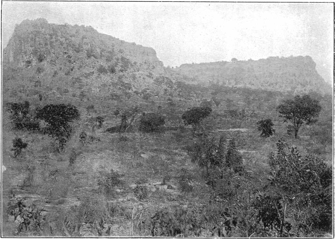
Ture or Tangale Peak.
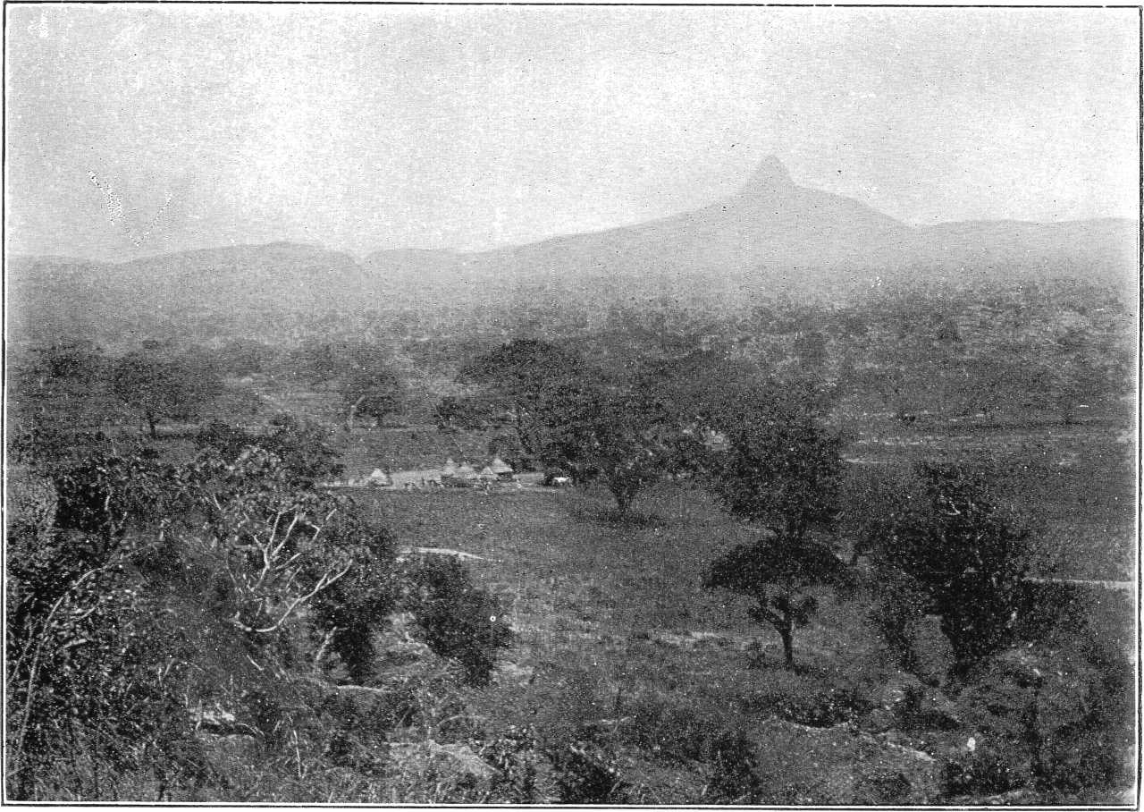
The great development of rocks of Eocene age in the region of the Upper Niger has been sufficiently emphasised by M. Chudeau.[92] The Niger sandstones of Dahomey[93] are undoubtedly continuous with the western members of the Sokoto series, and are properly ascribed by M. Chudeau to the Eocene. The sandstones of the Upper Benue valley in the northern territories of the Kameruns described by Dr. Passarge,[94] are likewise continuous with the Upper Benue sandstones of N. Nigeria, and therefore most probably also of Eocene age. From the Southern Kameruns Dr. Esch[95] has described Cretaceous and Eocene rocks whose mutual relations are very obscure. The locally folded character of the Cretaceous, however, suggests an unconformity at the base of the Eocene. In Southern Nigeria Mr. Parkinson[96] has indicated the occurrence of both Cretaceous and post-Cretaceous rocks whose relations are at present unknown. The clays and lignites of Asaba[97] may possibly, however, have been accumulated contemporaneously with the upper shallow-water portion of the Eocene of Northern Nigeria.
M. Chudeau’s[98] admirable attempt at the construction of a map of the central Sahara is somewhat marred by his admittedly audacious method of deducing the solid geology of certain areas from the average depth of the wells. A striking example of the inaccuracy thus introduced is the relegation by M. Chudeau of the Eocene rocks of Sokoto to the Lower Cretaceous. Another fruitful source of error is the failure of M. Chudeau to recognise, doubtless through the want of sufficiently suggestive exposures, the possibility of an unconformity between the Cretaceous and the Eocene in the Sudan. There is every reason to believe that the erosion which followed the post-Cretaceous elevation was active over the whole of the Sudan, and that the greater part of the hummocky and irregular surface thus produced was again under water during the period of the middle Eocene depression. Moreover, the deposits then accumulated were in turn subjected to erosion during a subsequent movement of elevation, with the result that the early Eocene surface of crystalline and Cretaceous rocks was again laid bare over considerable areas. In view, therefore, of the former probable extension of the soft sandstones and ironstones of Kerri Kerri and the Tagum Hills over the plains of Bornu, it is permissible to doubt the accuracy of much of M. Chudeau’s suggested stratigraphy of the Chad area. It seems more reasonable to regard the sandstones of Kanem and Manga as Eocene rather than Lower Cretaceous, and to look upon them as having been deposited, as in the case of the Eocene rocks of the Gongola valley, upon an earlier surface of Upper Cretaceous and crystalline rocks now buried beneath the superficial accumulations of Bornu. The rocks of Koutous and Alakhos, Ouame and Tirminy[99] present, moreover, characteristics which ally them more with the Eocene rocks of the south than with the Turonian of the Damergou, and it is possible that even the southern escarpment of the Tegama itself[100] where it overlooks the Damergou should be referred to the Eocene. The red, white, and yellow sandstones of Ennedi and of Snoussi on the Upper Shari are probably also of the same age, and in no way related (as suggested by M. Courtet[101]) to the Karroo beds of South Africa. (J. D. F.)