INDEX
Reading edition
Page
Acmen Ruin, described, 29
Antiquities, minor, 66
Architecture, culture areas determined by, 69
Architecture, Pueblo—
elements of, 73
of local origin, 70
Aztec architecture, unlike that of Pueblos, 69
Aztec Spring, ruins at, 23
described by Holmes, 24
described by Jackson, 24
ground plan of, 26
Beams, wooden, method of shaping, 67
Blanchard Ruin, 23
Bone, objects made of, 67
Bowlder Castle, description of, 57
Bowls, mortuary, 66
Bug Mesa Ruin, description of, 19
Bug Point Ruin, excavation of, showing unit type, 29
Burial customs, 66, 67
Burial places—
mentioned by Morgan, 21
near Holmes Tower, 59
on Grass Mesa, 64
on the Dolores, 11
Burkhardt Ruin. See Mud Spring Ruin.
Butte Ruin, description of, 32
Cannonball Ruin—
description of, 30
structural features of, 42
Castles, structural features of, 40
Caves—
apparently used for storage, 60
walled-up, 59
Cemeteries. See Burial places.
Ceremonial rooms, Hopi and Zuñi, not true kivas, 71
Chaco Canyon Ruins, comparative age of, 72
Circular Ruins—
distribution of, 31
structural features of, 31
Cliff-dwellers—
culture of, 9
region occupied by, 9
Cliff-dwellings—
architectural features of, 37
classification of, 15
double, 38
in Lost Canyon, 40
small, in the McElmo region, 37
Communal dwellings, 71
preceded by “small house”, 70
social conditions indicated by, 69
Consolidation of units, process of, 74
Corn, charred, found embedded in slag, 60
Davis Tower—
ground plan, 55
location of, 55
Depressions indicating kivas, 42
Dove Creek Ruins, 28
Eight Mile Ruin, masonry in, 41
Emerson, J. W., description of ruin by, 34
Emerson Ruin, description of, 33
Entrances—
to kivas, 42
to towers, 42
walled-up, 57
Eroded Bowlder House, description of, 49
Escalante and Dominguez, manuscript diary of, 36
Escalante Ruin, description of, 36
Far View House, a pueblo of pure type, 15, 16
Gibraltar House. See Stronghold House.
Gila Valley compounds, 71
allied to Mexican buildings, 67
Goodman Point Ruin, description of, 17
Grass Mesa, cemetery on, 64
Great houses—
date of construction undetermined, 43
possible use of, 42, 76
structural features of, 40
Hackberry Canyon cliff-house, a “unit type”, 40
Hackberry Castle, description of, 52
Hackberry group, elements composing, 74
Hill Canyon Ruins, 42
masonry of, 42
Holly Canyon—
ground plan, 52
ruins of, 52
Holly Canyon group, elements composing, 74
Holly House Ruins, description of, 53
Holmes, W. H.—
on probable use of towers, 42
on tower at Mud Spring, 20
report of, as reference work, 11
report on ruins by, 10, 11
slab inclosures described by, 62
Holmes Tower, description of, 58
Hopi ceremonial rooms, not true kivas, 71
Horseshoe House—
compared with Sun Temple, 54
description of, 53
ground plan, 54
structural features of, 40
Hovenweep Castle—
description of, 47
ground plan of, 47
Hovenweep district—
a proposed National Monument, 44
canyons of, containing ruins, 44
ruins of, 44
Hovenweep House, description of, 46
Implements, stone, 67
Ingersoll, Ernest, newspaper article by, 11
Jackson, Wm. H.—
report of, as work of reference, 11
report of, on ruins, 10, 11
slab inclosures described by, 62
Johnson Ruin, description of, 18
Keeley Towers, location of, 45
Kidder, A. V. See Morley and Kidder.
Kiva of Unit type House, architectural features of, 51
Kivas—
double-walled, 39
entrances to, 42
indicated by depressions, 42
indicative of social units, 70
structural features of, 37
Lion Tower—
description of, 55
ground plan of, 55
Littrell Tower. See Lion Tower.
Lost Canyon cliff-houses, 40
“Lower House,” of Aztec Spring Ruin, 25, 27
McElmo Bluff, ruins at, 60
McElmo district—
distinctive feature of ruins of, 15
investigations in, of 1917, 10
McElmo Ruins, latest work on, 14
McLean Basin—
ground plan of ruins of, 56
pottery found in, 56
ruins of, described, 55
towers of, 56
Mancos region, towers of, 58
Masonry—
of Hill Canyon Ruins, 42
skill shown in construction, 40
varieties of, 41
Megalithic ruins, 60
Megaliths, circular structures of, 60
Mesa Verde—
cliff-dwellings and villages of, 9
culture of inhabitants of, 9
Mesa Verde Ruins, comparative age of, 72
Metates—
found at Surouaro, 17
with skeletal remains, 67
Mexican tribes and the Pueblos, relation between, 69
Mitchell, H. L., notes contributed by, 11
Mitchell Spring Ruin, description of, 19
Mitchell Spring village, origin of the name, 12
Monoliths in walls, 30
Montezuma Valley, distinctive feature of ruins in, 15
Moorehead, Warren K., ruins described by, 12
Morgan, L. H.—
investigation of ruins by, 10, 11
notes of, on ruins of Mesa Verde, 11
on Mitchell Spring Ruin, 19
on Mud Creek village, 21
Morley, S. G.—
excavations conducted by, 30
work of, 13
Morley, S. G., and Kidder, A. V., ruins described by, 14
Mounds—
near Mummy Lake, 15
of Mud Spring Ruin, 21
Mud Spring Ruin, description of, 20
Mummy Lake mounds, 15
Nelson, N. C., on Pueblo ruins, 17
Newberry, J. S., on Surouaro, 17
Nordenskiöld, Baron G., work of, 13
Oak Spring House, description of, 29
Old Spanish Trail, route of, 36, 68
Open-air ruins of Dove Creek, 28
Parker, Gordon, assistance of, 40
Pictographs—
colored, 65
covered with plaster, 65
incised on stone, 65
near Ruin 5, 49
near slab inclosures, 63
Pierson Lake Ruin. See Squaw Point Ruin.
Pilasters lacking in towers, 42
Plastering, interiors covered with, 41
Pottery—
culture areas determined by, 69
description of, 66
Prudden, T. Mitchell—
articles by, on ruins of San Juan watershed, 12
excavations conducted by, 19
on towers as part of composite ruins, 44
Pueblo architecture—
elements of complex, 73
of local origin, 70
Pueblo culture, direction of its migration, 72
Pueblo tribes, origin of, 69
“Pure type” defined, 16
Reservoir Group, named by J. Ward Emerson, 34
Reservoirs, Indian—
crossed by Old Bluff Road, 45
natural and artificial, 64
Road Canyon, formerly called the Wickyup, 57
Rooms, with megalithic walls, 15
Ruin 3, description of, 48
Ruin 4, description of, 49
Ruin 5, description of, 49
Ruin 6, description of, 49
Ruin 7. See Eroded Bowlder House.
Ruin 8. See Twin Towers.
Ruin 9, description of, 50
Ruin 10. See Unit type House.
Ruin 11. See Stronghold House.
Ruin Canyon—
duplication of name misleading, 45
ruin in, 30
unit type houses of, 40
Ruins—
classification of, 14
evidences of age of, 73
Sand Canyon—
cliff-dwellings in, 38
scaffold in, 38
tower in, 57
Scaffold for lookout, 38
Semicircular ruins, description of, 22
Slab inclosures—
described by Jackson, 62
described by Holmes, 62
Slab structures—
box-like, 60
circular, 60
pottery found near, 61
theories concerning, 61
“Small house” type of architecture, 70
Social organization, relation between architecture and, 75
“Spanish Trail.” See Old Spanish Trail.
Square Tower Canyon—
classification of ruins in, 46
directions for reaching, 45
map of, 45
new name for Ruin Canyon, 45
Squaw Point Ruin, described, 28
Stone Arch House, location of, 38
Stronghold House, description of, 52
Sun Dial Palace, named by J. Ward Emerson, 34
Sun Temple—
discovery of, 10
evidence of age of, 73
possible use of, 76
unique ground plan of, 42
Surouaro—
description of, 16
named by Newberry, 12
signification of name, 17
Towers—
D-shaped, 44
date of construction undetermined, 43
entrance to, 42
entrance walled up, 57
forms of, 43
of Holly Canyon, 52
of McLean Basin, 56
of Mancos region, 58
of Sand Canyon, 57
of Wickyup Canyon, 57
possible use of, 42
structural features of, 40
windows absent in, 42
Towers and great houses—
form and construction of, 15
situation of, 15
“Triple-walled tower”—
at Mud Spring Ruin, 20
condition of, in 1881, 21
visited by Holmes, 11
Twin Towers—
description of, 50
ground plan of, 50
Unit type—
defined, 16, 39
described by Prudden, 12
origin of, 72
unlike small house of Little Colorado, 70
Unit type House—
description of, 50
ground plan of, 51
Unit type houses—
in cave, 39
in Hackberry Canyon, 40
“Upper House” of Aztec Spring Ruin, 25, 26, 27
Villages—
defined, 16
essential features of, 14, 16
Weapons, iron, 68
Wickyup Canyon—
description of, 57
towers in, 57
Wolley Ranch Ruin, description of, 22
Wood Canyon Ruins, description of, 32
Yellow Jacket Canyon—
formerly known as Hovenweep, 57
investigations in, 10
towers of, 54
Zuñi ceremonial rooms not true kivas, 71
PLATE 1
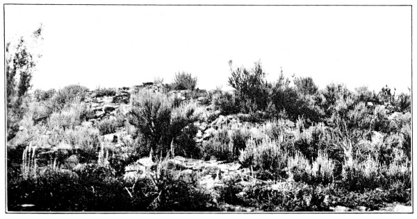
a, BUTTE RUIN
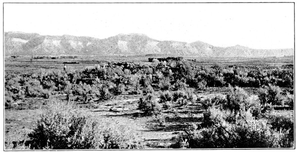
b, AZTEC SPRING RUIN
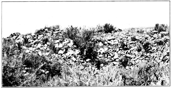
c, SUROUARO, YELLOW JACKET SPRING RUIN
(Photographs by Jacob Wirsula)
PLATE 2
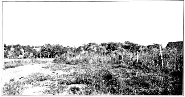
a, BLANCHARD RUIN
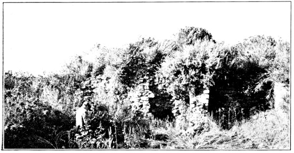
b, BLANCHARD RUIN, MOUND 2
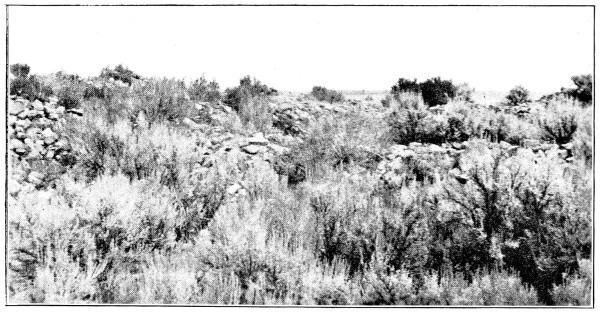
c, SUROUARO, YELLOW JACKET SPRING RUIN
(Photographs by Jacob Wirsula)
PLATE 3
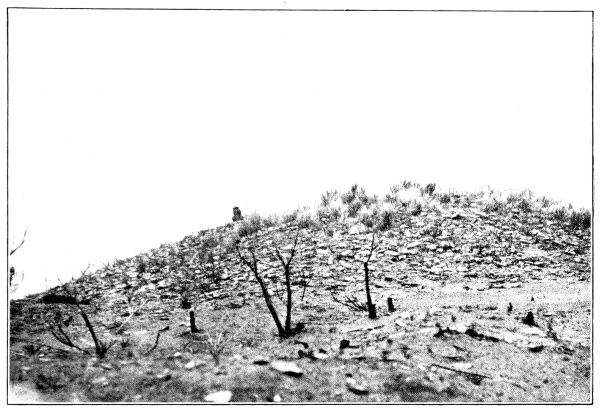
a, ACMEN RUIN
(Photograph by T. G. Lemmon)
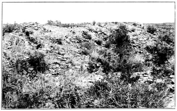
b, MUD SPRING RUIN
(Photograph by Jacob Wirsula)
PLATE 4
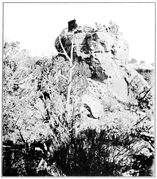
a, BUILDING ON ROCK PINNACLE, NEAR STONE ARCH, SAND CANYON
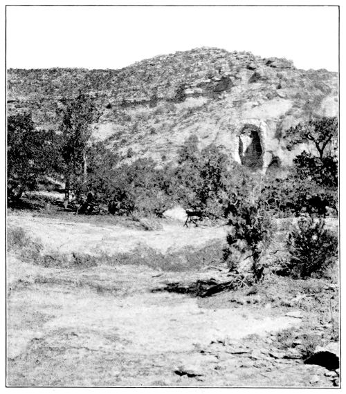
b, STONE ARCH, SAND CANYON
(Photographs by J. Walter Fewkes)
PLATE 5
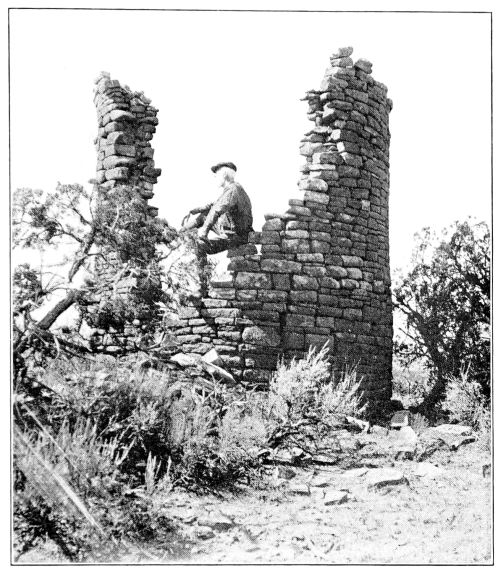
a, TOWER IN SAND CANYON
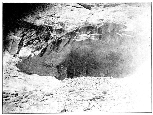
b, UNIT TYPE HOUSE IN SAND CANYON
(Photographs by T. G. Lemmon)
PLATE 6
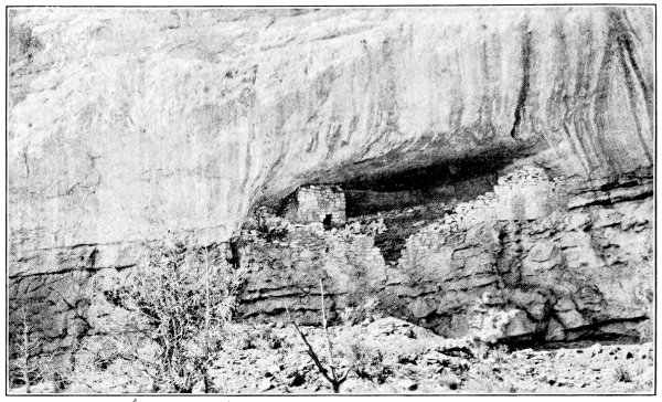
a, STONE ARCH HOUSE, SAND CANYON
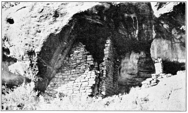
b, CLIFF-HOUSE, SHOWING BROKEN CORNER
(Photographs by Jacob Wirsula)
PLATE 7
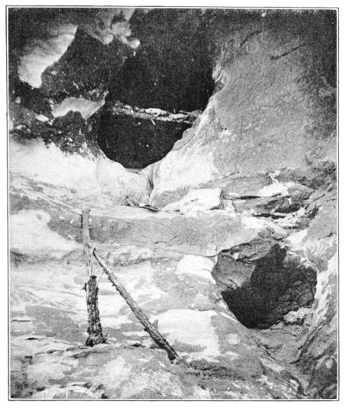
a, SCAFFOLD IN SAND CANYON
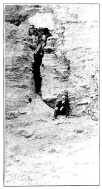
b, STORAGE CIST IN MANCOS VALLEY
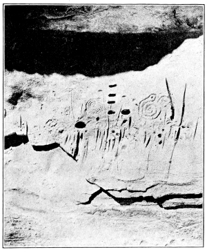
c, PICTOGRAPHS NEAR UNIT TYPE HOUSE IN CAVE
(Photographs by T. G. Lemmon)
PLATE 8
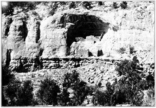
DOUBLE CLIFF-DWELLING, SAND CANYON
(Photograph by T. G. Lemmon)
PLATE 9
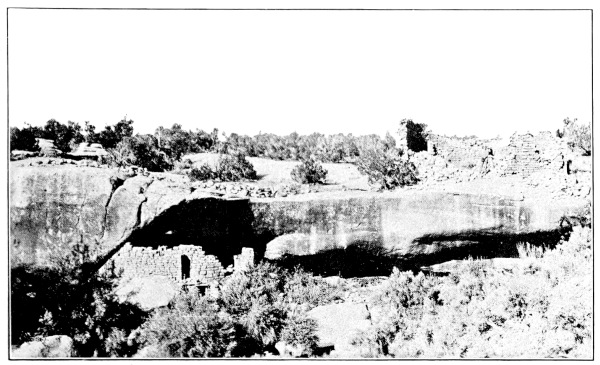
a, CLIFF-DWELLING UNDER HORSESHOE RUIN
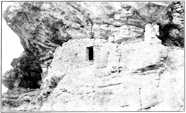
b, CLIFF-DWELLING, RUIN CANYON
(Photographs by Jacob Wirsula)
PLATE 10
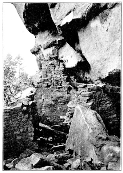
a, KIVA OF CLIFF RUIN, LOST CANYON
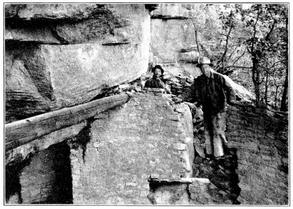
b, CLIFF RUIN, LOST CANYON
(Photographs by Gordon Parker)
PLATE 11
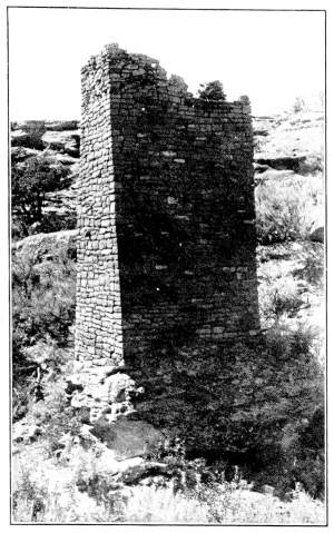
a, SQUARE TOWER IN SQUARE TOWER CANYON
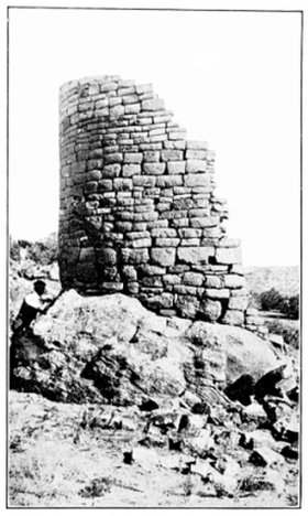
b, TOWER IN McLEAN BASIN
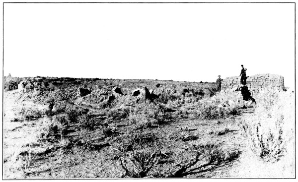
c, RUIN IN HILL CANYON, UTAH
(Photographs by T. G. Lemmon)
PLATE 12
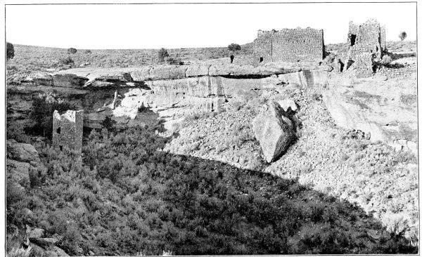
HEAD OF SOUTH FORK, SQUARE TOWER CANYON
(Photograph by Geo. L. Beam. Courtesy of the Denver & Rio Grande Railroad)
PLATE 13
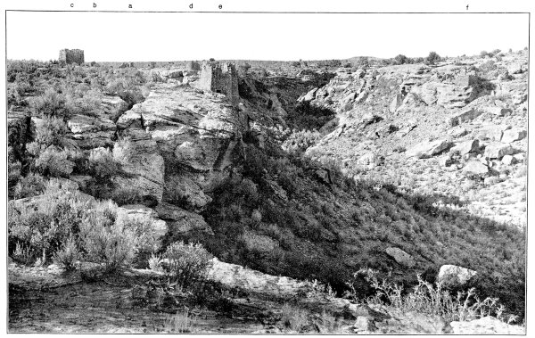
NORTH FORK OF SQUARE TOWER CANYON, LOOKING WEST
a, Hovenweep Castle. b, Hovenweep House. c, Tower No. 9. d, Tower on point at junction of North and South Forks. e, Twin Towers. f, Unit type House
(Photograph by Geo. L. Beam. Courtesy of the Denver & Rio Grande Railroad)
PLATE 14
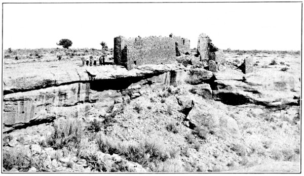
a, HOVENWEEP HOUSE AND HOVENWEEP CASTLE, FROM THE SOUTH
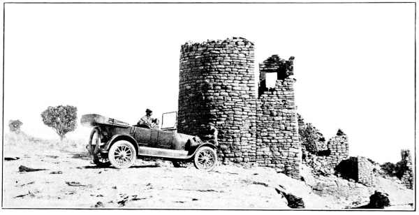
b, HOVENWEEP CASTLE, FROM THE WEST
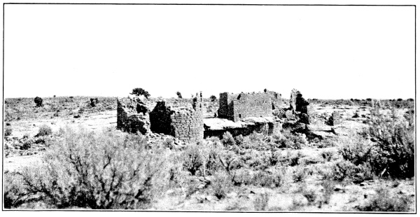
c, HOVENWEEP CASTLE, FROM THE SOUTH
(Photographs by Jacob Wirsula)
PLATE 15
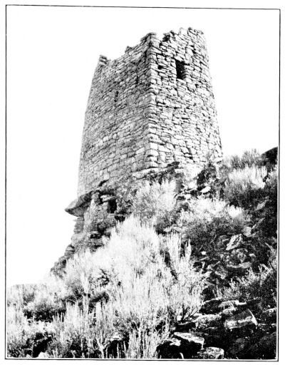
a, WEST END OF TWIN TOWER, SHOWING SMALL CLIFF-HOUSE
(Photograph by J. Walter Fewkes)
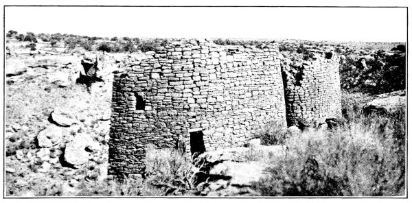
b, TWIN TOWERS, SQUARE TOWER CANYON, FROM THE SOUTH
(Photograph by Jacob Wirsula)
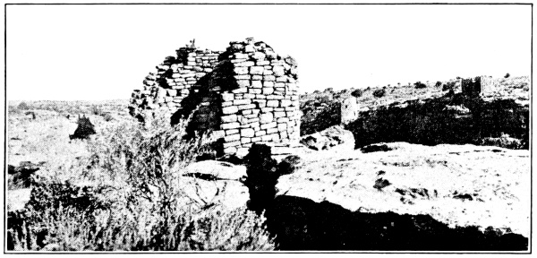
c, TOWER 4, JUNCTION OF NORTH AND SOUTH FORKS, SQUARE TOWER CANYON
(Photograph by Jacob Wirsula)
PLATE 16
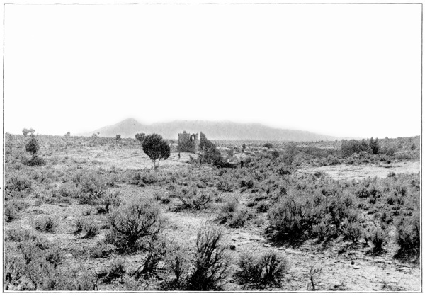
a, HOVENWEEP CASTLE, WITH SLEEPING UTE MOUNTAIN, SOUTH FORK, SQUARE TOWER CANYON
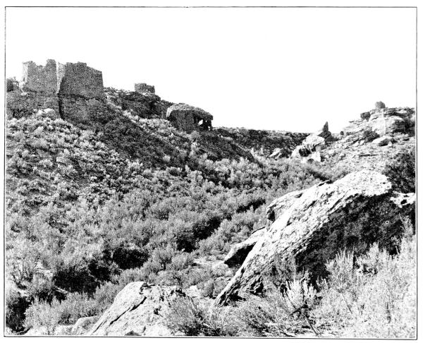
b, ENTRANCE TO SOUTH FORK, SQUARE TOWER CANYON
(Photographs by Geo. L. Beam. Courtesy of the Denver & Rio Grande Railroad)
PLATE 17
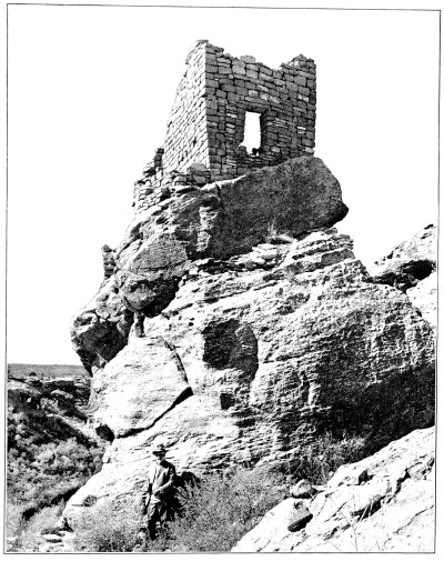
STRONGHOLD HOUSE, SQUARE TOWER CANYON
(Photograph by Geo. L. Beam. Courtesy of the Denver & Rio Grande Railroad)
PLATE 18
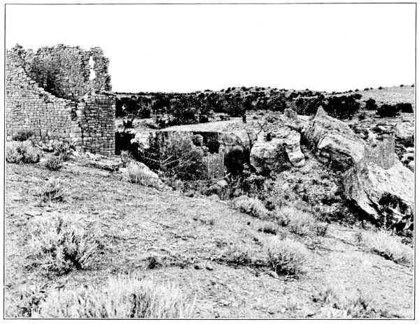
a, HEAD OF HOLLY CANYON
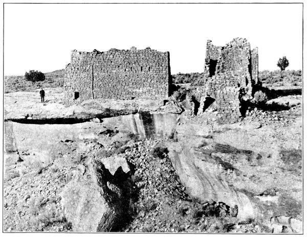
b, SOUTH SIDE OF HOVENWEEP CASTLE, SQUARE TOWER CANYON
(Photographs by Geo. L. Beam. Courtesy of the Denver & Rio Grande Railroad)
PLATE 19
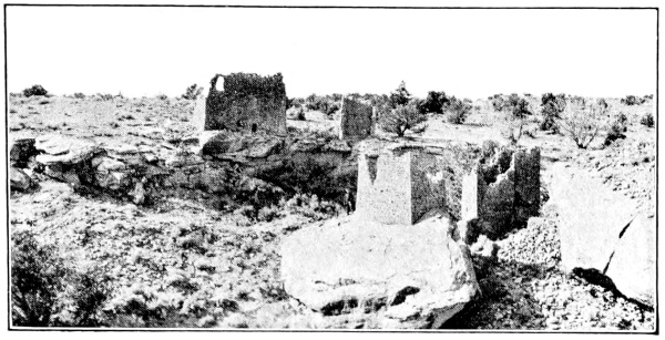
a, HOLLY CANYON GROUP, FROM THE EAST
(Photograph by Jacob Wirsula)
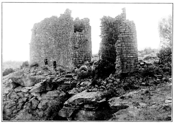
b, GREAT HOUSE AT HEAD OF HOLLY CANYON, FROM THE NORTH
(Photograph by T. G. Lemmon)
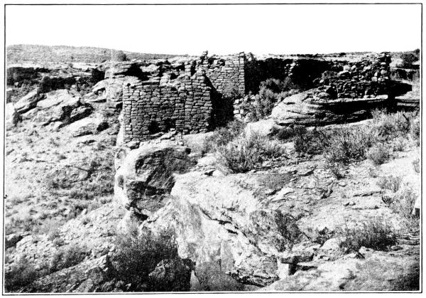
c, UNIT TYPE RUIN, FROM THE EAST
(Photograph by T. G. Lemmon)
PLATE 20
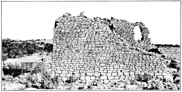
a, GREAT HOUSE AT HEAD OF HOLLY CANYON, FROM THE SOUTH
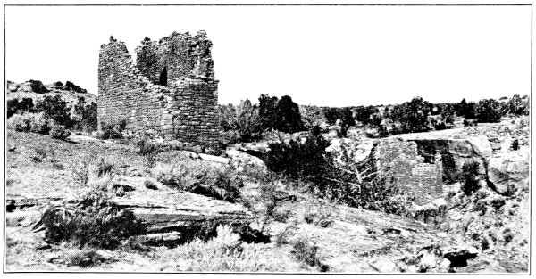
b, RUIN B AT HEAD OF HOLLY CANYON, FROM THE WEST
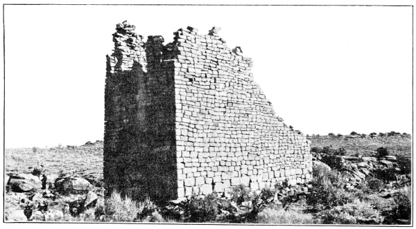
c, GREAT HOUSE AT HEAD OF HOLLY CANYON
(Photographs by Jacob Wirsula)
PLATE 21
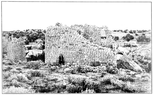
a, GREAT HOUSE, HOLLY CANYON
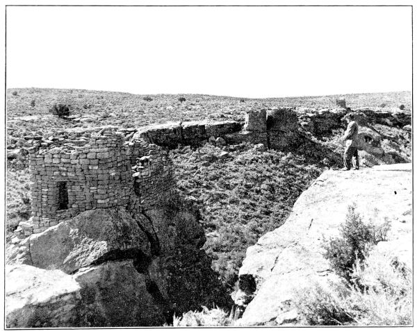
b, STRONGHOLD HOUSE AND TWIN TOWERS, SQUARE TOWER CANYON
(Photographs by Geo. L. Beam. Courtesy of the Denver & Rio Grande Railroad)
PLATE 22
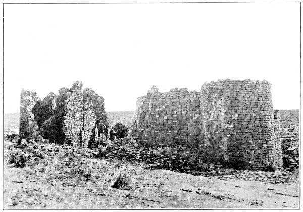
a, HOVENWEEP CASTLE
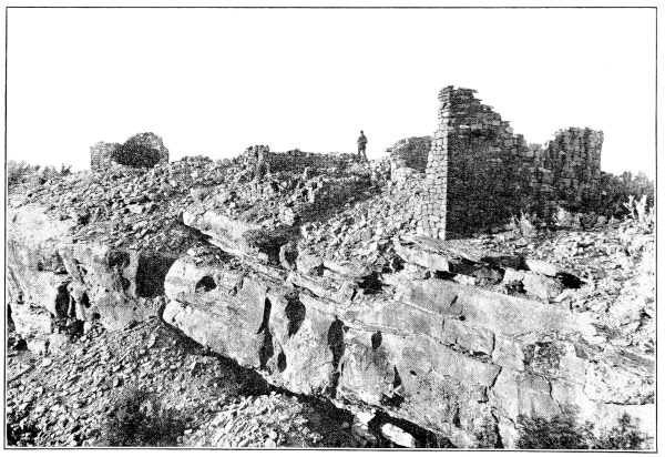
b, SOUTHERN PART OF CANNONBALL RUIN, McELMO CANYON
(Photographs by T. G. Lemmon)
PLATE 23
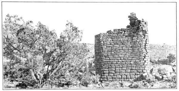
a, SQUARE TOWER WITH ROUNDED CORNERS, HOLLY CANYON
(Photograph by Jacob Wirsula)
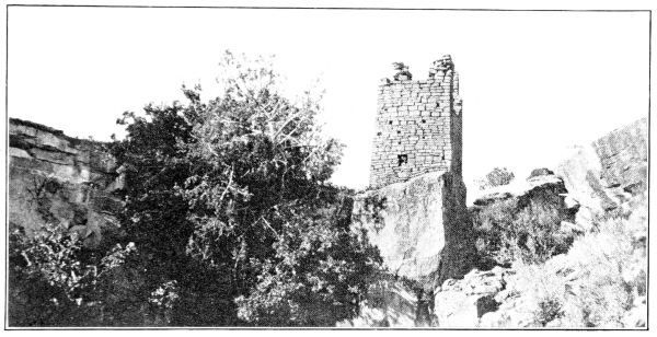
b, HOLLY TOWER IN HOLLY CANYON
(Photograph by Jacob Wirsula)
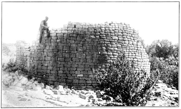
c, HORSESHOE HOUSE
(Photograph by T. G. Lemmon)
PLATE 24
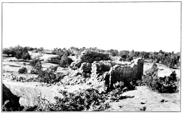
a, HORSESHOE RUIN
(Photograph by Jacob Wirsula)
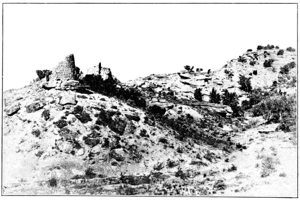
b, BOWLDER CASTLE, ROAD (WICKYUP) CANYON
(Photograph by T. G. Lemmon)
PLATE 25
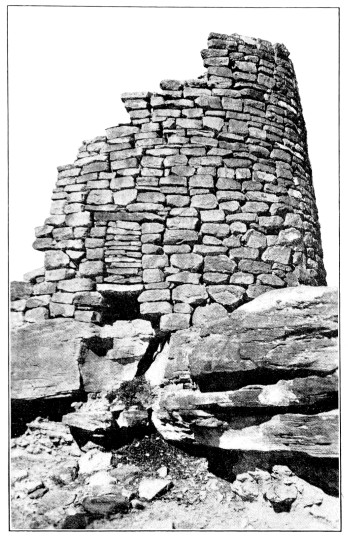
a, CLOSED DOORWAY IN BOWLDER CASTLE, ROAD (WICKYUP) CANYON
(Photograph by J. Walter Fewkes)
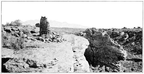
b, BROKEN-DOWN ROUND TOWER, SQUARE TOWER CANYON
(Photograph by Jacob Wirsula)
PLATE 26
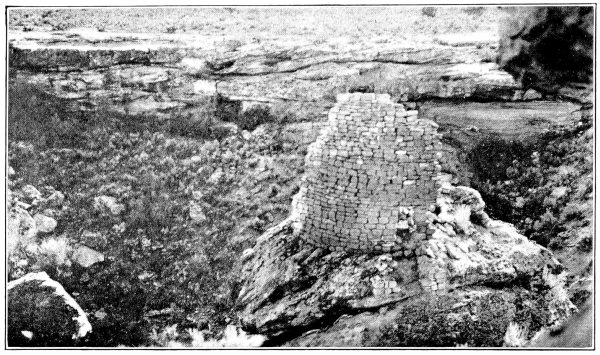
a, NORTH SIDE OF TOWER, SQUARE TOWER CANYON
(Photograph by Jacob Wirsula)
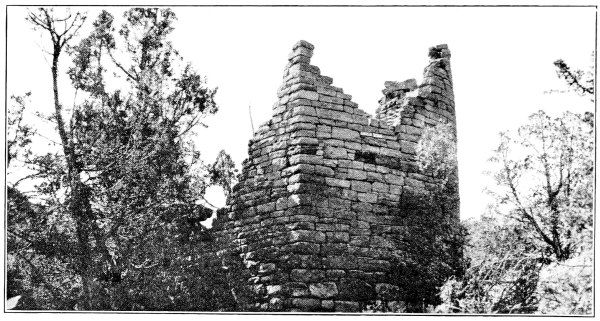
b, D-SHAPED TOWER NEAR DAVIS RANCH, YELLOW JACKET CANYON
(Photograph by Jacob Wirsula)
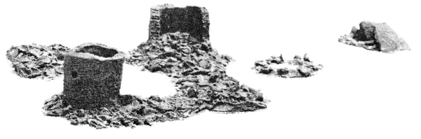
c, MODEL OF TOWERS IN McLEAN BASIN
(Photograph by De Lancey Gill)
PLATE 27
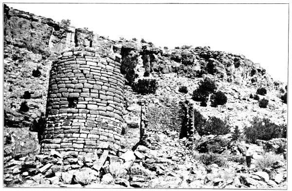
ROUND TOWER AND D-SHAPED TOWER IN McLEAN BASIN
(Photograph by J. Walter Fewkes)
PLATE 28
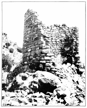
a, D-SHAPED TOWER IN McLEAN BASIN, SHOWING CROSS SECTION OF WALL
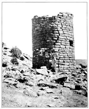
b, ROUND TOWER IN McLEAN BASIN, SHOWING STANDING STONE SLAB
(Photographs by J. Walter Fewkes)
PLATE 29
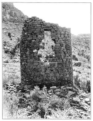
a, HOLMES TOWER, MANCOS CANYON
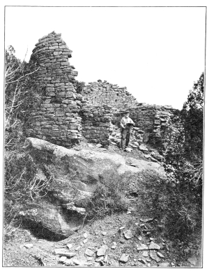
b, LION TOWER, YELLOW JACKET CANYON
(Photographs by T. G. Lemmon)
PLATE 30
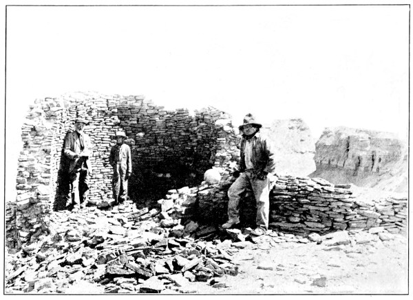
a, TOWER ABOVE CAVATE STOREHOUSES, MANCOS CANYON BELOW BRIDGE
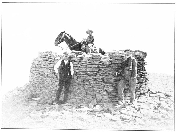
b, TOWER ON MESA BETWEEN ERODED CLIFFS AND BRIDGE OVER MANCOS CANYON ON CORTEZ SHIP-ROCK ROAD
(Photographs by T. G. Lemmon)
PLATE 31
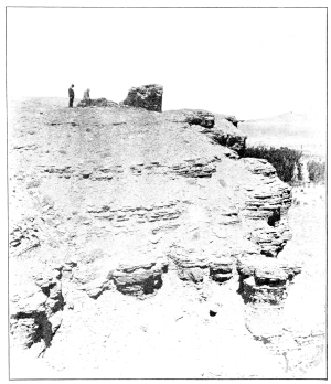
a, TOWER ABOVE CAVATE STOREHOUSES, MANCOS CANYON BELOW BRIDGE
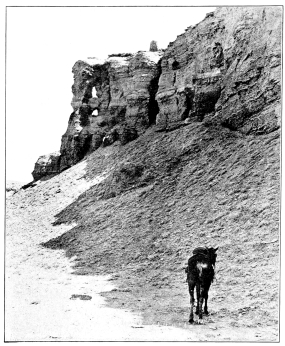
b, ERODED SHALE FORMATION IN WHICH ARE SMALL WALLED CAVATE STOREHOUSES
(Photographs by T. G. Lemmon)
PLATE 32
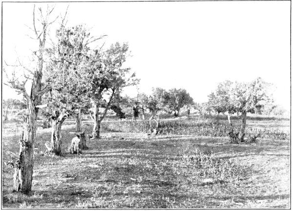
a, RESERVOIR NEAR PICKET CORRAL, SHOWING RETAINING WALL
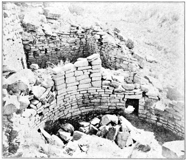
b, KIVA, UNIT TYPE HOUSE, SQUARE TOWER CANYON
(Photographs by T. G. Lemmon)
PLATE 33
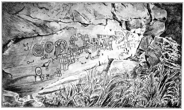
PICTOGRAPHS, YELLOW JACKET CANYON
Footnotes: