Volume 1 — LIST of PLATES.
Reading edition
──────
Vol. I.
Map of the NORTHERN STATES of America Page 1
Plan of the CITY of WASHINGTON 81
View of MOUNT VERNON, the Seat of General Washington 92
American STAGE WAGGON 27
View of the Natural ROCK BRIDGE in Virginia 221
View on the HUDSON RIVER[N.B.] 268
View of the COHOZ FALL 275
Map of Upper and Lower CANADA 305
Plan of the CITY of QUEBEC 342
View of CAPE DIAMOND, from Wolfe’s Cove, near Quebec 346
CANADIAN CALASH or Marche-donc 306
N.B.: In some of the Impressions, by mistake, called “View of the Patowmac River from Mount Vernon.”
Vol. II.
An Eye Sketch of the FALLS of Niagara 118
View of the HORSE-SHOE FALL of Niagara 118
── Lesser FALLS of NIAGARA 118
General View of the FALLS of Niagara 121
View of BETHLEHEM, a Moravian Settlement 355
xxvi
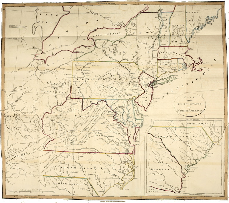
PART of the United States of North America. Click on the map for a higher resolution version.
1TRAVELS
THROUGH THE STATES OF
NORTH AMERICA.