SOURCES OF INFORMATION
Reading edition
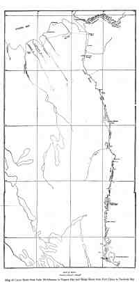
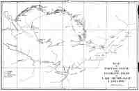
On the map of the portage route to Lake Michikamau; that lake, the Grand River and Groswater Bay are taken from the map accompanying the report of Mr. A. P. Low.
The location of the Susan and Beaver Rivers with their tributaries was obtained from Dillon Wallace’s map in “The Lure of the Labrador Wild.”
The instruments used were a Brunton Pocket Transit, a small taffrail log and an Aneroid Barometer. Distances on land were approximated by means of a pedometer and by rough triangulation.