SAND BAR STATE PARK
Reading edition
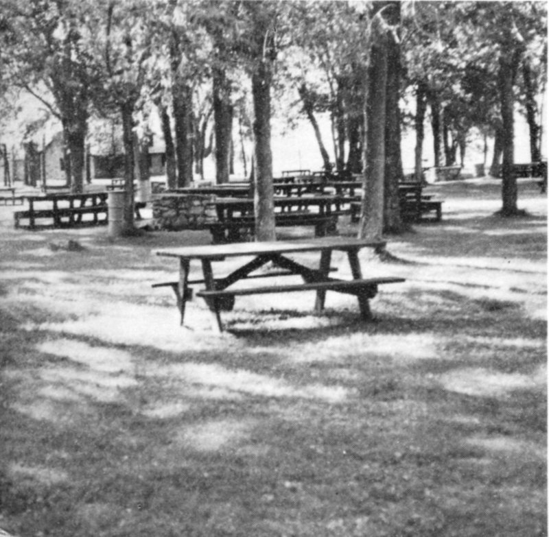
Sand Bar State Park on flat surface of Lamoille River delta. A part of extensive picnic area looking northwest.
THE GEOLOGY OF D.A.R. STATE PARK MT. PHILO STATE FOREST PARK SAND BAR STATE PARK
By HARRY W. DODGE, JR.
VERMONT GEOLOGICAL SURVEY CHARLES G. DOLL, State Geologist
DEPARTMENT OF FORESTS AND PARKS ROBERT B. WILLIAMS, Commissioner
DEPARTMENT OF WATER RESOURCES Montpelier, Vermont
1969
3
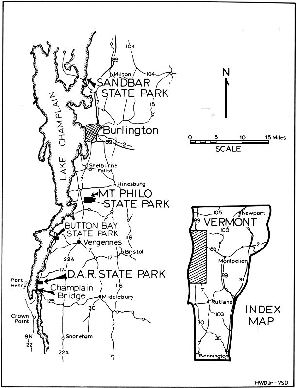
Fig. 1. Index Map.
SANDBAR STATE PARK
MT. PHILO STATE PARK
BUTTON BAY STATE PARK
D.A.R. STATE PARK
LAKE CHAMPLAIN
Milton
Burlington
Shelburne Falls
Hinesburg
Vergennes
Bristol
Port Henry
Champlain Bridge
Middlebury
Crown Point
Shoreham
INDEX MAP
4
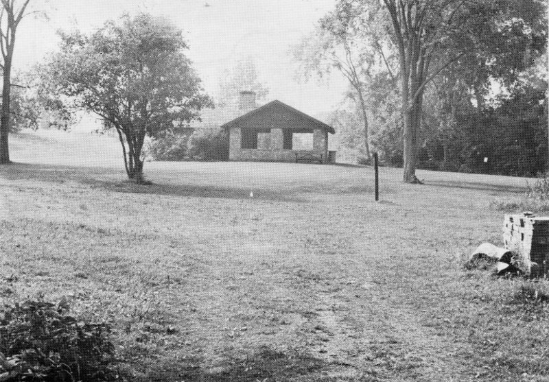
Fig. 1a. Surface of marine terrace at D.A.R. State Park. Immediately to the left of shelter the land rises to a second terrace.
5
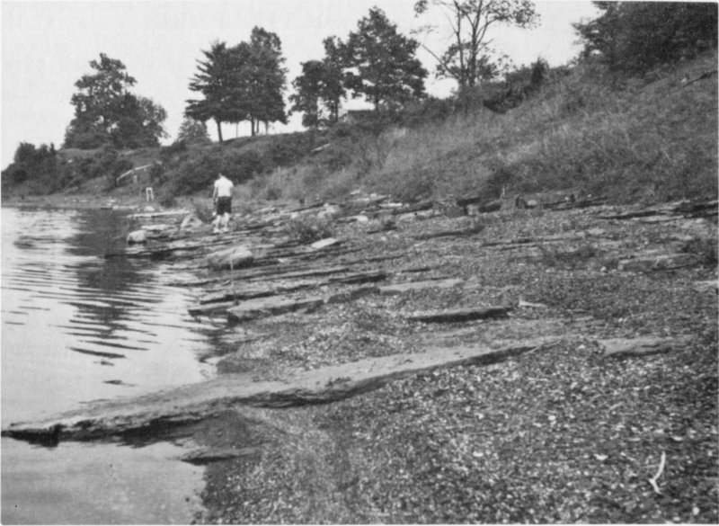
Fig. 2. View northwest along park beach. Illustrates dip of rocks toward northwest; strike, northeast.