Chapter IV · (continued 2)
Reading edition
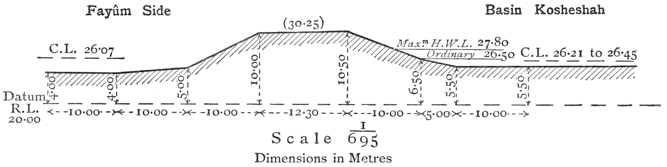
Plate XXVII. Bank Right of Lahûn Bridge, or Gisr Gadallah.
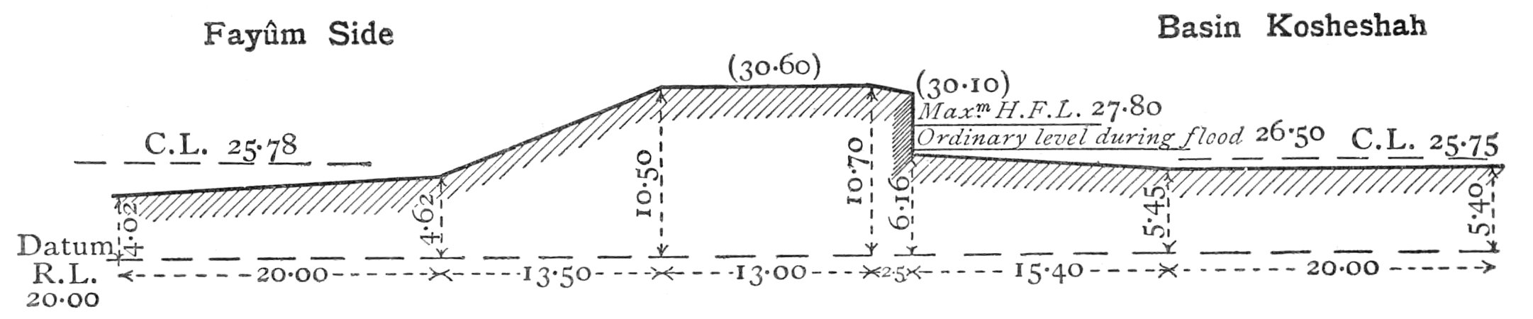
Bank Left of Lahûn Bridge, or Gisr Bahlawân. CROSS SECTIONS OF LAHÛN BANKS.
It is evident, from the remains of canals along the north and south sides of the Fayûm, that at some time or other these slopes of the province were irrigated to higher levels than the limit of the present cultivation. On the right the old Bahr Wardan is traceable from its old mouth on the Bahr Yûsuf (Kom-el-Iswid) above the present Sêlah Head as far as the north-west corner of the Fayûm depression. It would appear that the water surface level of the Bahr Yûsuf at Hawârah must be lower now than when this canal was under conditions favourable for irrigation. Perhaps it worked when the regulator was, as supposed, at Hawârah, and before the Lahûn bank and old bridge shut out the high-level waters of the Nile flood.
On the south side of the Fayûm there are similarly the remains of an old canal within the limits of what is now desert. This was probably fed by an aqueduct formed along the top of the Minia wall, which held up the waters in Hod-el-Tuyûr. This wall and aqueduct were breached, and though the wall was restored, the aqueduct was not, and the supply was cut off from the high-level canal. The land depending on it consequently returned to desert. Large blocks of old masonry lying prone on the ground at some distance from the present wall show with what force the escaping waters must have rushed through the breaches to have been able to transport such massive blocks to so great a distance from their original position.