THE CAMEROON-NIGERIAN BOUNDARY.
Reading edition
THE country bordering on the Nigerian boundary from Yola to Obokum on the Cross River, a distance of 360 miles, and the peoples inhabiting the several districts it passes through, have been admirably dealt with by Captain W. V. Nugent, R.A. Captain Nugent, who had been a member of the Commission under Colonel Whitlock which surveyed this area between 1907 and 1909, was sent out in August, 1912, to mark the boundary between the Cameroon and the Nigerias along the line which had been previously settled approximately on the map at a conference between the British and German Governments. The British Commissioner and his assistants met Lieut. Detzner, the German Commissioner, on October 8th, 1912, and the work of demarcation continued without interruption for six months, during which time 116 pillars were placed in position. Both Commissioners wrote accounts of this Anglo-German Frontier Demarcation Expedition, but, while Lieut. Detzner’s official article on the subject, published in Deutsches Kolonialblatt (1913) is a dull, pedantic and unsatisfactory document, the paper read by Captain Nugent before the Royal Geographical Society in March, 1914, is compact of information and extremely interesting, and it is from his descriptions that I have derived the following details and extracts.
The frontier line divides the mountains, torrential streams and sparsely-inhabited areas of the Cameroons form the wide fertile plains, great navigable waterways and densely populated districts on the Nigerian side of the border. The fact that Benue River and its three great southern tributaries, the Teraba, Donga and Katsena Rivers, all rise on the plateaux of the Central Cameroon, and only become navigable for canoes upon entering Nigerian territory, explain the unequal distribution of man over the country; for, while the savage pagan tribes have withdrawn to the almost inaccessible hilltops, the more civilised agricultural and trading peoples have kept to the well-watered plains.
THE FULANI REGION.
The boundary line, which commences at Byaaer, a three days’ march from Yola, crosses the M’Bulo plain and follows the Upper M’Bulo river to its source in the Shebshi Mountains. “The plain,” to quote from Captain Nugent’s description, “is covered with thin bush, and dotted with villages, each with its surrounding patches of cultivation. The formation is brown laterite, the rocks containing occasional bands and lumps of ironstone.” The lower slopes of the isolated granite hills, which rise above the general level, are covered with pagan villages. “The people inhabiting the plains on both sides of the boundary are Fulanis, subject to the Emirs of Yola and Nassarawa; but the tops of isolated mountains, and the narrow valleys between the long spurs jutting out from the Shebshi group, are inhabited by pagans, offshoots of the Chamba and Dakka tribes. The habits and customs of the Fulanis are well known—they are by nature herdsmen, just as the Hausas are born traders and the pagans agriculturists. The country is rich in flocks and herds of cattle, sheep and goats. A large trade is also done in horses. The villages consist of round huts of sun-baked mud, with conical roofs thatched with dry grass. Sometimes, when the village is only intended to be temporary, the walls of the huts are made of zana matting, which is also used to enclose the compounds, or groups of huts inhabited by one family. Every village has its assembly place, generally under a large shady tree, where the headman and his advisers sit all day and smoke, while the slaves work in the fields or drive the cattle to pasture. Slave-dealing is still carried on in this country, advantage being taken of the proximity of the boundary, which makes it so easy to evade justice.... The work of marking the boundary was watched with the greatest interest by the Fulani population. The ‘kings’ of all the towns on the English side, and a good many from the German side, came to salute us, generally bringing a present of a fowl or a basket of limes. Each ‘king’ carries a long stick, surmounted by a brass crown, the emblem of his office under the Government. There are first, second and third class ‘kings’; the size of the crown varies accordingly.”
The line in crossing the Shebshi Mountains passes over the summit of Mount Dakka, upon which the boundary pillar is 5,388 feet above sea level. “The view from Dakka is magnificent. On all sides are tumbled masses of mountain, much cut up by deep ravines and rocky gorges, through which the many headwaters of the M’Bulo and Kam rivers tear headlong to the plains. On the German side, Vogel Spitz rises amid innumerable peaks and valleys to a height of nearly 7,000 feet, overlooking some hundred square miles of still unknown country. The northern spurs, projecting into the Cameroons, enclose high table-lands, extraordinarily fertile and highly cultivated.... The boundary crosses the plateau near the only practicable pass, the road being entirely on the German side, so that one result of the demarcation is to close the direct trade route between M’Bulo and Kam Valleys until a new pass is discovered. There are plenty of tracks over these mountains, but very few practicable for animals. A bull which costs £1 at Tibak, in the M’Bulo Valley, is worth £3 or £4 at Gankita, in the Kam Valley, the distance as the crow flies between these two places being no more than twelve miles.”
THE SHEBSHI MOUNTAINEERS.
“The Shebshi Mountains are interesting from the fact that they would form the principal obstacle, a well-nigh insuperable one, to the construction of a direct line of railway from Calabar, or a point on the Cross River, via Takum and Bakundi, to Yola. Yola is one of the few important points in Nigeria which does not appear likely to be linked up with the coast by a railway for many years to come. The German railway from Duala to the north, if it ever does reach Garua, will pass to the east of the Shebshis, where many obstacles, almost as formidable, will have to be overcome....
“The people inhabiting the Shebshi Mountains and their foothills are principally Chamba and Dakka pagans. They have many points in common with other hill pagans of Northern Nigeria and Adamawa. The effect of Mohammedan inroads upon these tribes is especially evident. They may be divided into two classes: firstly, those who are slaves and mingle freely with the Fulanis, their villages being in the plain; and, secondly, those who hold themselves aloof on the hill-tops. The former have copied many things from the Fulanis, such as clothing, houses, &c.—almost everything, in fact, except their pastoral proclivities. The pagan will keep goats and fowls, but he will have nothing to do with horses and cattle.
“It is with the hill-top pagans, however, that we are principally concerned, as nine-tenths of the whole boundary zone are inhabited by people of this denomination. The first sign of the lower stage of civilization is the absence of clothing. A tuft of grass is the national dress, and even this is often dispensed with.
“The villages consist of little beehive-shaped huts of mud or grass, perched on apparently inaccessible heights, or cunningly hidden away in mazes of dense tropical vegetation. The inhabitants bear a great resemblance to monkeys, being small in stature, but extraordinarily active. The steepest and most difficult ascent over rocks and ravines is to them as easy as a straight, broad, level road. In fact, I have often noticed that these pagans, made to carry a load on the level, are utterly at a loss. They only come down from their rocky fastnesses to cultivate their fields, or to make war on their neighbours. They are armed with bows and poisoned arrows, from which it is never safe for them to be parted, even when working in the fields. They are almost invariably at war with a neighbouring village, the probable reason being that some of their women have been carried off. No regular trade is indulged in, but they are very fond of salt, which they obtain from Hausa traders. A bag of salt which costs half-a-crown on the coast has a purchasing power of at least ten shillings in this country.
“Each village is an independent community under a chief. The inhabitants are entirely ignorant of the world beyond the next village to their own. The nominal chief of the village has not, as a rule, as much influence as the local ju-ju man or witch doctor, whose power over these extremely superstitious people is directly proportionate to his success in imposing upon their credulity. Any calamity, such as an epidemic of sickness or a sudden death, is always attributed to the evil eye, and some member of the community is at once suspected, and either killed or sold to passing Hausa traders. If a chief dies, the village always moves to another site. This partly accounts for the number of deserted villages and ruins found in the Shebshi Mountains.
“The Chambas are industrious agriculturists, and keep large numbers of goats and fowls in their villages. The farms are generally at the foot of the hills. After the harvest the people brew large supplies of spirit from the grain, and get drunk for several days together. These orgies generally result in fighting among themselves. The principal industry, besides agriculture, is working in iron. They make their own farm implements, spear and arrow heads, and pipe-stems.”
THE TERABA VALLEY.
From Dakka the boundary line follows the Kam for about a dozen miles, and then, leaving the river, it runs over a block of hills which form the fringe of a vast unknown tract of the Cameroon country. Here the hill-top villages are few, the inhabitants are wilder and more squalid than the Dakka natives, and the land is the haunt of the elephant, the lion, the bush-cow and the leopard. From these hills the boundary descends into the valley of the River Lumen, which runs for twenty or thirty miles under a dark arch of overhanging trees. The water of the Lumen is very cold, even in the heat of the day, and the sands of the river are full of iron. The line crosses the Lumen and mounts a high ridge, called Shina, to descend again into the vast plain of the River Teraba. Along the banks of the Teraba are numerous Hausa and Jukum villages, situated on important trade roads between Northern Nigeria and Cameroon, the principal trade being in rubber, kola nuts, sheep, and goats. There are no cattle, as many kinds of biting fly, including the tsetse, have their breeding places in this area. As the Teraba is typical of all the great southern tributaries of the Benue, the following short description, which Captain Nugent gives of one of the upper reaches, will be read with interest:—
“Fifteen miles above Karbabi the river bends sharply at right angles, forming noisy rapids. Above the rapids the bed is rocky with deep pools. Under the tall trees along the banks are open glades like an English beech wood, entirely free from undergrowth, the ground being carpeted with soft moss. There are the feeding-grounds of huge herds of hippopotami, who live in the pools in the daytime. The river is here 200 to 300 yards wide, with high banks; the channel winds among huge boulders, forming a chain of pools, but leaving a narrow deep waterway among the larger rocks. The pools are like dark mirrors, silent and stagnant, yet bright and clear, reflecting the trees on the opposite bank in full detail. Wild geese and ibis fly overhead, whilst large alligators move about like torpedoes, with their noses out of the water, leaving long trails of bubbles on the surface.
“There is no village within many miles of this place, and it was only with the greatest difficulty that we could obtain guides, as there are no tracks except those made by the larger game. The inhabitants of the pools were thoroughly startled at our approach. There seemed to be a sort of collusion between the different birds and beasts. The shrieking ibis warned the alligators asleep on the rocks in the sun, they, in alarm, slid into the water and warned the river-horse that something was amiss; the river-horse in his turn went pounding up-stream, under water, coming up to breathe at intervals behind the rocks and branches. The snorting was terrific. We estimated that there were between thirty and forty hippopotami in the largest pool. I have never seen a wilder-looking place; it seemed to be alive with everything except humanity.
IN THE CANNIBAL COUNTRY.
“The boundary after crossing the Gazuba River, a tributary of the Teraba, again ascends into an unexplored continuation of the Banjo highlands, and drops into the plain of the Donga Valley. The inhabitants here are a mixture of Jukums and Zumperis, but there are numerous settlements of Hausas, whose trade consists of smuggling rubber and kola nuts into Nigeria without paying the German tax. The pagans, who live in ‘swallow-nest’ villages on the heights, cultivate guinea-corn and root crops, while yams, cassava and sweet potatoes grow in abundance in the interstices between the huts. The boundary reaches the Donga, and after following the river for fifteen miles and crossing the plateau of the Wanya Mountains, reaches the plain of the Bamana Valley, in which oil palms are first encountered.
“The country between the Gamana and Katsena Rivers is inhabited by Zumperi pagans, who are cannibals and live on hill-tops. They are of small stature and of remarkably repulsive appearance. Every other man appeared to be suffering from goitre or elephantiasis—whether the legacy of cannibalism, or the effect of drinking infected water, it is difficult to say. The people are industrious, and besides corn, grow large quantities of cotton and tobacco on the hillsides. They breed dogs for eating purposes, and all the villages are full of yelping curs, covered with sores like their owners. In one village a large deposit of human skulls was seen. The villages are well built and surrounded by mud walls and ditches. Among the numerous ‘ju-jus’ found in the deserted huts was a grotesque mask, which was apparently kept to frighten the women. Any woman seeing it must die at once. When the community is short of meat, the local witch doctor puts on the mask and runs about the hills until he meets a likely looking victim, who is then killed and eaten. The Zumperis are great hunters, and have killed off nearly all the game in their country except leopards.”
MUNCHI CIVILISATION.
From the Zumperi country the Commission traversed the undulating plain that connects it with the valley of the Katsena, the last of the three great tributaries of the Benue, and ascending this valley reached the Agara or Misa Munchis district. The branch of the large and powerful Munchi tribe which inhabits this area have preserved themselves from contamination with the neighbouring tribes, by whom they are greatly feared. The Munchis of the plains, who are of good physique and very intelligent, are supposed to have come originally from a country called Para, somewhere north of Yola, and they still call themselves Para among themselves. Many of their customs are similar to the Zulus, with whom they have often been compared, and the majority of their laws are identical with those of Leviticus. Their villages are well built and clean, and the men are brave in war and industrious in peace. Their marriage customs, in addition to the payment of a dowry, include exchanges of sisters, daughters and sometimes wives. Polygamy is rife, and the value of a dowry varies from two cows in the case of a young girl, to one cow or less in the case of a widow or elderly woman.
“The Munchis are of striking appearance. Those near the boundary are poor and wear few clothes. They go in for extravagant hairdressing, the most popular coiffure being a shaven head with one or two balls of hair left growing. Others wear their hair in beaded strands, falling over the side of the face. The tribal markings are a number of raised tattoo marks, in the form of a crescent, on both sides of the temple. These are universal, and are compulsory for both sexes, but the marks disappear in old age. Other markings are tattoed stars and rings on the forehead, chest and back, but these are all optional. The two front teeth of the upper jaw are filed into V-shape.
“The Munchis are excellent farmers, and grow guinea-corn, yams, millet, beniseed, maize, and ground-nuts in large quantities. They also cultivate cotton, from which they weave good cloth, dyeing is with indigo, which is grown round every compound. Each village has at least one public dye-pit. Tobacco is also grown, and is either used as snuff or smoked in large pipes with bowls of clay and stems of smelted brass.
“They are clever workers in wood and iron, making chairs and stools, in the carving of which they display some art and much ingenuity. The iron ore found locally used to be smelted in large quantities, and the remains of old workings can be seen in many places, but trade iron bars are now more generally used: from these spears and arrow-heads, hoes, knives, and daggers are constructed. The small knives are curious in shape, the handles being iron loops, which fit over the palm of the hand. The hoes have broad, heavy blades, fitted with short, crooked wooded handles, and are most effective agricultural implements. The principal weapons of offence are bows and arrows, the arrows being poisoned with a compound of crushed and boiled strophanthus seeds, snakes’ heads, and poisonous plants, &c., which when freshly made is very potent, the slightest scratch causing a man to die in agony in twenty minutes. The fumes from this poison, when it is being boiled, are very deadly, even in the open air. The mixing is always done by one of the numerous ju-ju men, who profess to have antidotes, both external and internal, but there is no authenticated case of a cure having been seen by any European up to date.
“In every village there is a large war-drum, constructed from a hollowed-out log, over which is stretched a hide. The Munchis are expert in the use of these drums for signalling purposes, and messages are sent in code from village to village throughout their country with great rapidity and accuracy.
“They are very fond of dances and plays, which, accompanied by songs, are held on the occasion of the death of a chief or the headman of a compound, also at births and marriages. These dances are often kept up for several days when the host is rich enough to supply the food and drink, the latter being an intoxicating liquid distilled from guinea-corn.
THE GRASS LAND REGION.
“Leaving the Munchis’ country, the Commission came to the junction of the Amiri and Mahana Rivers—whose steep banks are lined with magnificent trees, from which hang long ribbon orchids over a series of deep clear pools full of large fish—in a region of open grass land. The road up the Amiri Valley passes through extensive yam fields and Olitti and Atcho villages, composed of roomy, massive houses in small stone-walled compounds, protected with loop-holed thorn palisades. Grass land is reached at a height of 4,000 feet, and the path after crossing five separate peaks of 2,000 feet reaches the main ridge about 5,000 feet above sea level. To the north and east, as far as the eye can see, stretches open grass land, with range upon range of blue mountains in the distance. Across the plain sweep parallel shining rivers, disappearing through gaps in the hills to the north. To the south and west, the great forest-clad plain extends to the Cross River, whose valley forty miles away is marked by a long bank of clouds. All around is high tableland, cut up into small plateaux by numerous ravines, down which countless streams tear headlong to the plains.”
Descending from the main plateau, which is covered with thick short grass and appears to be an ideal district for cattle raising, the Commission came to the first villages of the Anyangs, who are almost invariably at war with the grass land people. “Their villages are hidden away in the forest, and consist of long, low, rectangular mud houses with roofs of palm-leaves, on either side of a squalid street. The people are very poor, and live almost entirely on plantains, their farms being in small clearings, widely separated. Pigs are kept in large numbers in the villages. Further south, the people met with are Bokis, who extend to the Cross River.... The village boundaries, although in dense forest, are well known to the natives, who are extremely jealous of their rubber-collecting rights.”
The geological structure of the boundary zone, taken as a whole, is said to present few features of interest. Traces of tin were found in some of the rivers flowing north from the watershed of the Cross River and Benue system, and nearly all the rivers crossed by the Commission contained traces of monazite. The occasional belts of forest along the streams in the open bush country, north of the watershed between the Benue and Cross River systems, are mostly full of vine rubber (Landolphia). The forest line to the south of the Benue-Cross River watershed extends without a break to the Cross River, and from there to the sea. The trees grow to a great height, and the whole forest abounds in ebony, mahogany and other valuable timbers. The rains in the boundary districts begin in March with a few violent tornadoes, which become more frequent and less violent until May, and from that month till September heavy rain falls almost every day. By the end of September the rivers are in full flood, and the low-lying country is under water. In October the steady rain ceases, and at the end of the month the dry season sets in.
NEW CAMEROON.
The region of New Cameroon which was added to the German territory under the Franco-German Agreement of November 4th, 1911, was represented as being swampy, depopulated, and devastated by sleeping sickness, and the Teuton acquisition was greeted with general derision. But a more thorough investigation of the possession has shown that it is not so bad as it was painted, and while there are tracts that hold out no promises of profitable development, there are districts in the New Cameroon which will handsomely repay exploitation. The German “frontier” expedition into the interior has published descriptions of a steppe region covered with tall grasses, bushes, and trees interspersed with grassy plains. The country abounds with a variety of animals, including giraffes, antelopes, gazelles, buffaloes, zebras, rhinoceri, elephants, and apes, and the Lagone and its tributaries contain large quantities of fish. It is inhabited by the Lakka tribe, a very independent race of Sudan negroes, who live in villages and disclose many differences in languages, manners, and customs. Hunting and fishing are their secondary occupation, but their regular occupation is agriculture. Their well-tilled fields, fertilised with the ashes of burnt grass, produce millet, ground-nuts, tobacco, hemp, and cotton, and their greatest delicacies are dried fish and caterpillars. They possess a few horses and goats, and the women employ themselves in pottery and basket work when not engaged in agriculture. Herr Eltester says that the Pangwe tribe, inhabiting the Muni district, are distinguished by every conceivable bad quality. They are thieves, liars, and idlers, and are given to indolence. The men sit around in the villages and smoke, the boys lay traps for wild animals, and the women till the fields.
THE DIFFICULTIES OF DEVELOPMENT.
The greatest drawback to the systematic development of the Cameroons is the naturally bad means of communication as regards both roads and waterways. The country being largely of steppe-like formation, the rivers are frequently interrupted by rapids and waterfalls. The chief rivers, the Munga, Wuri, and Sanaga, are only navigable by steamers for a distance of seventy kilometres. Beyond this point, litter-transport has to be employed, and as bearers can only carry loads of 60 to 70 lbs. for a distance of from twenty to twenty-five kilometres a day, and as the distance from Duala, the coast station, to Central Cameroon is a thirty days’ journey, and to Lake Chad twenty days’, few products, except ivory and rubber, can bear this expensive means of transport. The most important tasks before the Government which is entrusted with the future of the Cameroons is the amplification of the means of communication, the encouragement of native civilisation, the exploitation of the economic resources of the valuable hinterland, and the extension of the plantation system. The enormous physical difficulties in the way of railway construction must not be under-estimated. The country is covered with colossal tropical growths, which must be cleared, the plague of sleeping-sickness must be stamped out, and the dreaded tsetse fly banished. In such regions railway building is arduous and costly, but not until the rich regions hitherto unreached have been brought into communication with the coast, will the Cameroons begin to profit by its “unlimited possibilities.”
PLATE 1
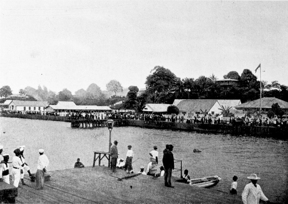
DUALA.
PLATE 2
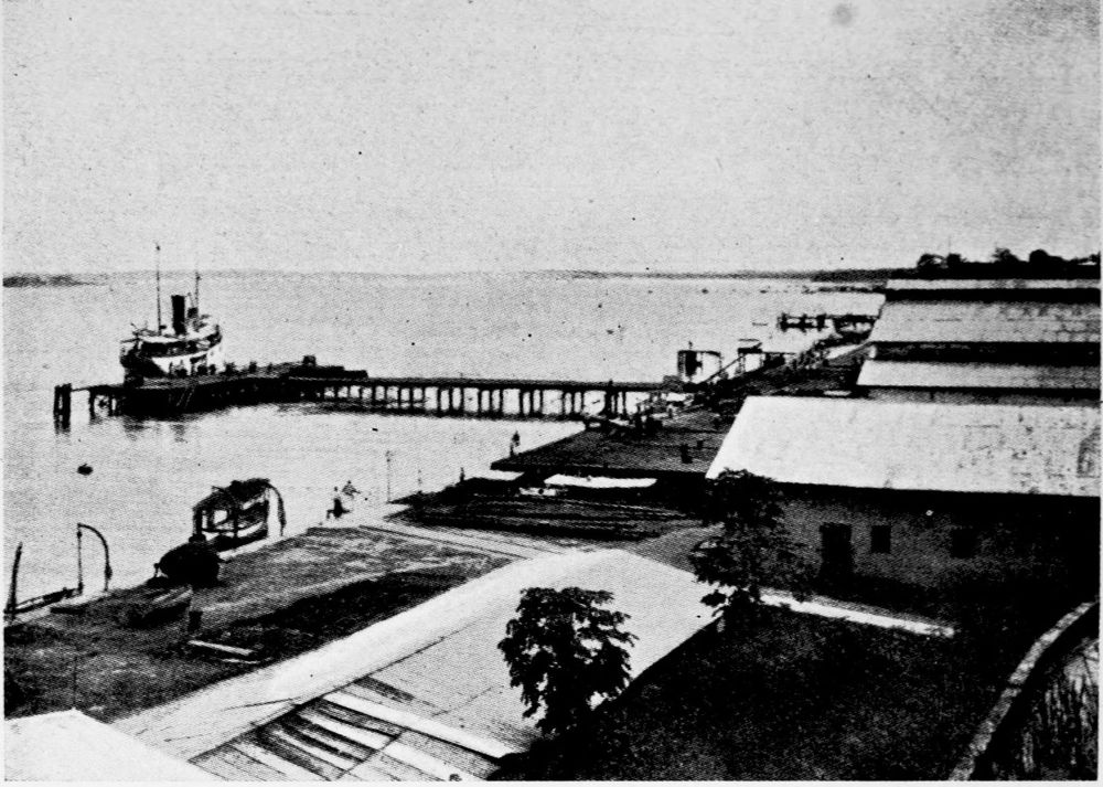
THE QUAY AT DUALA.
PLATE 3
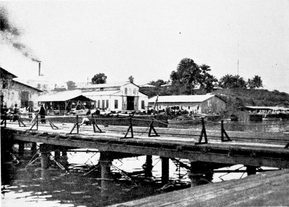
LANDING-PLACE AT DUALA.
PLATE 4
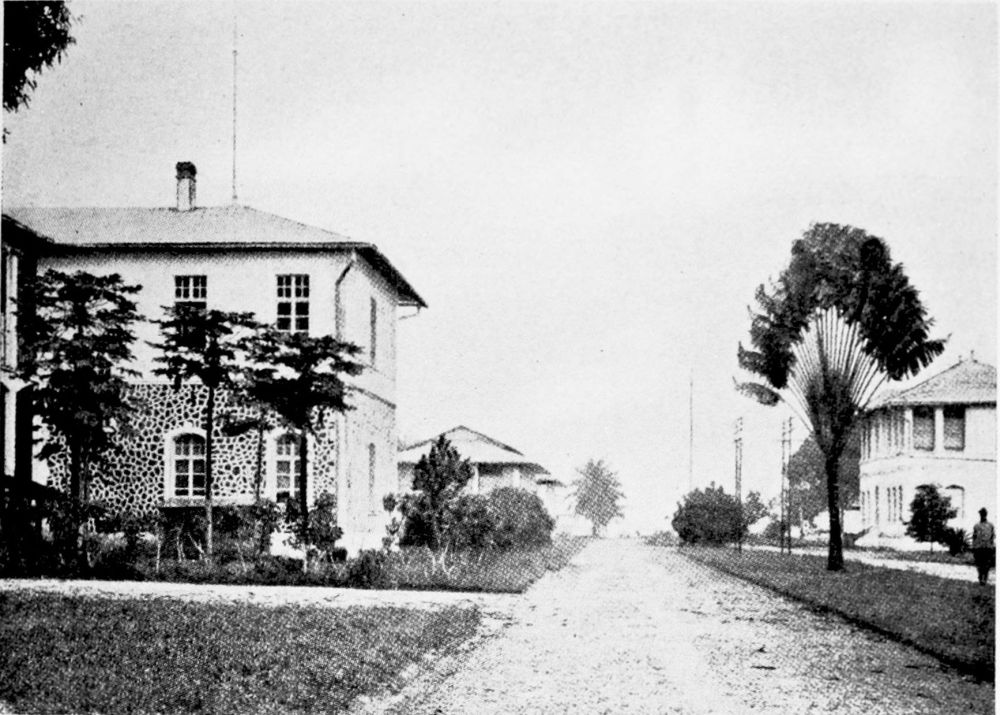
POST OFFICE, DUALA.
PLATE 5
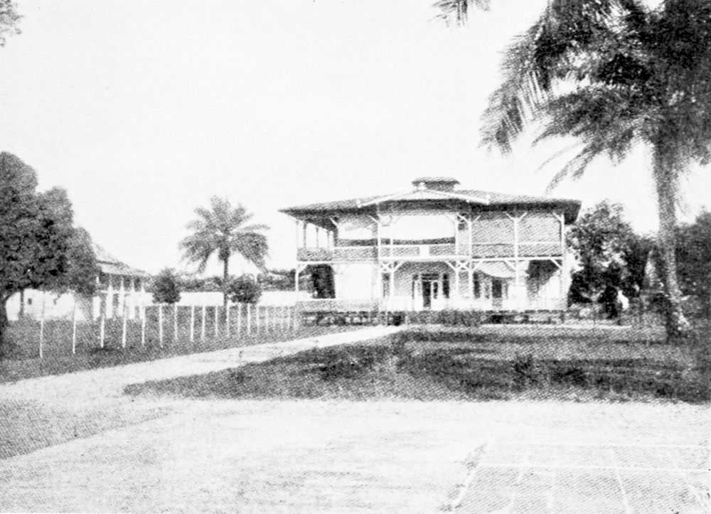
COURT HOUSE AT DUALA.
PLATE 6
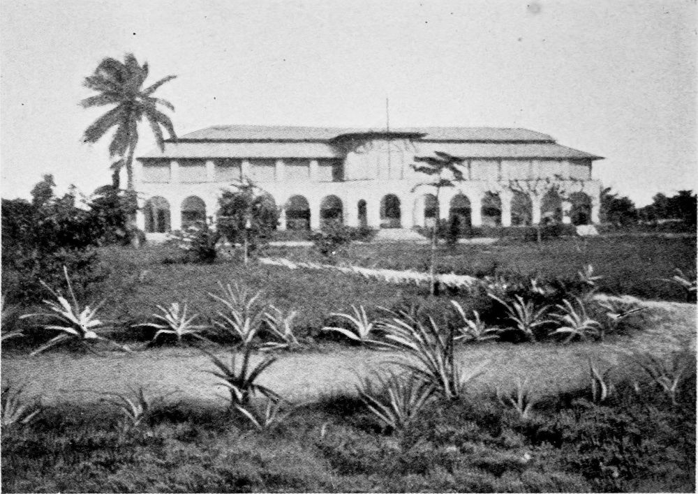
HOSPITAL AT DUALA.
PLATE 7
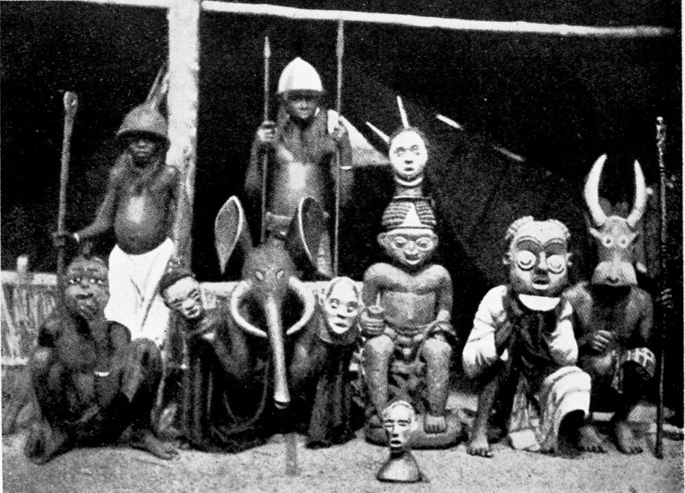
NATIVES’ METAL WORK.
PLATE 8
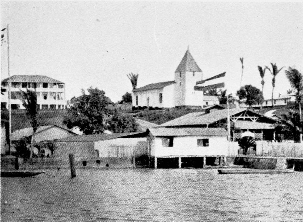
THE BÂLE MISSION AT DUALA.
PLATE 9
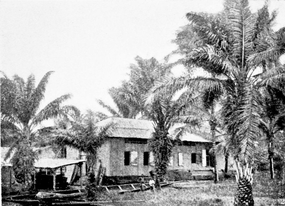
WORKSHOP OF THE BÂLE MISSION, DUALA.
PLATE 10
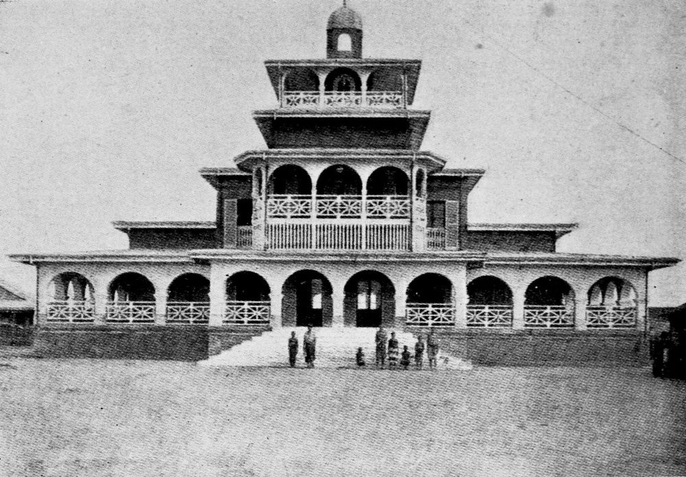
MANGA BELI’S PALACE, DUALA.
PLATE 11
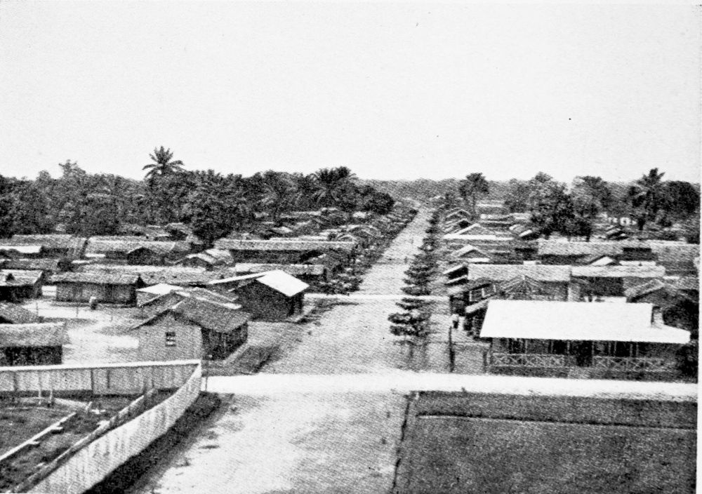
THE NATIVE QUARTER, DUALA.
PLATE 12
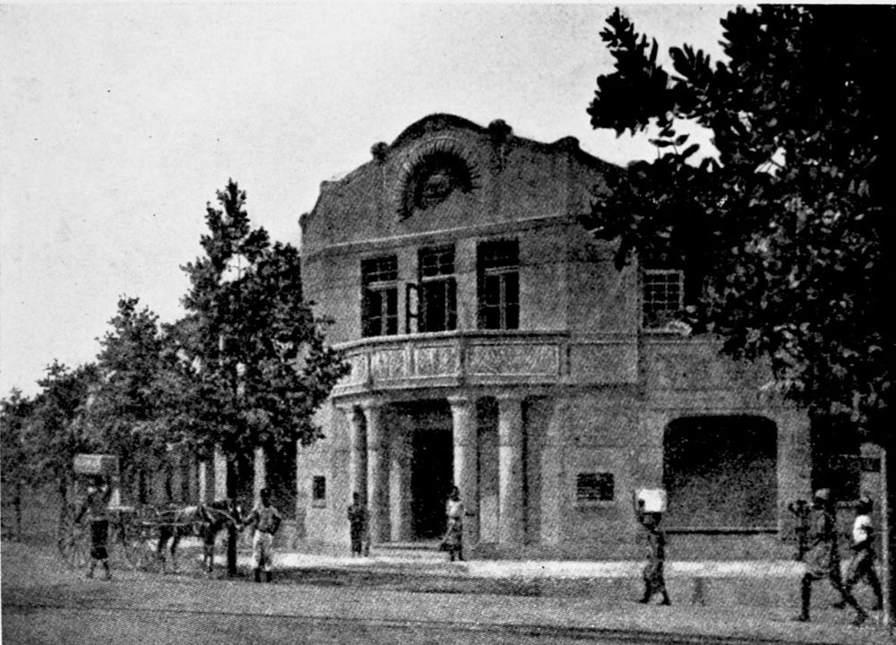
BUSINESS OFFICES IN DUALA.
PLATE 13
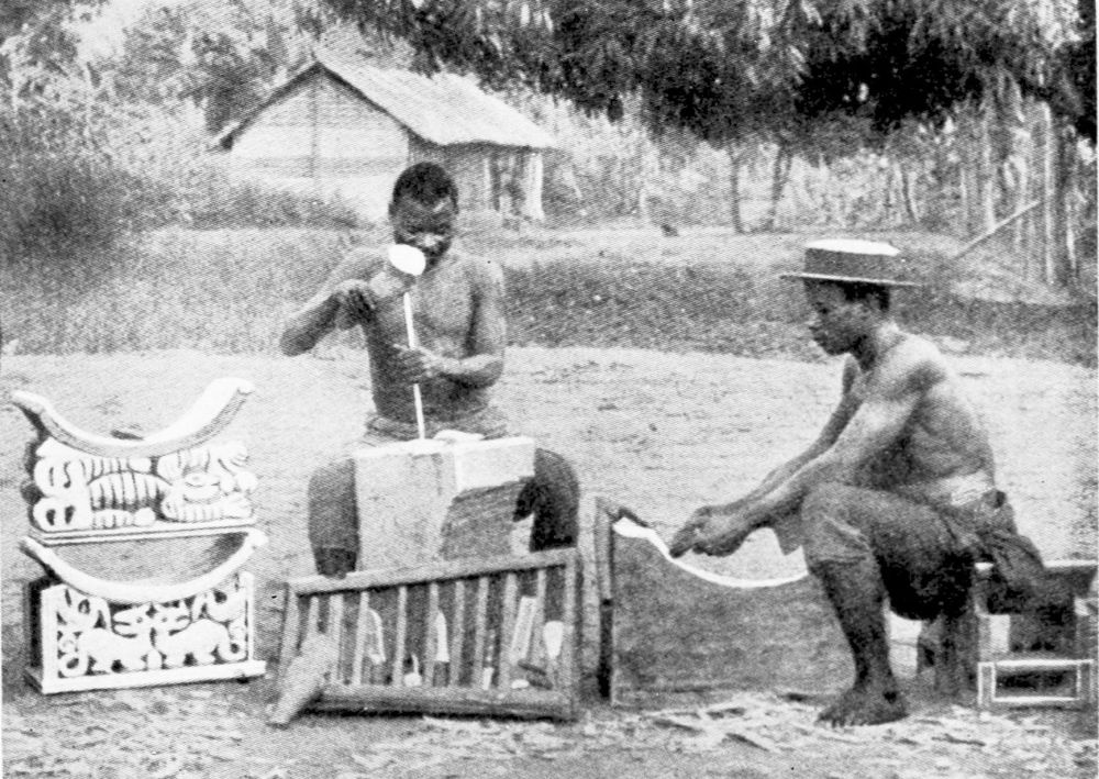
NATIVES WOOD CARVING.
PLATE 14
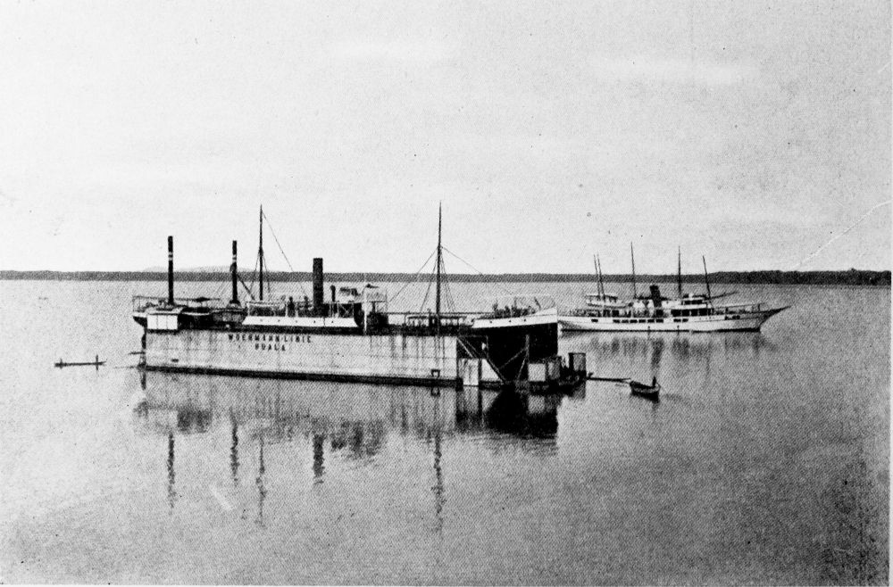
THE WOERMANN FLOATING DOCK AT DUALA.
PLATE 15
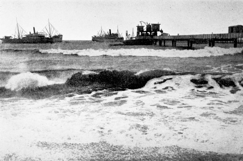
LANDING JETTY.
PLATE 16
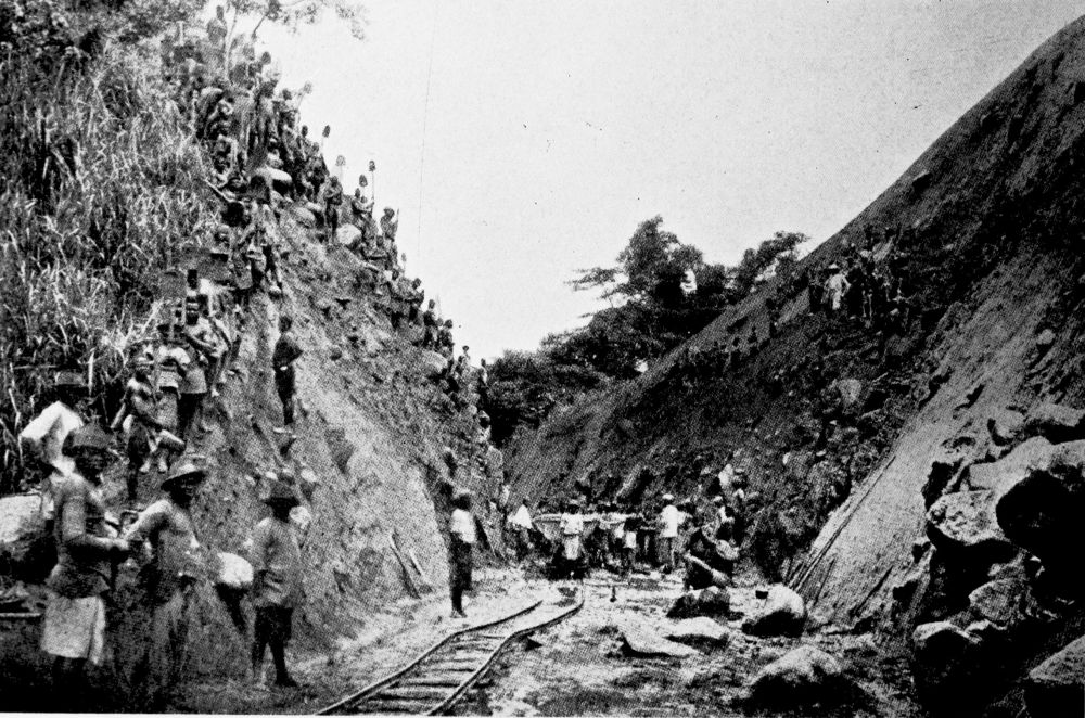
CONSTRUCTING THE CENTRAL RAILWAY FROM DUALA TO THE NYONG RIVER.
PLATE 17
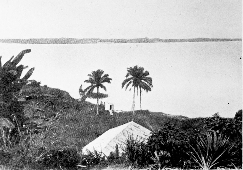
VIEW OF THE WURI RIVER AT BONABERI.
PLATE 18
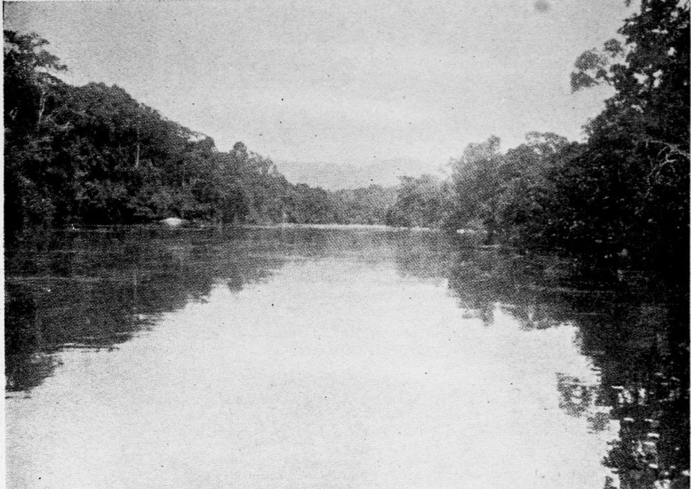
THE WURI RIVER ABOVE DUALA.
PLATE 19
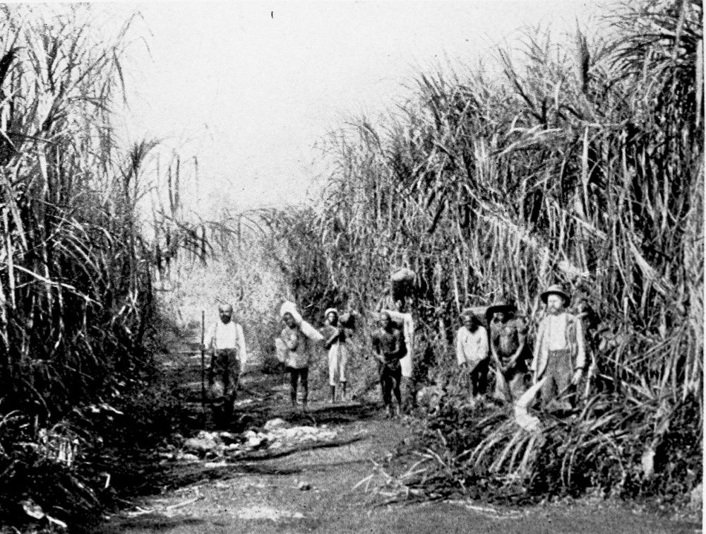
ELEPHANT GRASS.
PLATE 20
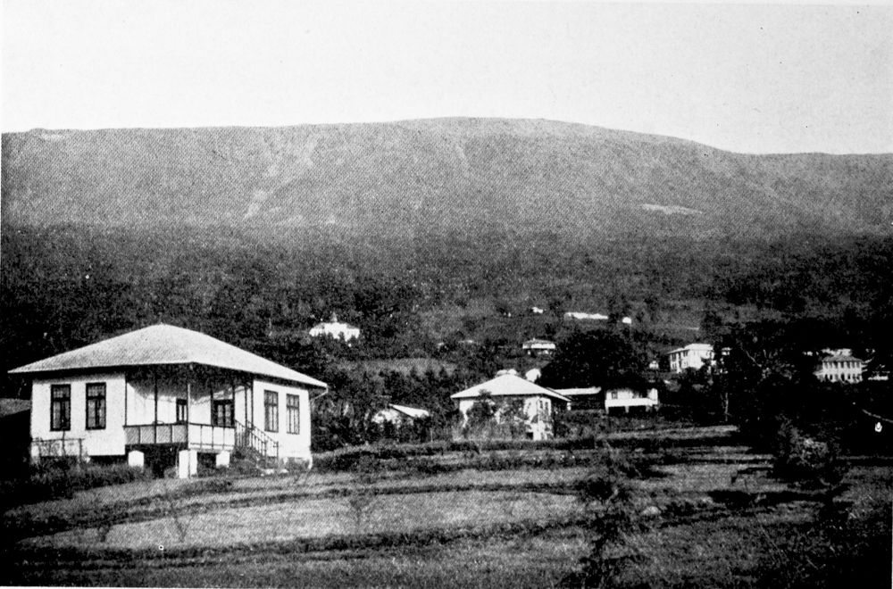
BUEA, FORMER SEAT OF THE GERMAN GOVERNMENT OF CAMEROON. GREAT CAMEROON MOUNTAINS IN THE BACKGROUND.
PLATE 21
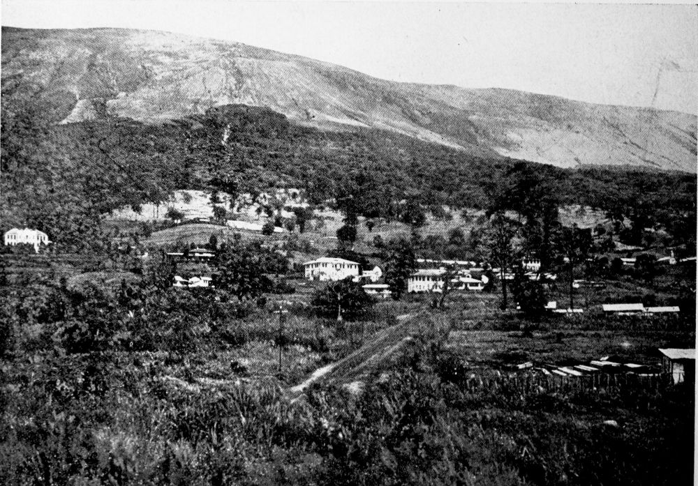
VIEW OF BUEA.
PLATE 22
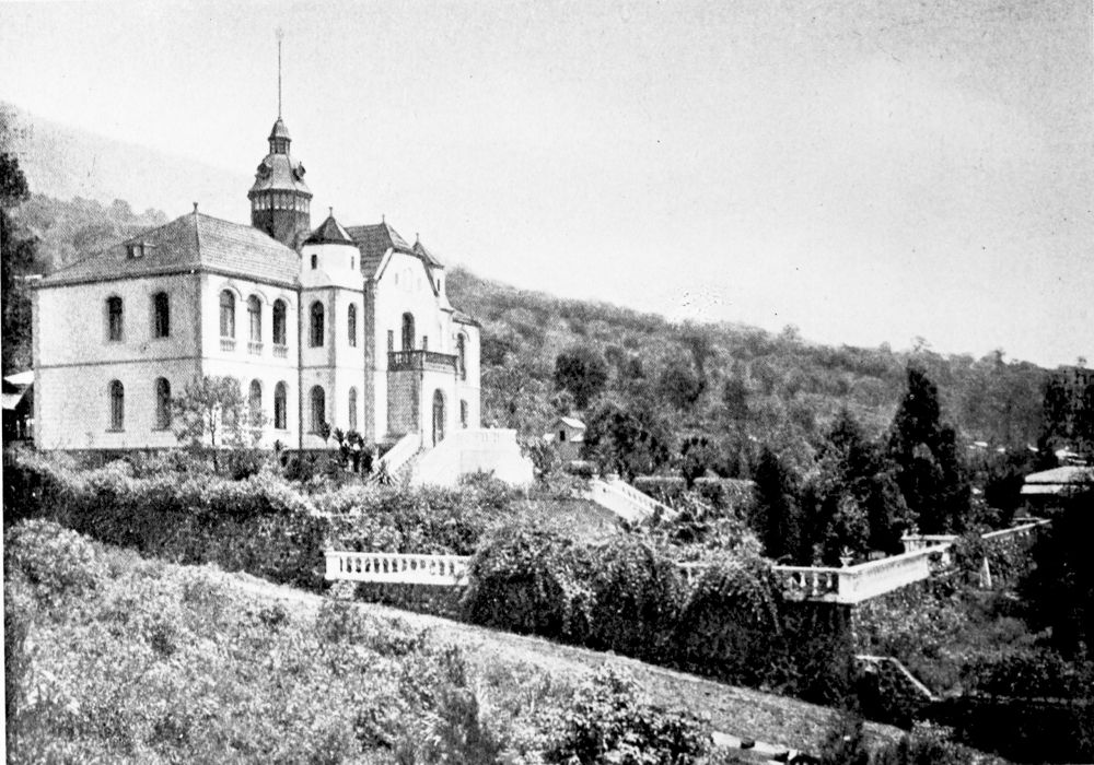
THE LATE GERMAN GOVERNOR’S PALACE, BUEA.
PLATE 23
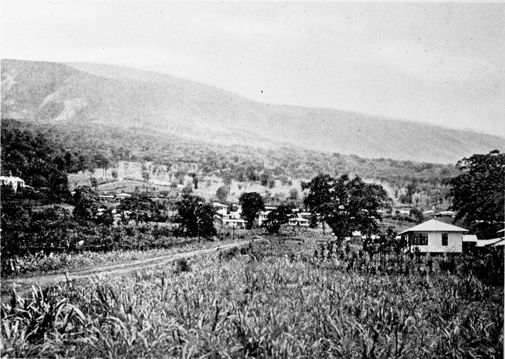
BUEA.
PLATE 24
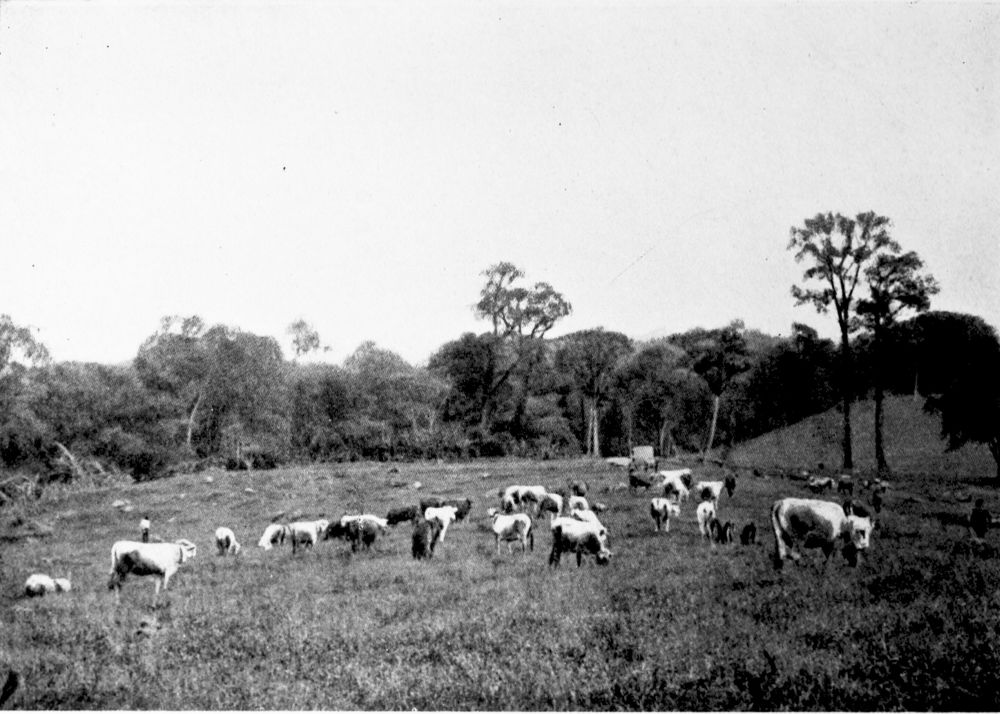
ALGAU CATTLE GRAZING NEAR BUEA.
PLATE 25
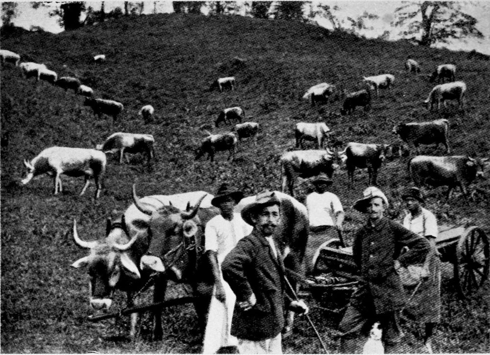
GRAZING LAND NEAR BUEA.
PLATE 26
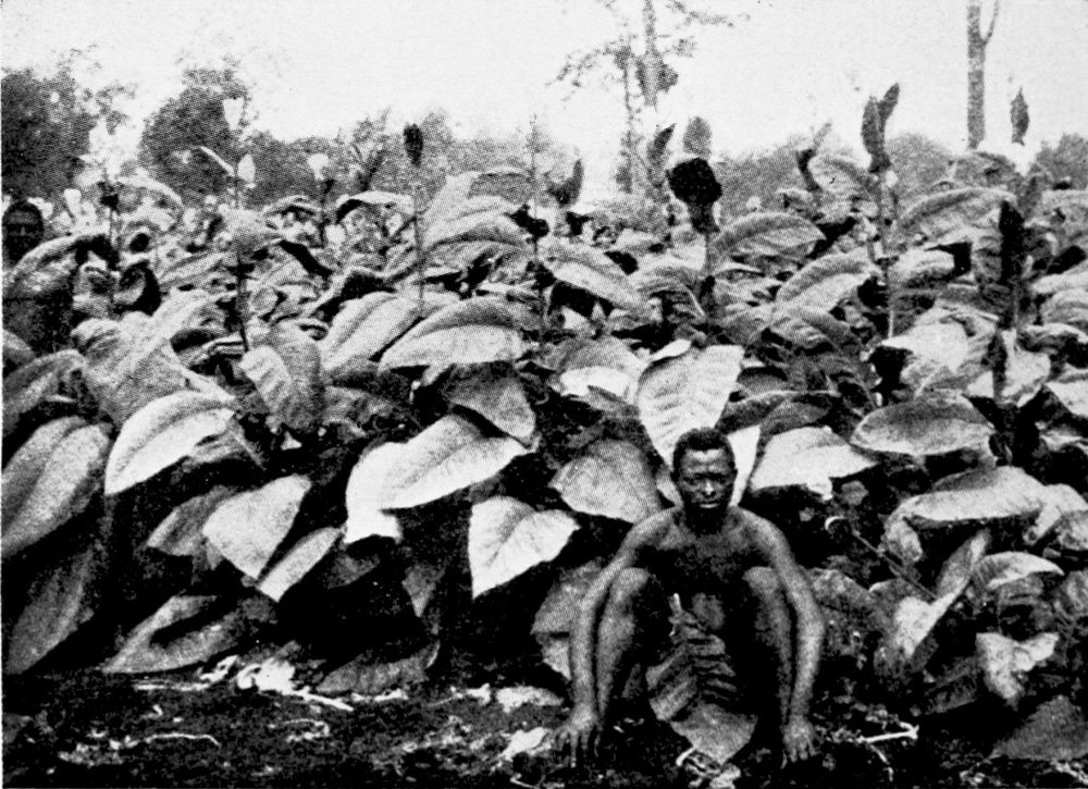
TOBACCO PLANTATION NEAR BUEA.
PLATE 27
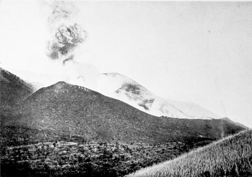
THE NEW OKOTI CRATER ON THE CAMEROON MOUNTAIN TAKEN FROM THE EAST.
PLATE 28
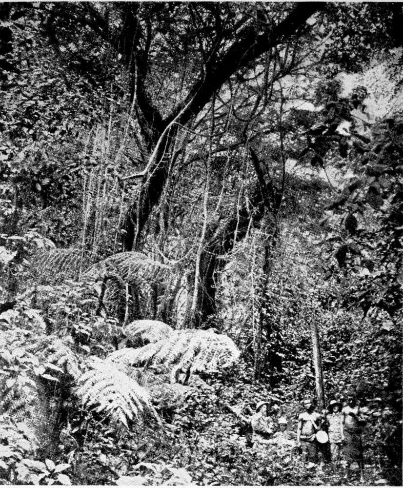
FOREST ON THE CAMEROON PEAK, AT AN ELEVATION OF 1,800 METRES.
PLATE 29
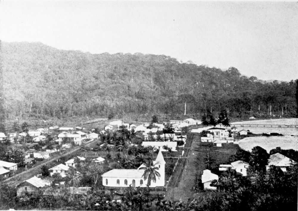
VIEW OF VICTORIA.
PLATE 30
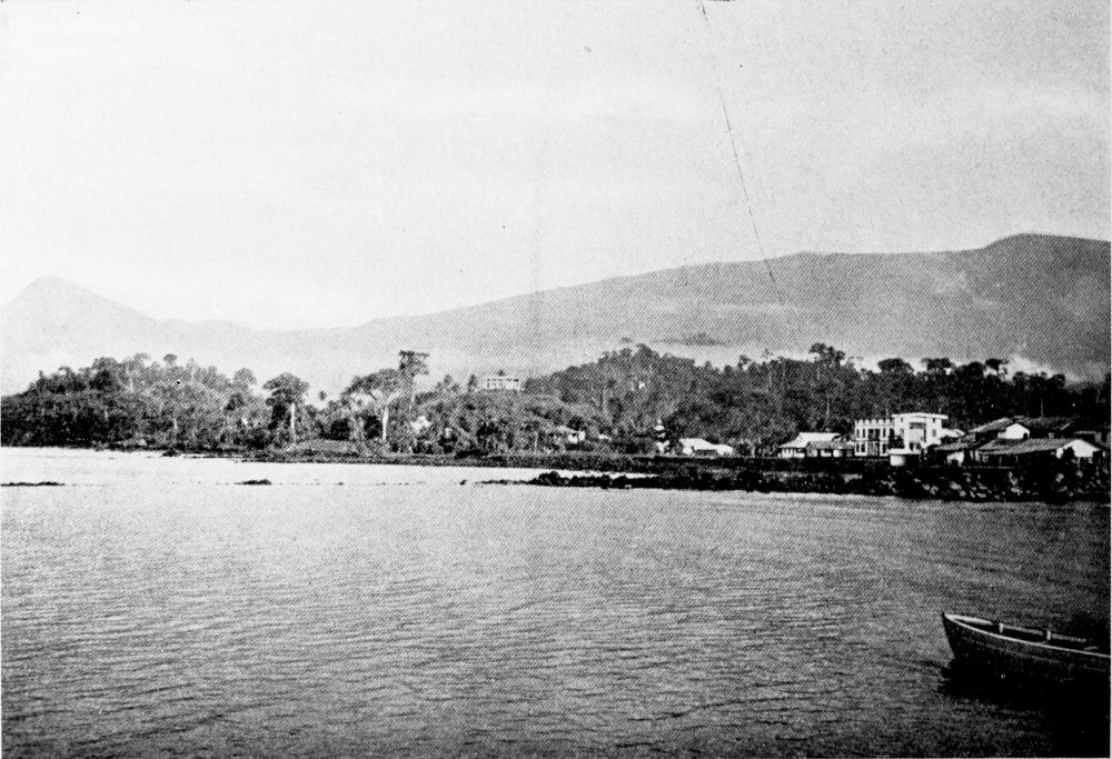
VICTORIA, WITH THE GREAT CAMEROON MOUNTAIN AND LITTLE CAMEROON MOUNTAIN.
PLATE 31
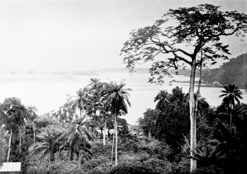
VIEW OF AMBAS BAY.
PLATE 32
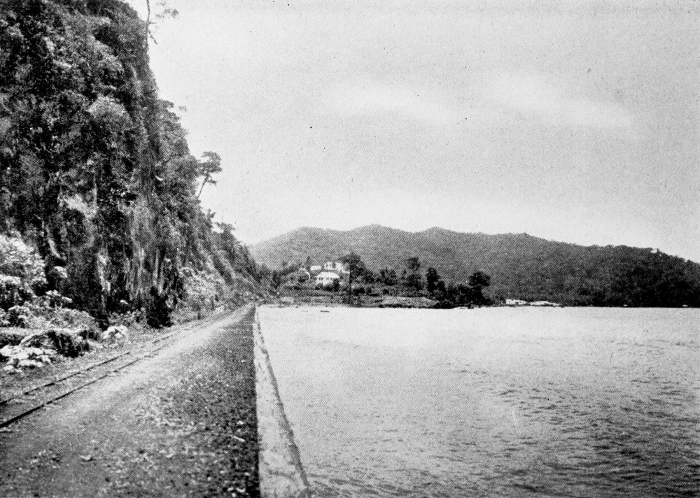
STEEP COAST NEAR VICTORIA.
PLATE 33
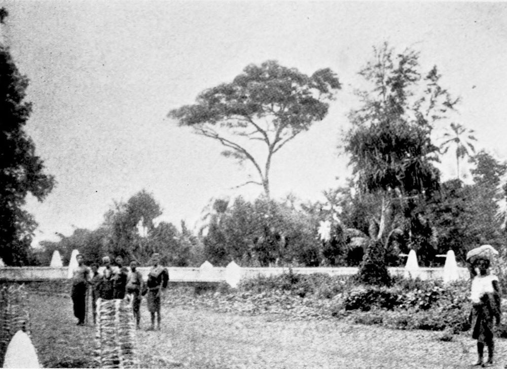
BOTANICAL GARDENS, VICTORIA.
PLATE 34
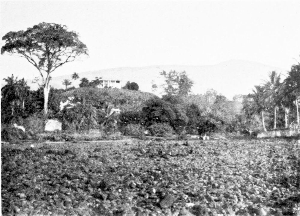
OFFICE IN THE BOTANICAL GARDENS, VICTORIA.
PLATE 35
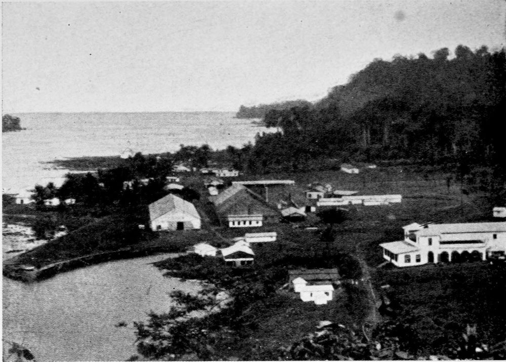
BUILDINGS OF THE VICTORIA CO., VICTORIA.
PLATE 36
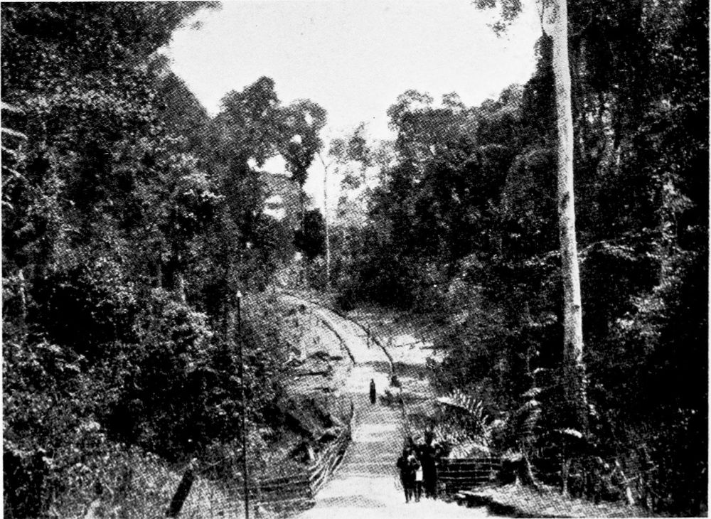
VEGETATION IN THE FOREST.
PLATE 37
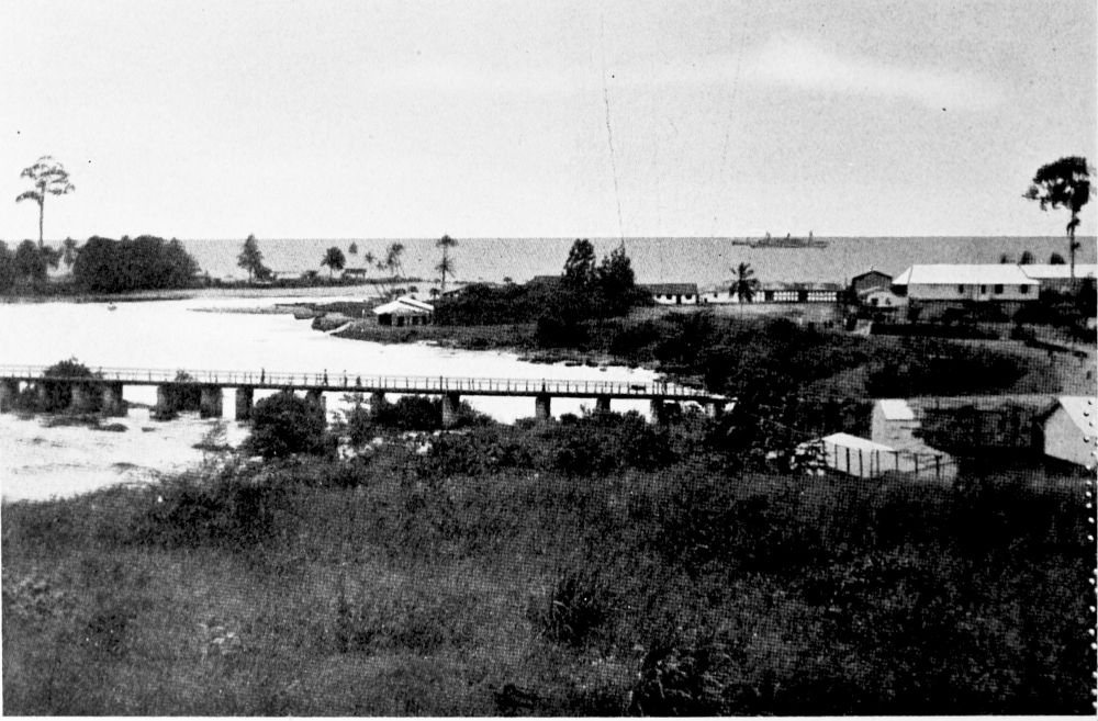
KRIBI, AT THE MOUTH OF THE KRIBI RIVER, THE CHIEF TRADING-PLACE ON THE COAST OF SOUTH CAMEROON.
PLATE 38
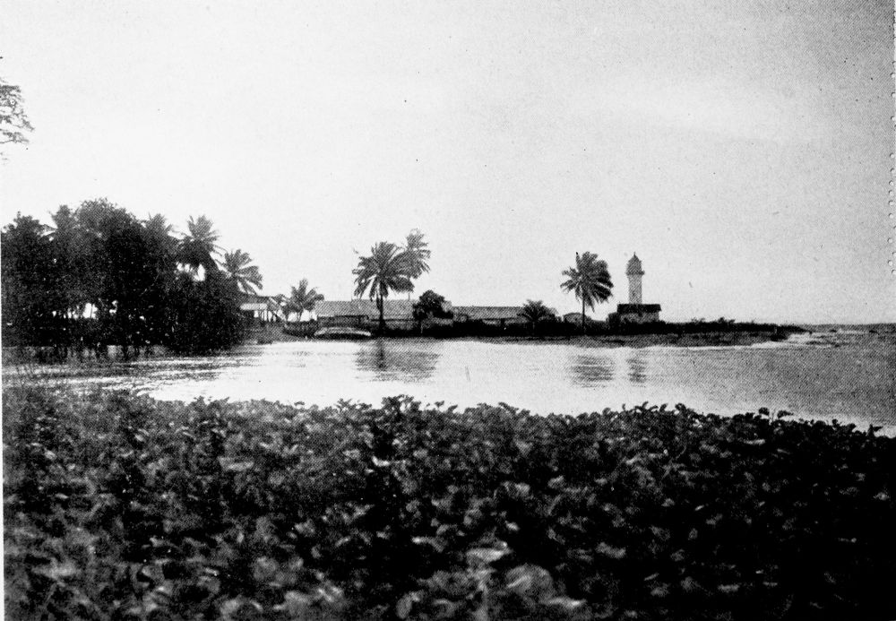
KRIBI.
PLATE 39
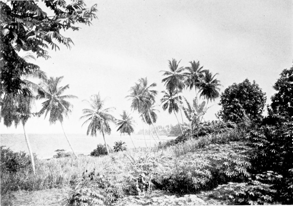
LOW-LYING COAST NEAR KRIBI.
PLATE 40
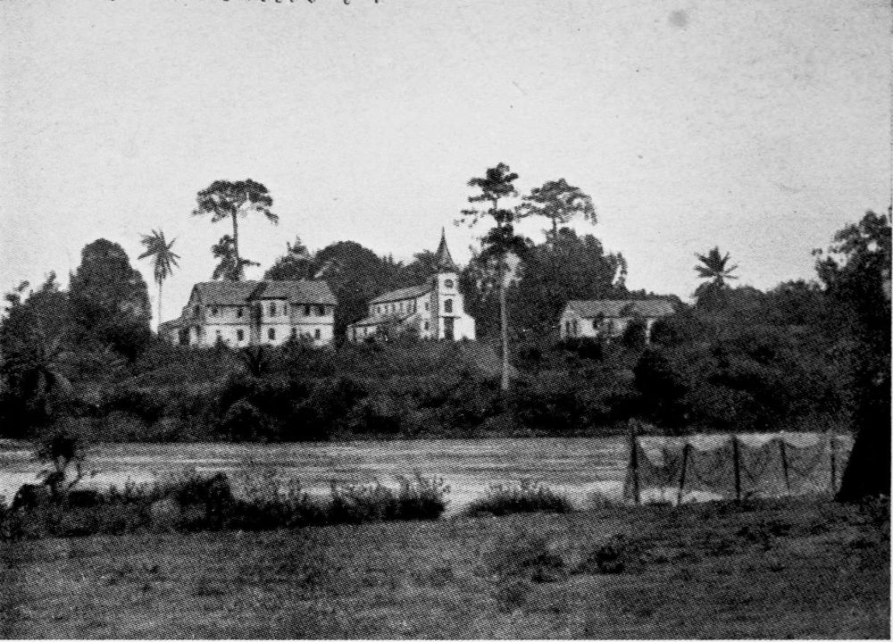
MISSION HOUSE AT KRIBI.
PLATE 41
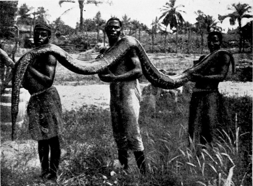
BOA-CONSTRICTOR.
PLATE 42
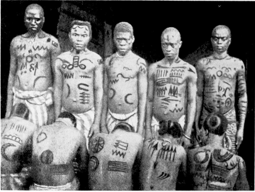
NATIVES OF BULE.
PLATE 43
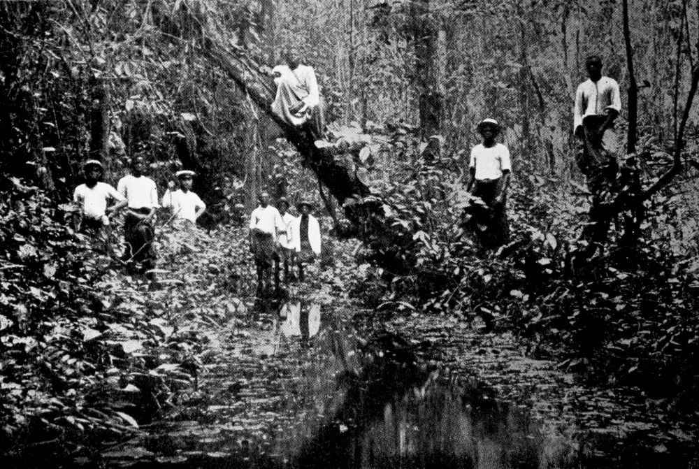
MARSHY LAND IN THE OIL-PALM REGION NEAR THE COAST.
PLATE 44
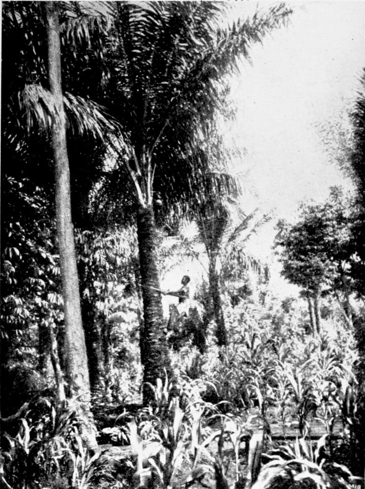
OIL-PALM IN A MAIZE FIELD.
PLATE 45
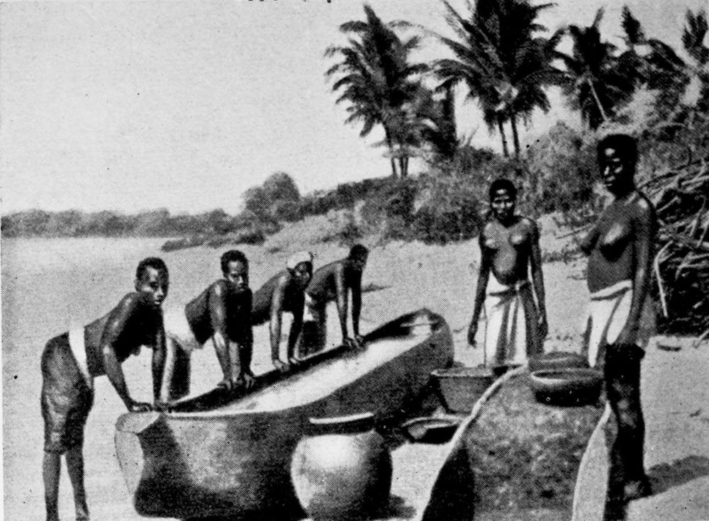
PREPARATION OF PALM-OIL BY NATIVE METHODS.
PLATE 46
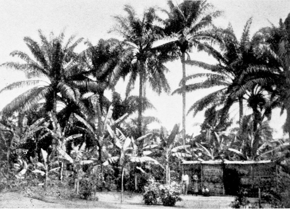
OIL-PALMS.
PLATE 47
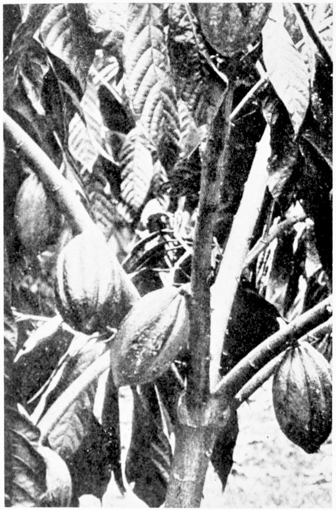
COCOA TREE WITH FRUIT.
PLATE 48
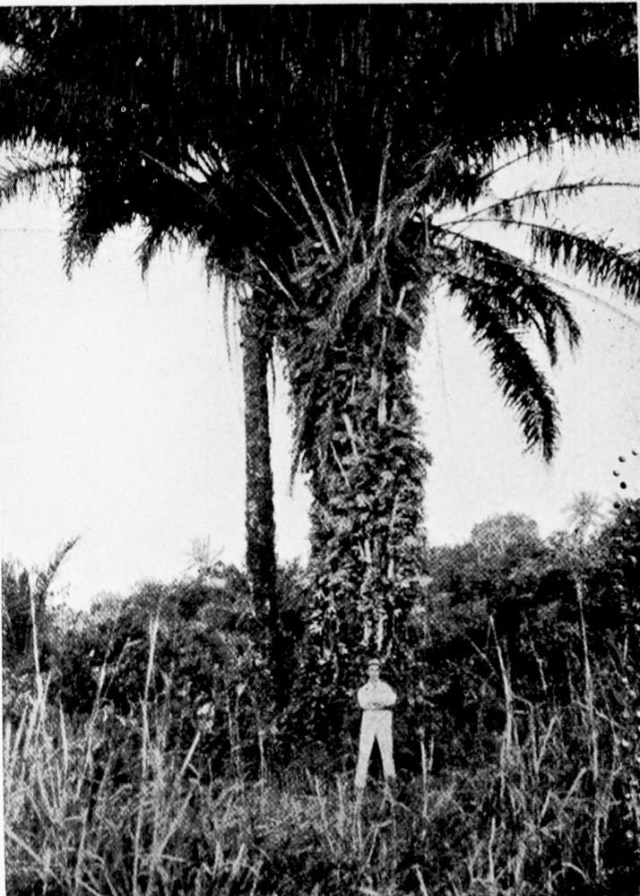
SEVEN-YEAR-OLD OIL-PALM TREES.
PLATE 49
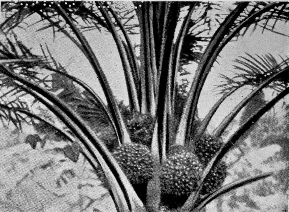
THE OIL-PALM. CROWN WITH CLUSTERS OF FRUIT.
PLATE 50
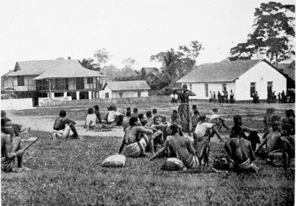
STATION YARD AT EDEA.
PLATE 51
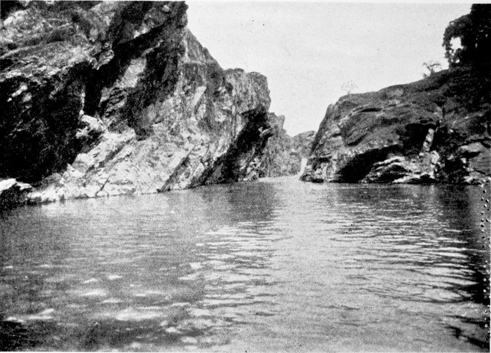
THE SANAGA RIVER NEAR EDEA.
PLATE 52
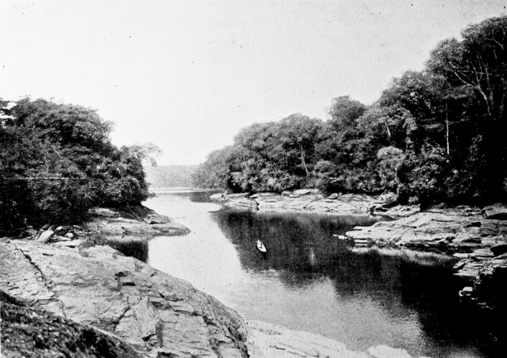
THE SANAGA RIVER NEAR EDEA.
PLATE 53
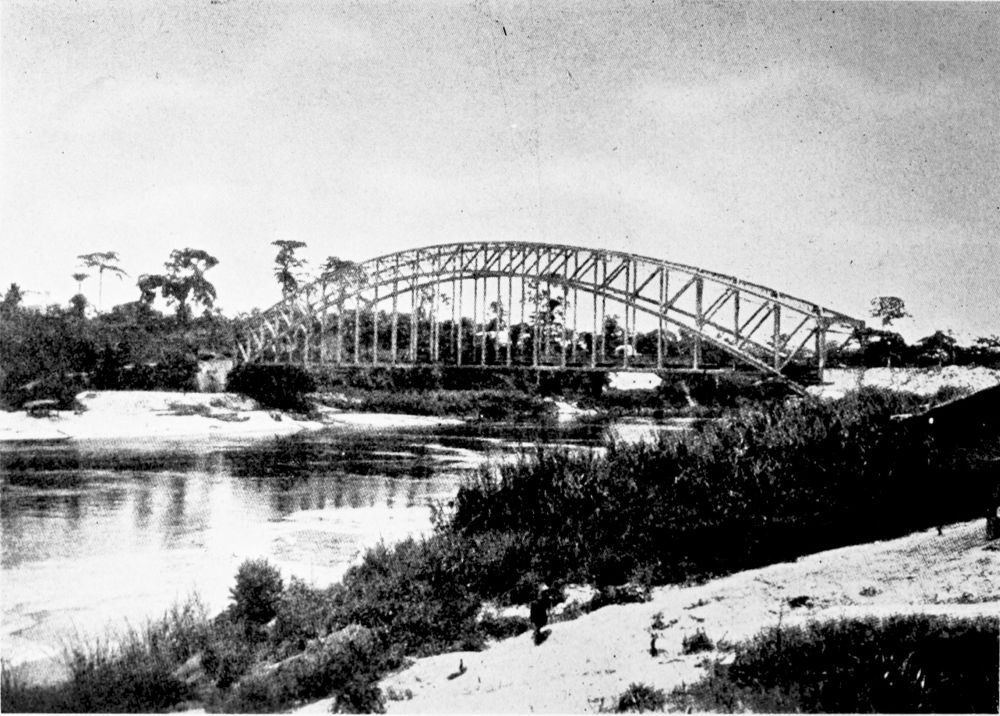
BRIDGE OVER THE SOUTHERN ARM OF THE SANAGA RIVER (DUALA-NYONG RAILWAY).
PLATE 54
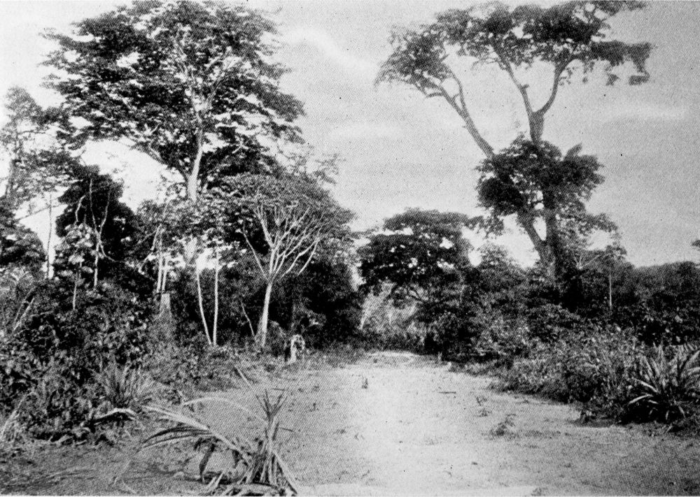
ENTRANCE TO THE FOREST NEAR EDEA.
PLATE 55
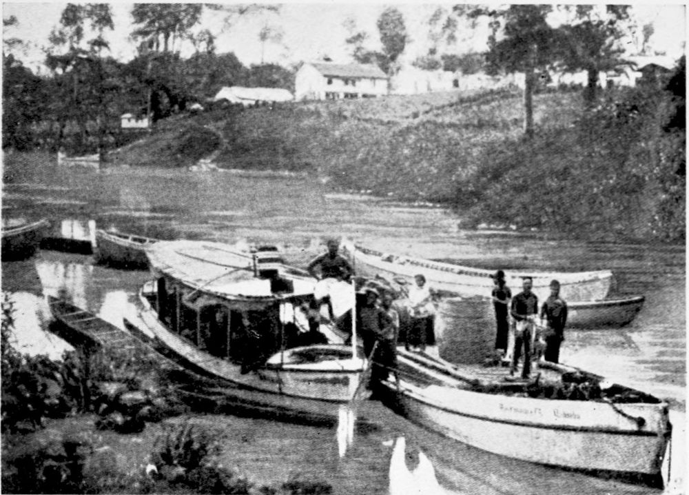
WOERMANN LINE BOATS ON THE SANAGA RIVER.
PLATE 56
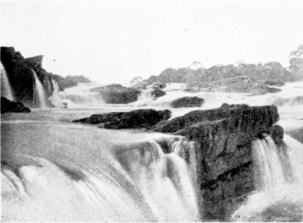
RAPIDS IN THE SANAGA RIVER.
PLATE 57
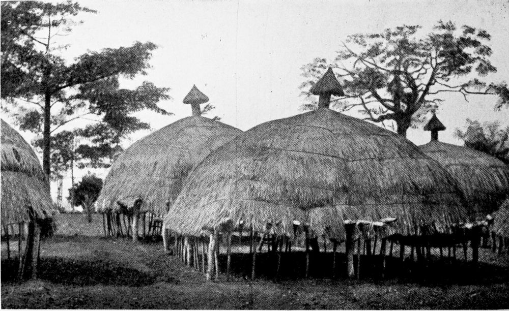
MAIZE STORES AT JAUNDE.
PLATE 58
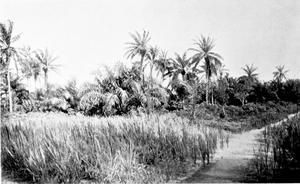
PARK-LIKE DISTRICT IN A CLEARING OF THE FOREST ON THE EDEA-JAUNDE ROAD.
PLATE 59
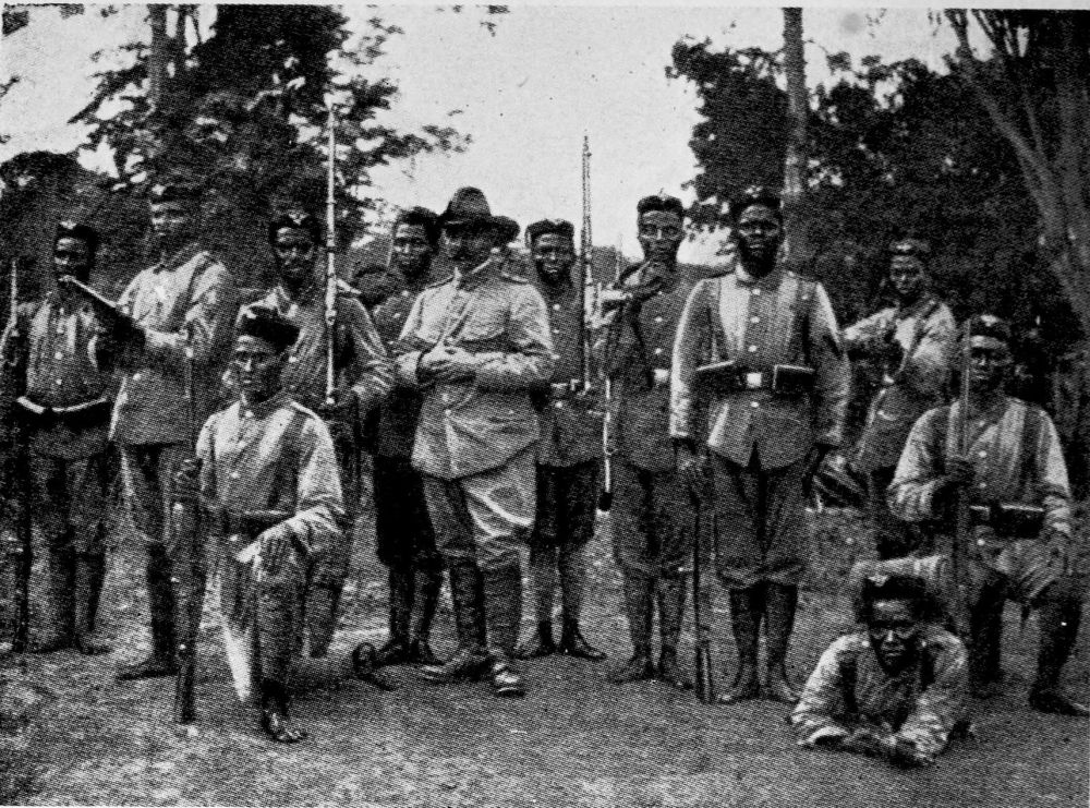
NATIVE SOLDIERS AT JAUNDE.
PLATE 60
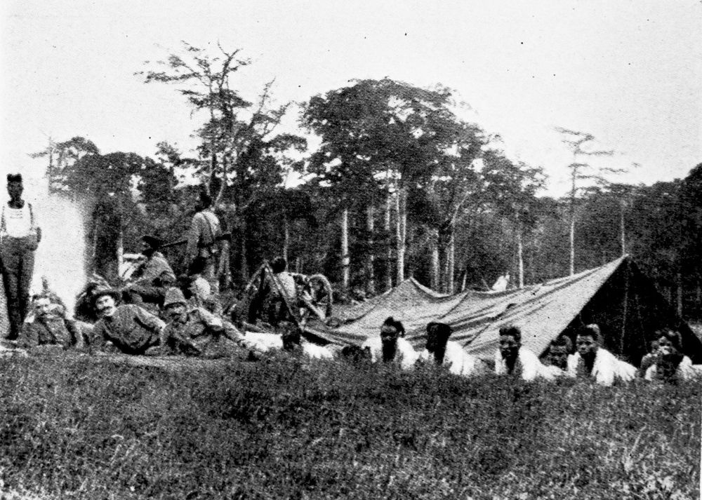
NATIVE TROOPS IN CAMP.
PLATE 61
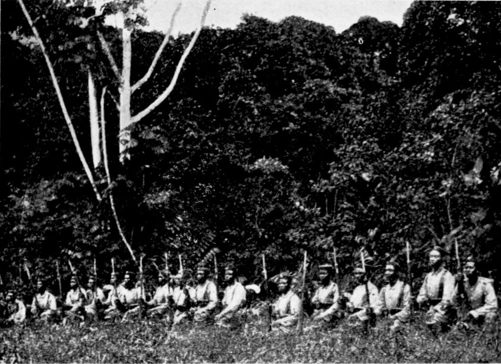
NATIVE TROOPS ON ACTIVE SERVICE.
PLATE 62
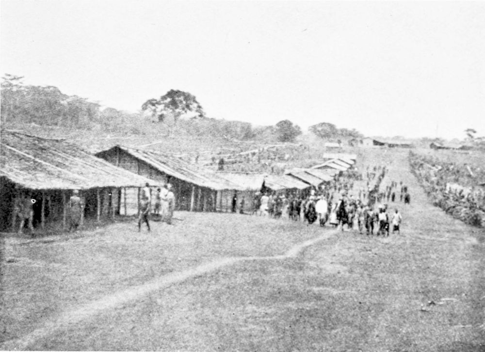
NATIVE VILLAGE. GABLED HUTS.
PLATE 63
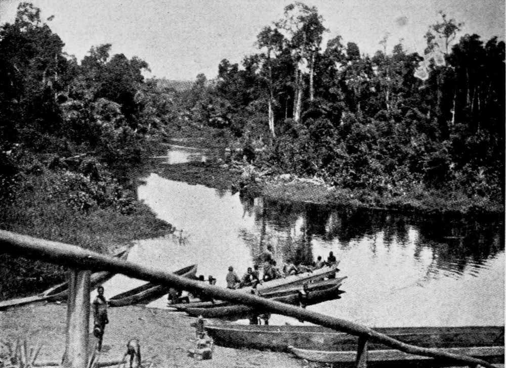
ON THE UPPER NYONG RIVER.
PLATE 64
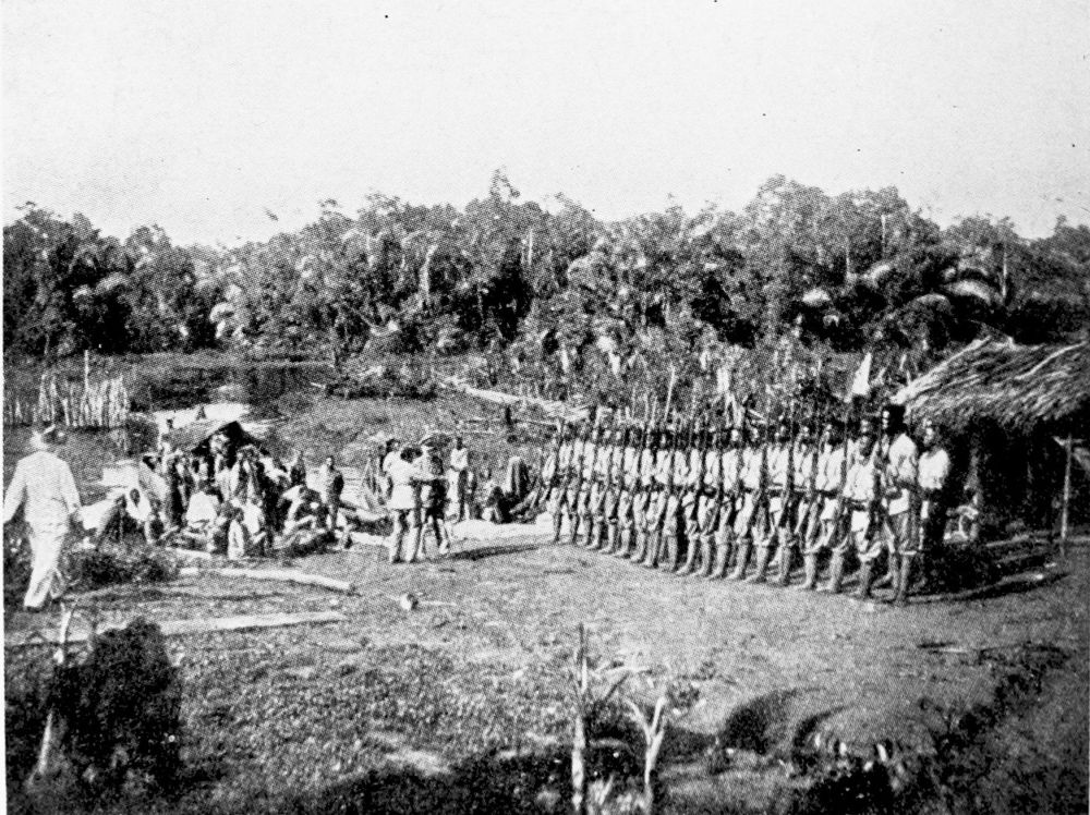
COLONIAL TROOPS AT A FACTORY ON THE UPPER NYONG RIVER.
PLATE 65
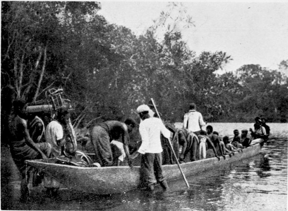
FERRY BOAT ON THE NYONG RIVER.
PLATE 66
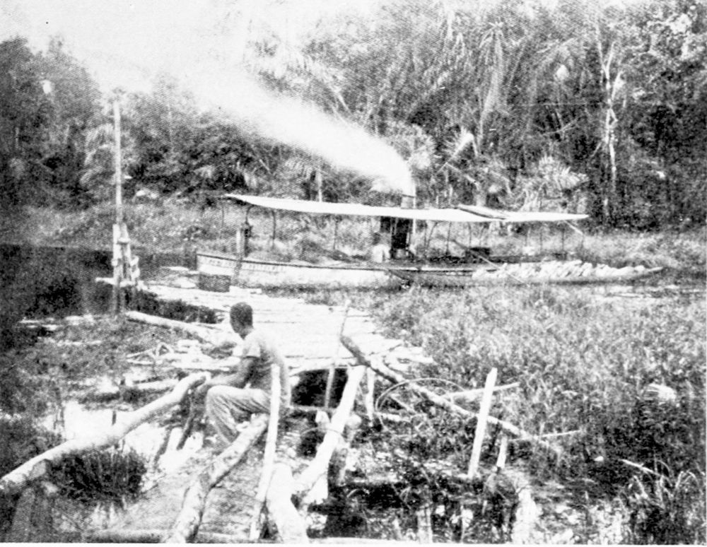
STEAMER AT THE LANDING-PLACE OF A FACTORY ON THE NYONG RIVER.
PLATE 67
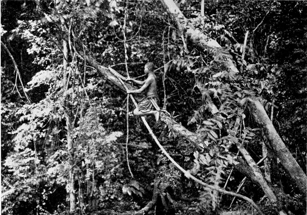
COLLECTING RUBBER IN THE FOREST.
PLATE 68
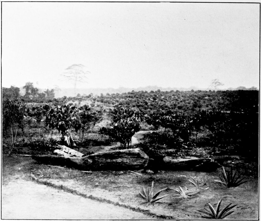
DEHANE RUBBER PLANTATION (NYONG RIVER).
PLATE 69
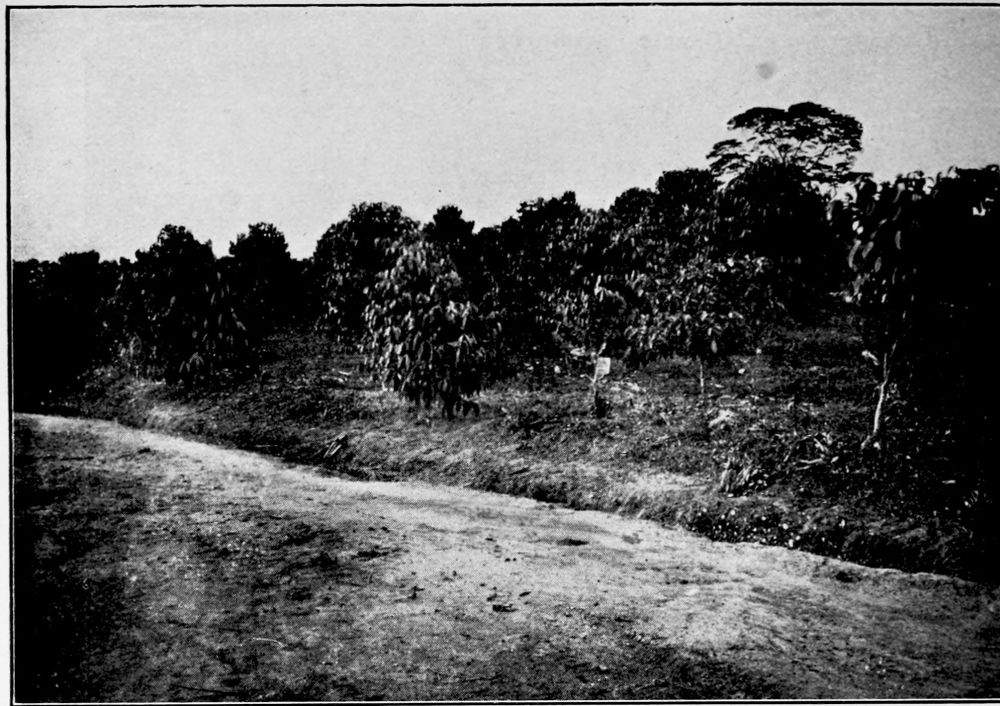
DEHANE RUBBER PLANTATION (NYONG RIVER).
PLATE 70
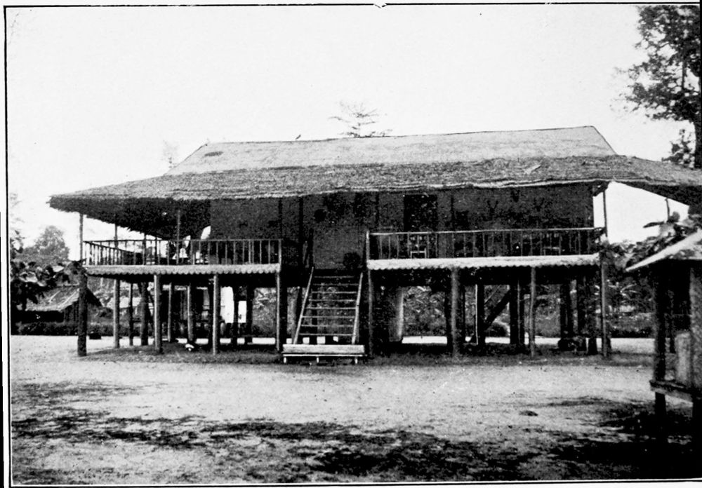
MANAGER’S HOUSE ON THE DEHANE RUBBER PLANTATION.
PLATE 71
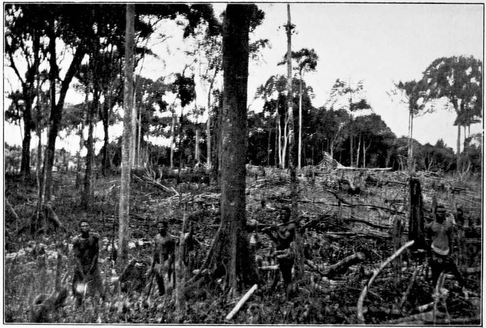
CLEARING THE GROUND FOR PLANTING RUBBER TREES.
PLATE 72
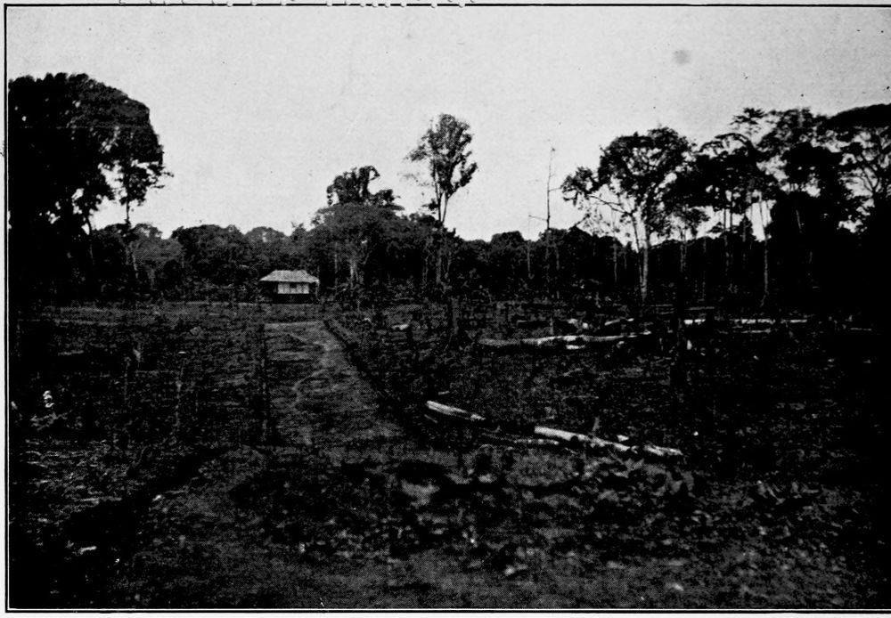
GROUND CLEARED FOR PLANTING.
PLATE 73
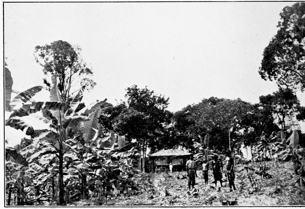
MIXED TREES IN A PLANTATION.
PLATE 74
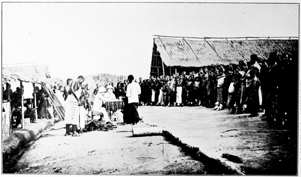
PAY DAY ON A RUBBER PLANTATION.
PLATE 75
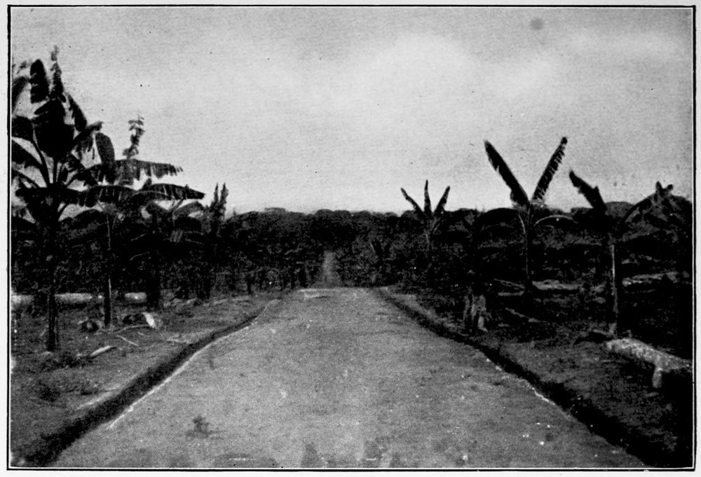
A PATH THROUGH THE DEHANE PLANTATION ON THE NYONG RIVER.
PLATE 76
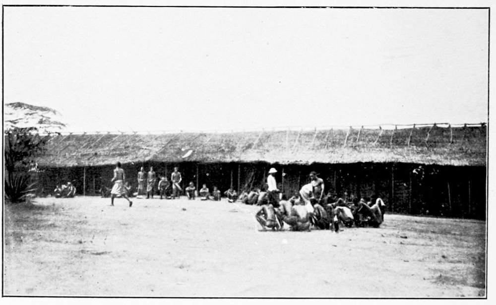
NATIVES WAITING FOR THE DINNER BELL.
PLATE 77
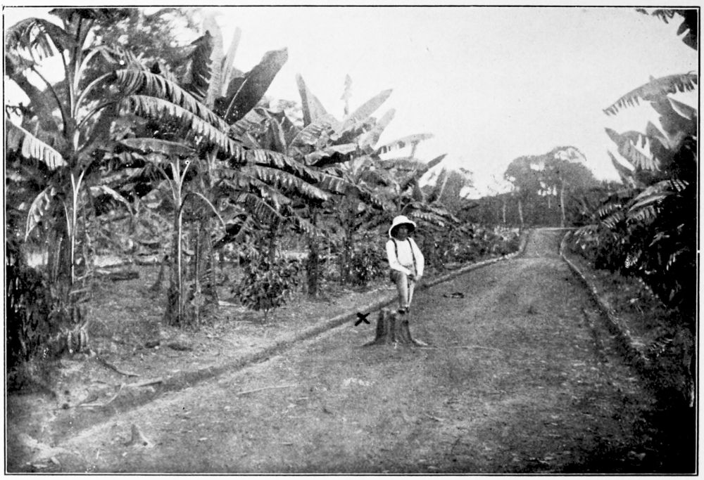
BANANA TREES ON A RUBBER PLANTATION.
PLATE 78
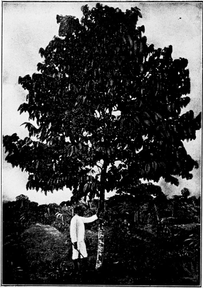
A FOUR-YEAR-OLD RUBBER TREE READY FOR TAPPING.
PLATE 79
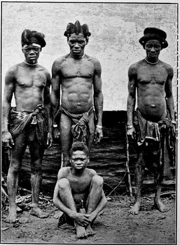
NATIVES AT DEHANE.
PLATE 80
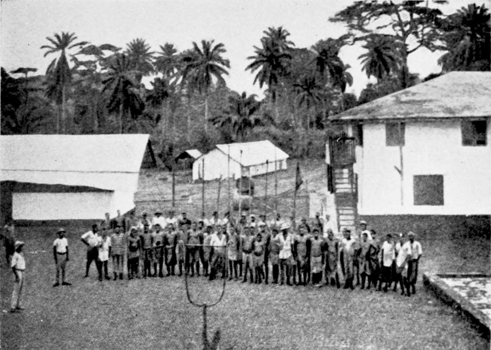
ROLL CALL OF LABOURERS ON A PLANTATION.
PLATE 81
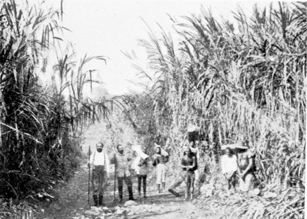
ELEPHANT GRASS.
PLATE 82
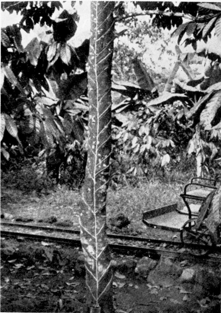
TAPPING THE RUBBER TREE.
PLATE 83
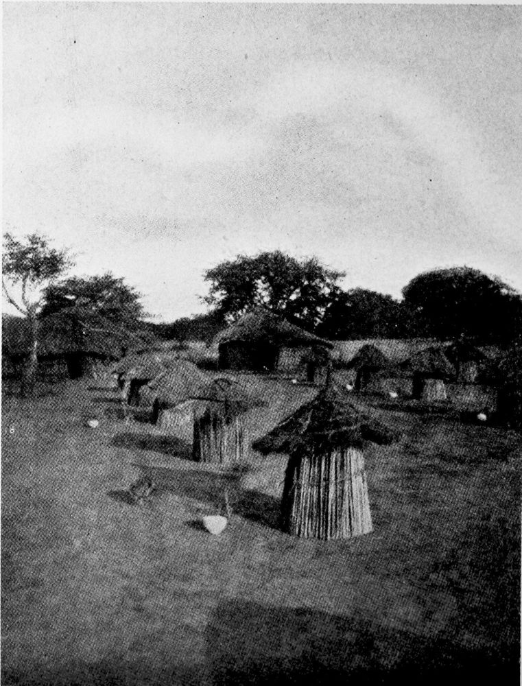
SMALL HUTS FOR PATIENTS SUFFERING FROM SLEEPING SICKNESS.
PLATE 84
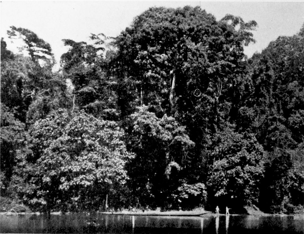
FOREST ON THE BANKS OF THE MUNGO RIVER.
PLATE 85
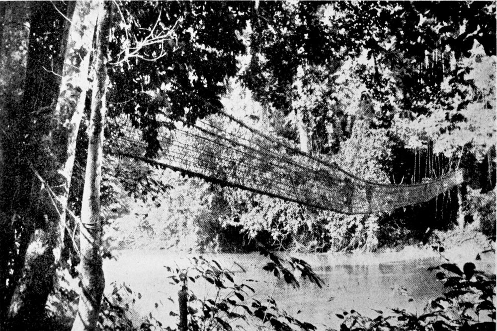
NATIVE SUSPENSION BRIDGE OVER THE MUNGO RIVER.
PLATE 86
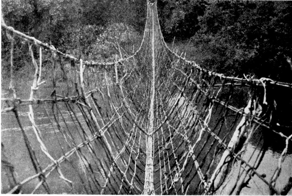
NATIVE SUSPENSION BRIDGE OVER THE MUNGO RIVER.
PLATE 87
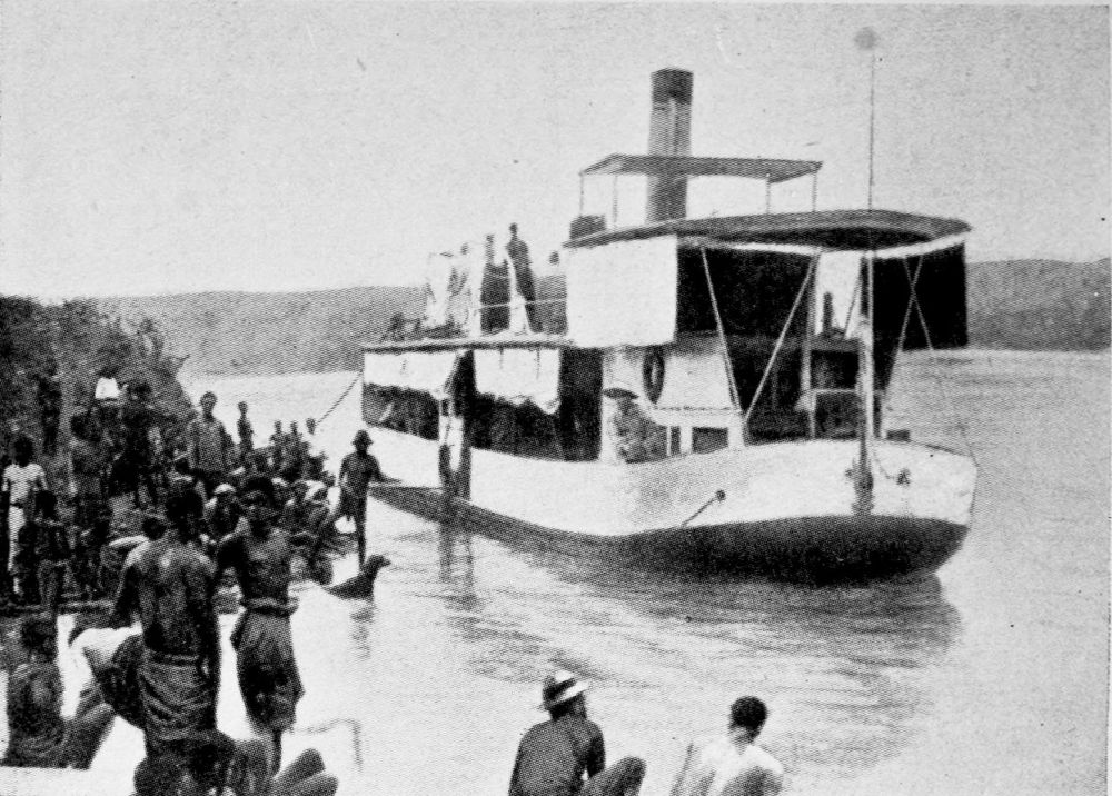
THE “MUNGO” GERMAN GOVERNMENT STEAMER ON THE RIVER.
PLATE 88
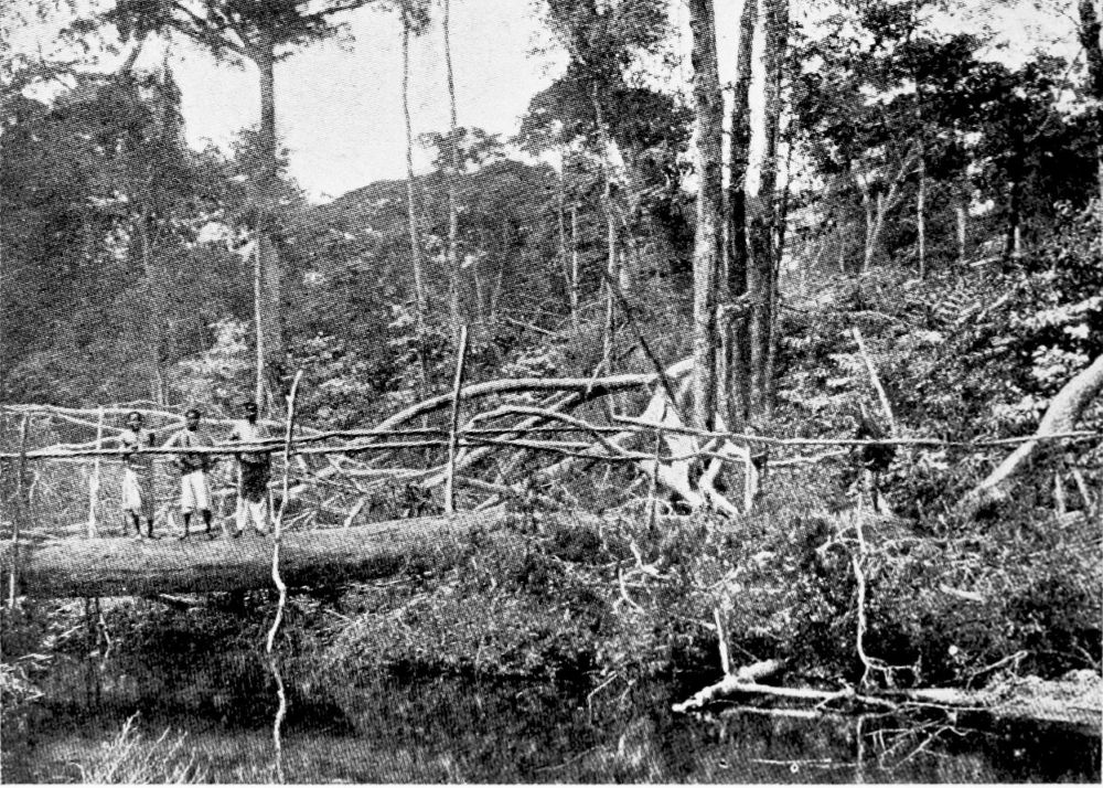
A TREE TRUNK USED AS A BRIDGE.
PLATE 89
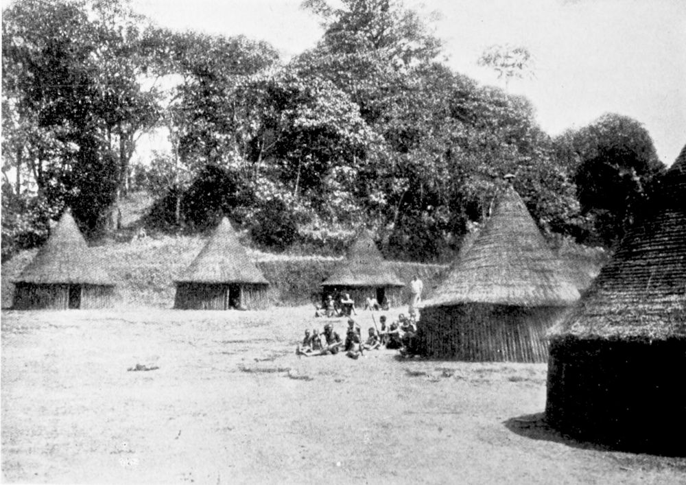
VILLAGE OF NINONG AT THE WESTERN BASE OF THE MANENGUBA MOUNTAINS.
PLATE 90
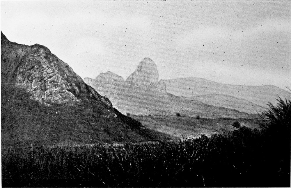
THE ELONG MOUNTAIN IN THE BAMENDA RANGE SEEN FROM THE FOOT OF THE MANENGUBA MOUNTAINS.
PLATE 91
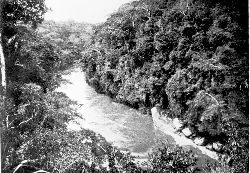
FOREST ON THE BANKS OF THE CROSS RIVER.
PLATE 92
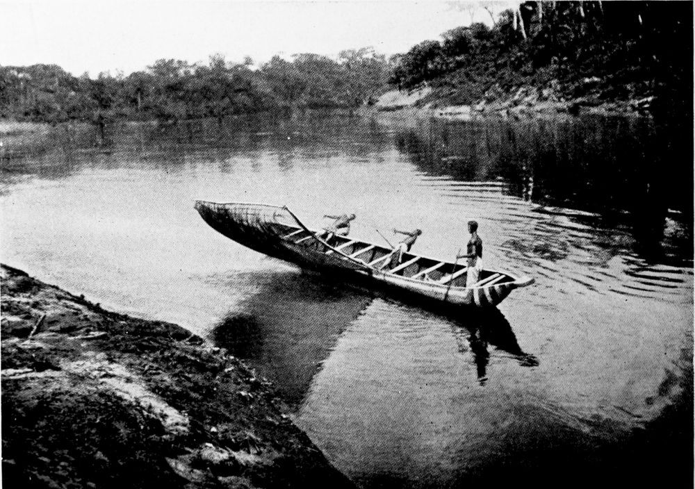
FISHING ON THE CROSS RIVER.
PLATE 93
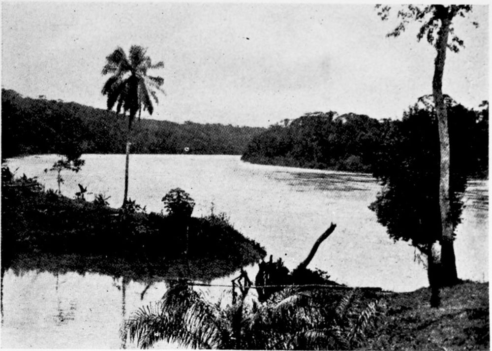
THE CROSS RIVER AT NSSANAKANG.
PLATE 94
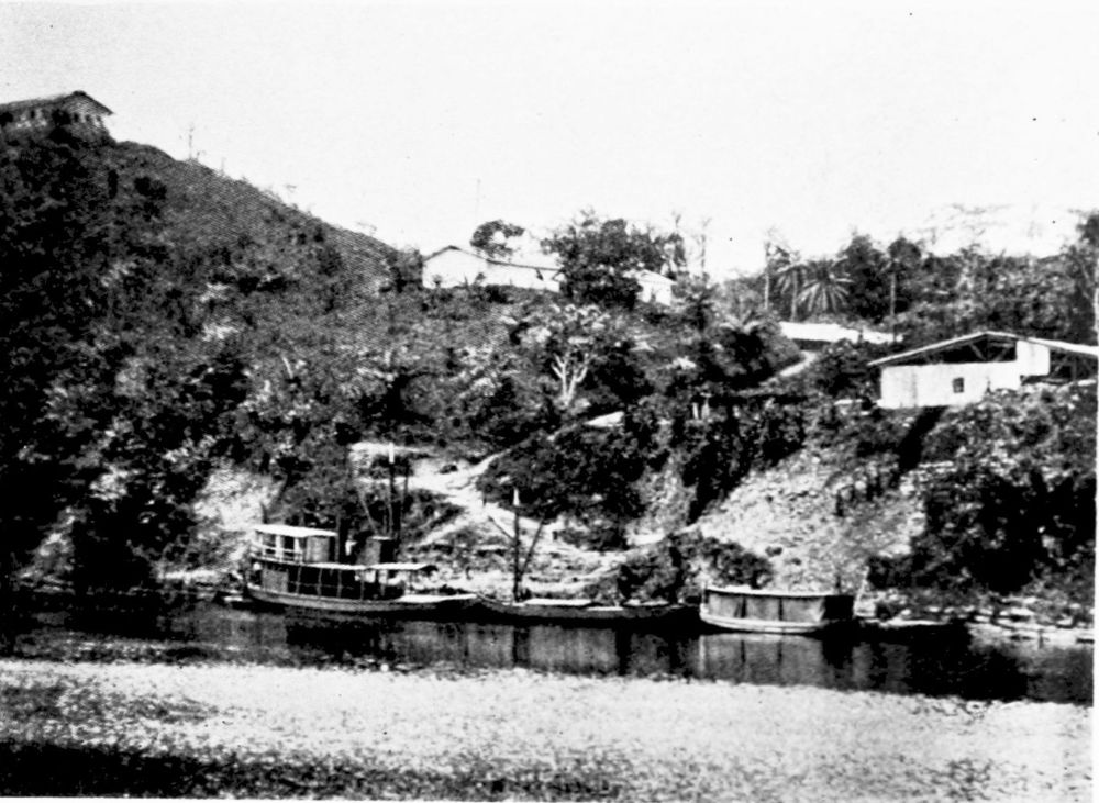
FACTORY ON THE CROSS RIVER FOR TRADING WITH THE NATIVES.
PLATE 95
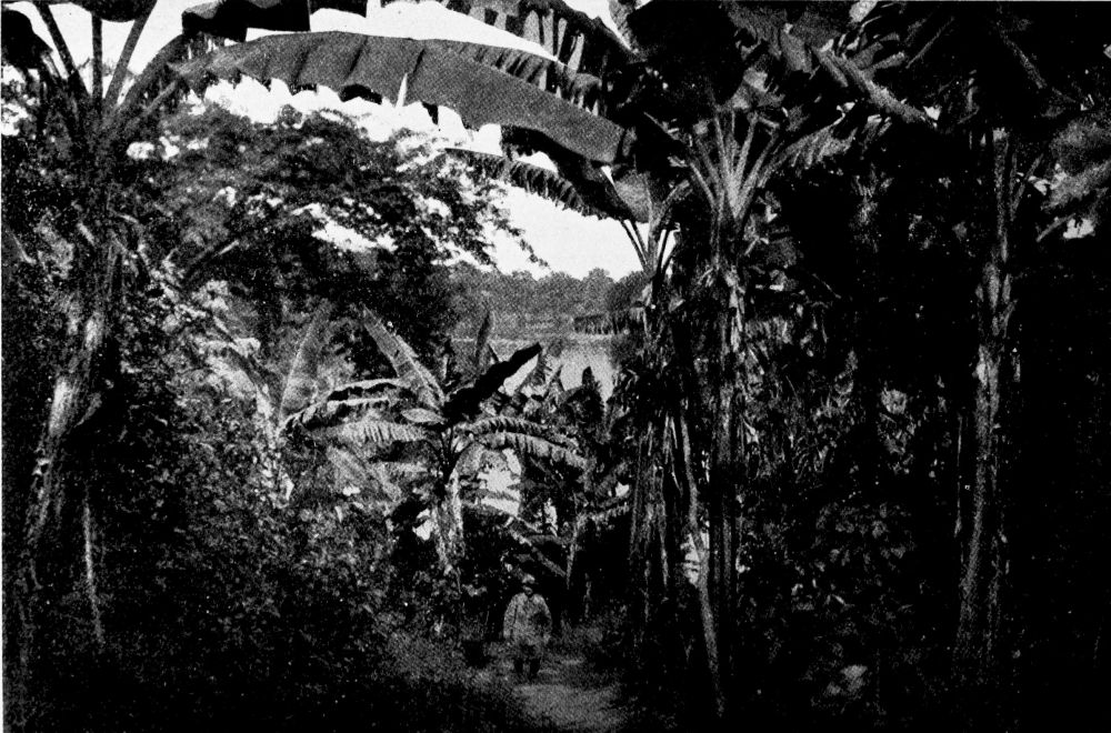
BANANA TREES NEAR OSSIDINGE.
PLATE 96
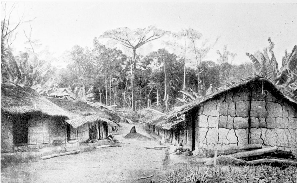
A VILLAGE IN KEAKALAND, OSSIDINGE.
PLATE 97
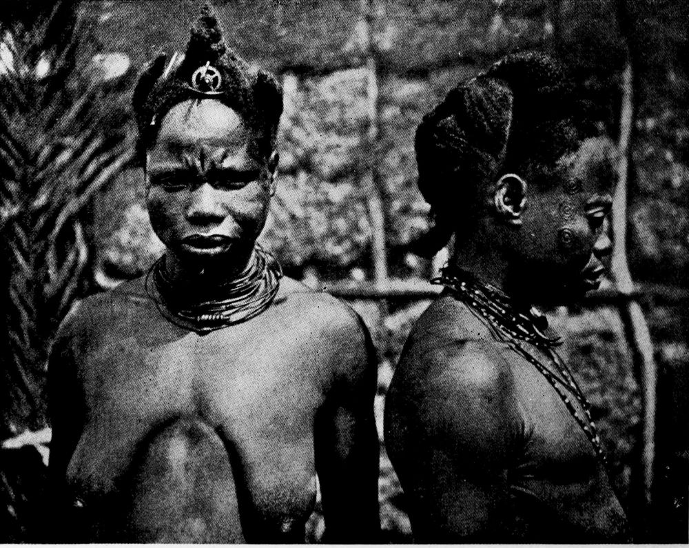
HEAD-DRESS AND TRIBAL MARKS OF KEAKA WOMEN.
PLATE 98
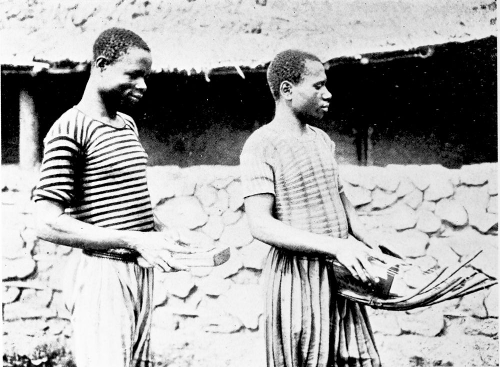
NATIVE MUSICAL INSTRUMENTS IN KEAKALAND.
PLATE 99
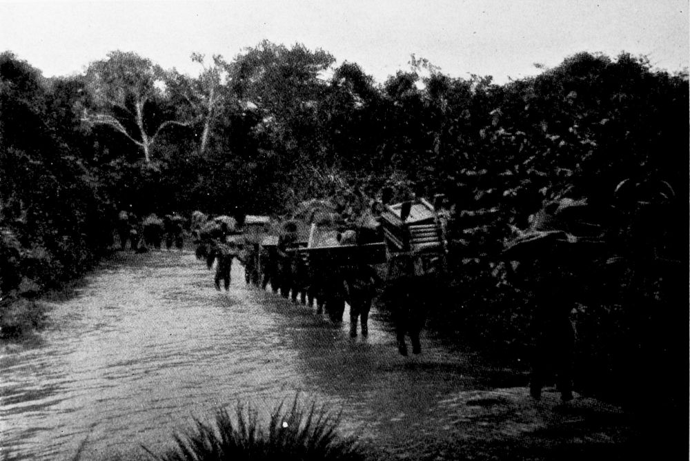
CARAVAN CROSSING THE NDI RIVER, NEAR FONTSCHANDA.
PLATE 100
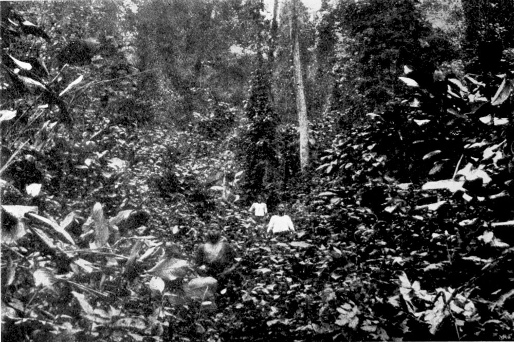
TYPICAL VEGETATION.
PLATE 101
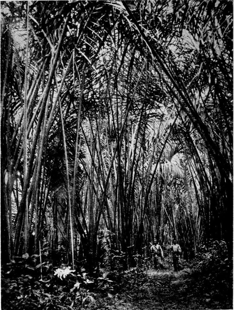
A PALM GROVE.
PLATE 102
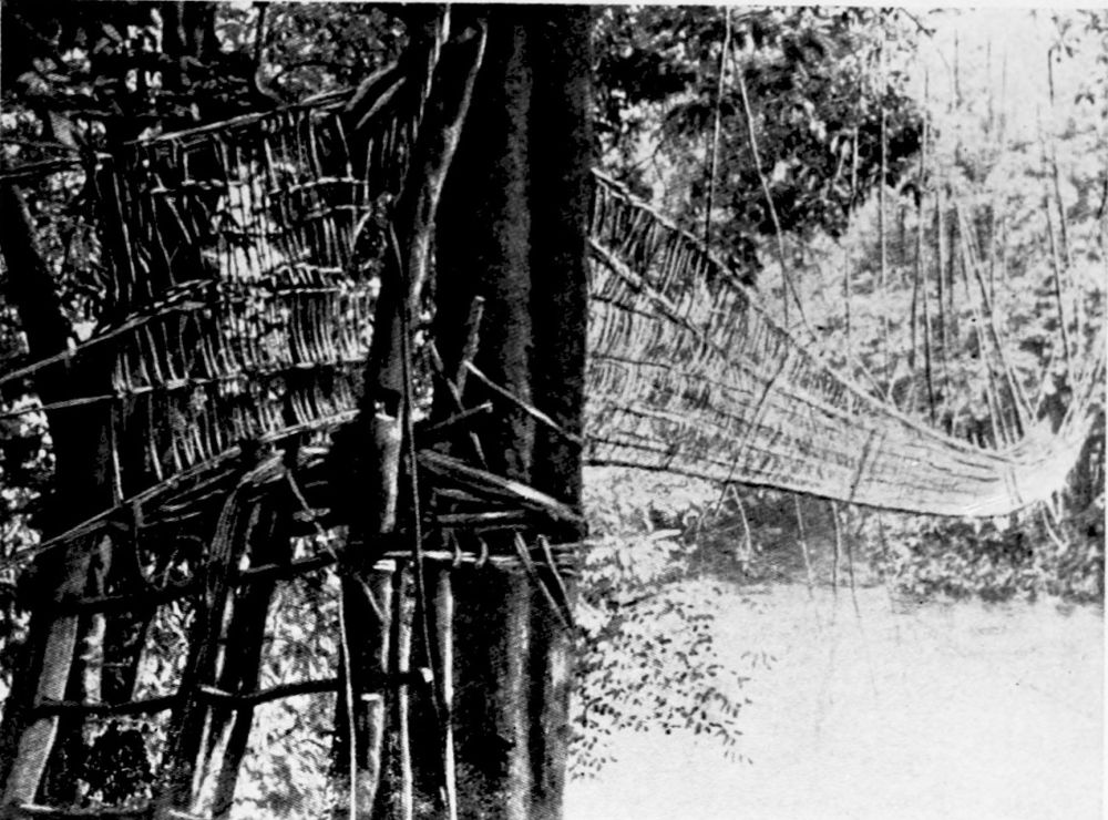
A SUSPENSION BRIDGE.
PLATE 103
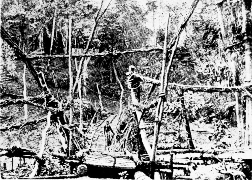
A SUSPENSION BRIDGE.
PLATE 104
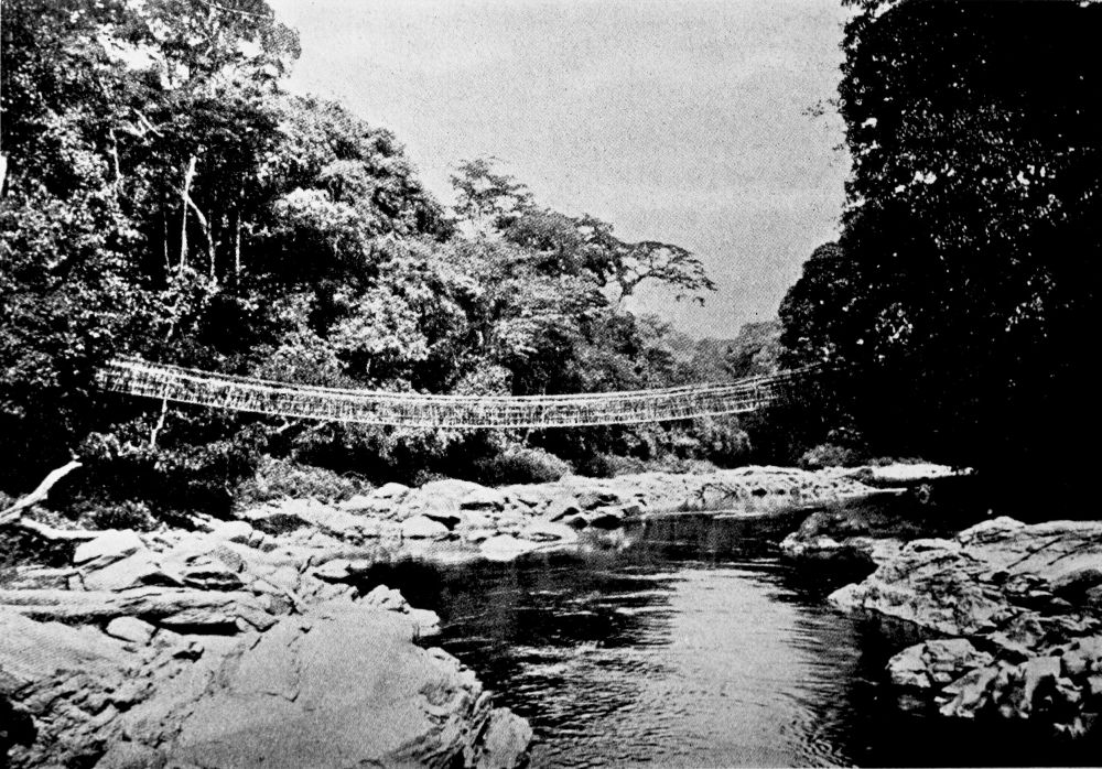
SUSPENSION BRIDGE OVER THE FI, NEAR TINTO.
PLATE 105
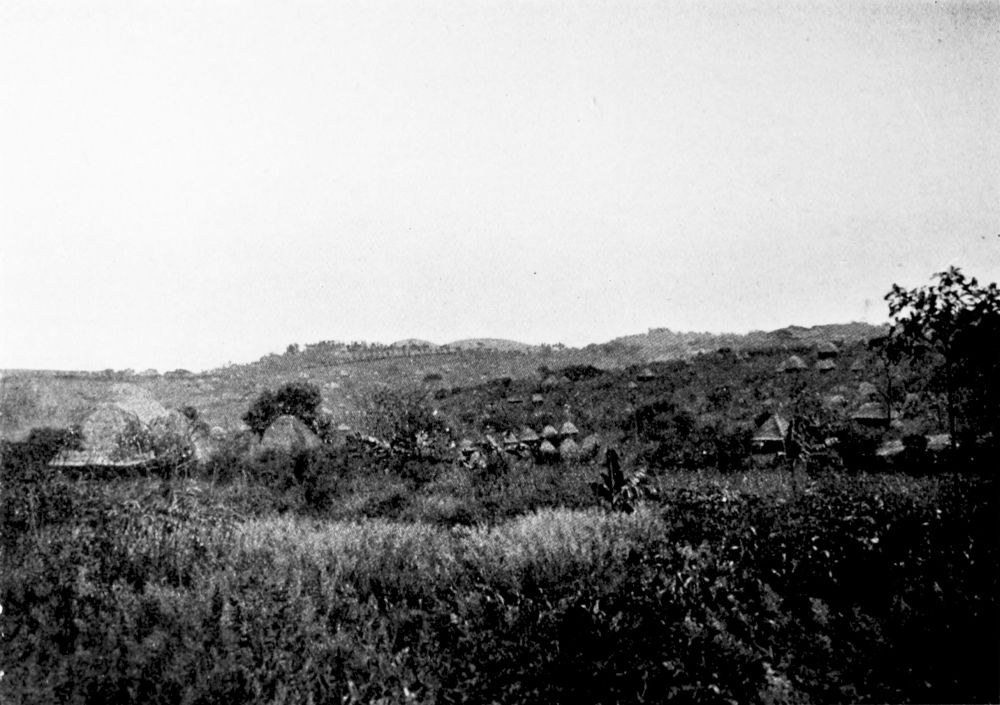
FUMBAN IN BAMUM.
PLATE 106
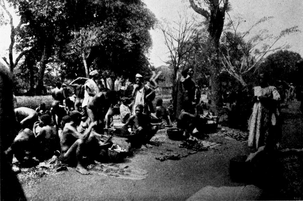
NATIVE MARKET AT BAMUM. PROVISIONS AND KOLO NUTS BEING SOLD.
PLATE 107
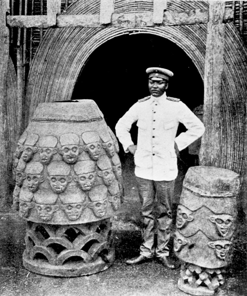
NDJOIA, SULTAN OF BAMUM, BETWEEN TWO WAR DRUMS, AT FUMBAN.
PLATE 108
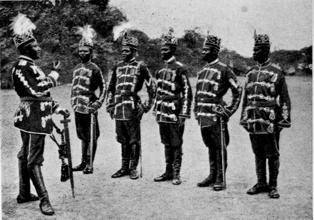
SULTAN OF BAMUM WITH THE CAPTAINS OF HIS TROOPS.
PLATE 109

MADE BY THE NATIVES OF BAMUM.
PLATE 110
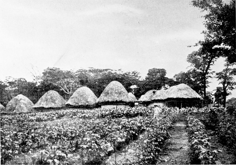
TRIAL FIELD FOR COTTON AND TOBACCO AT THE GOVERNMENT STATION, FUMBAN, BAMUM.
PLATE 111
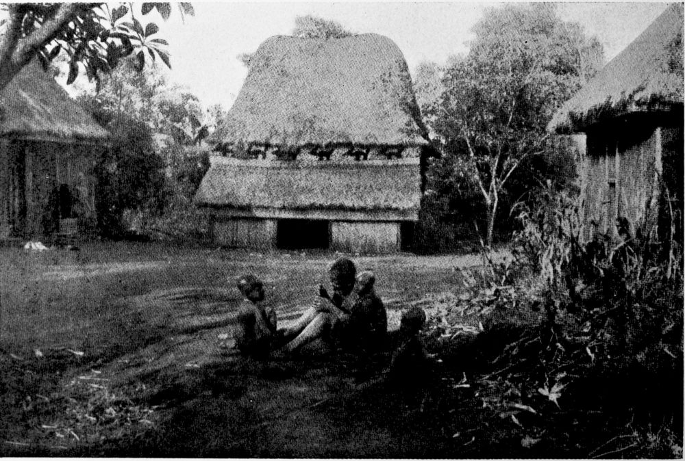
BAMUM. NOTE THE FRIEZE OF ANIMALS UNDER THE GRASS ROOF.
PLATE 112
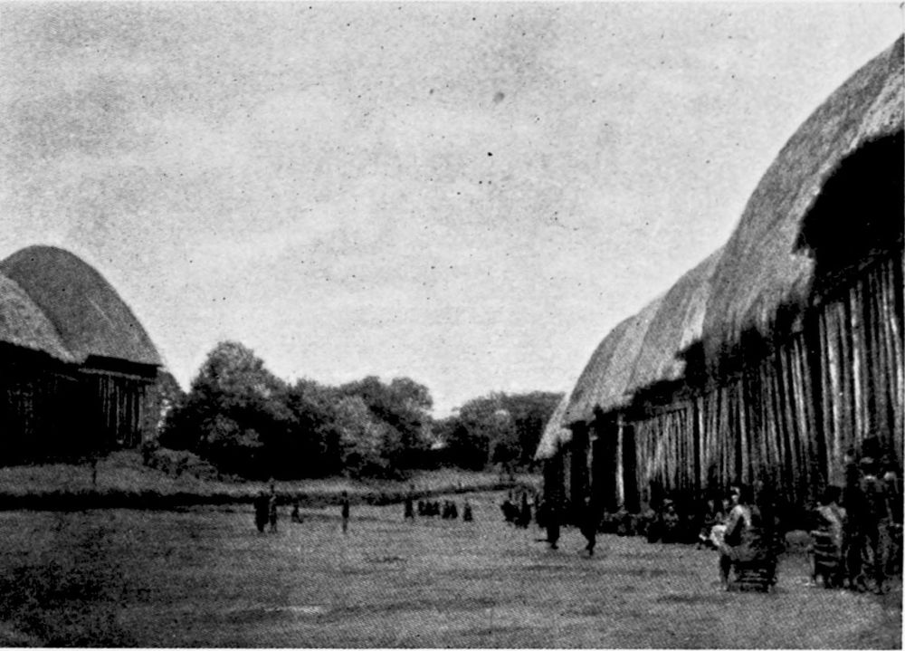
STREET SCENE IN BAMUM.
PLATE 113
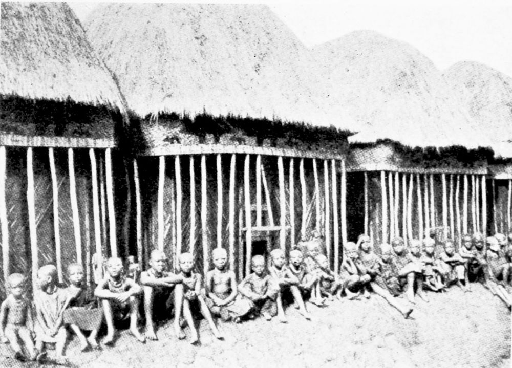
STREET SCENE IN BAMUM.
PLATE 114
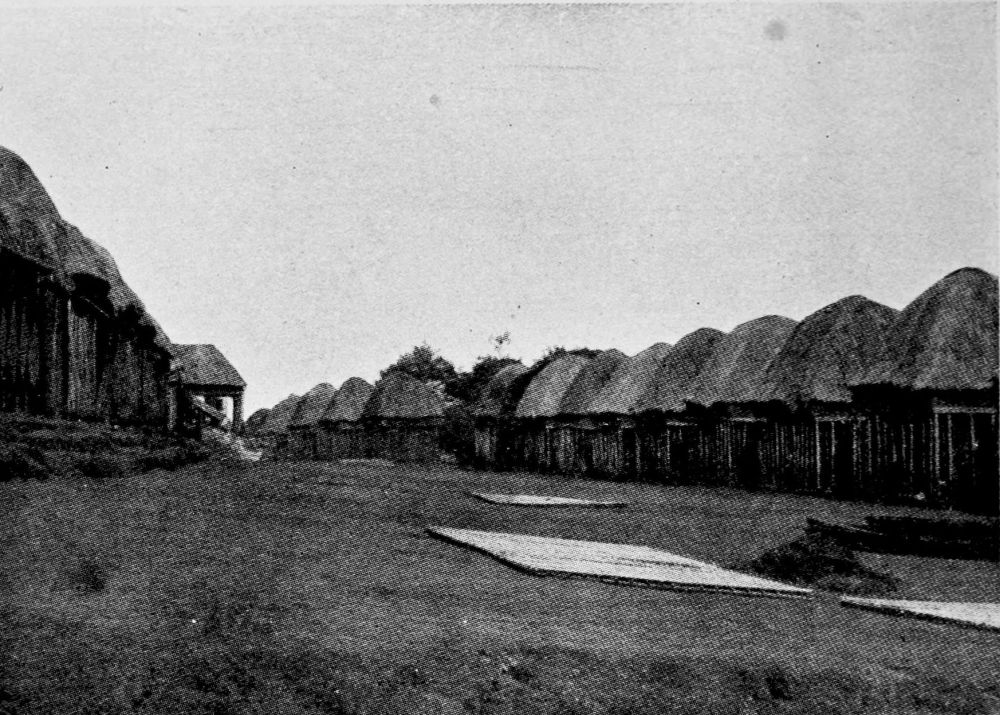
STREET SCENE IN BAMUM.
PLATE 115
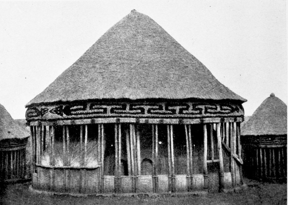
A HOUSE IN BAMUM.
PLATE 116
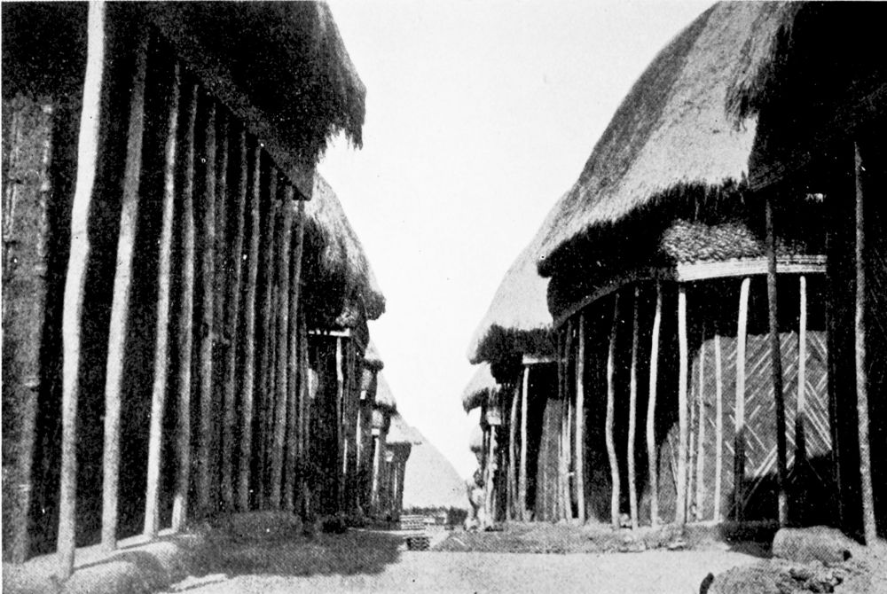
A STREET IN THE WOMEN’S QUARTER.
PLATE 117
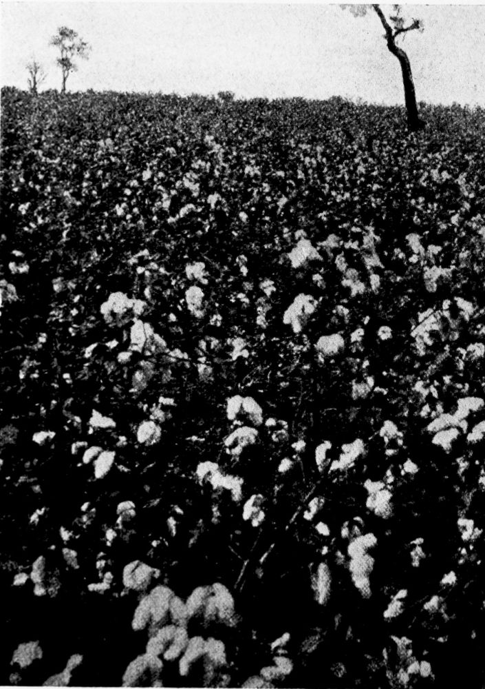
COTTON FIELD NEAR BAMUM.
PLATE 118
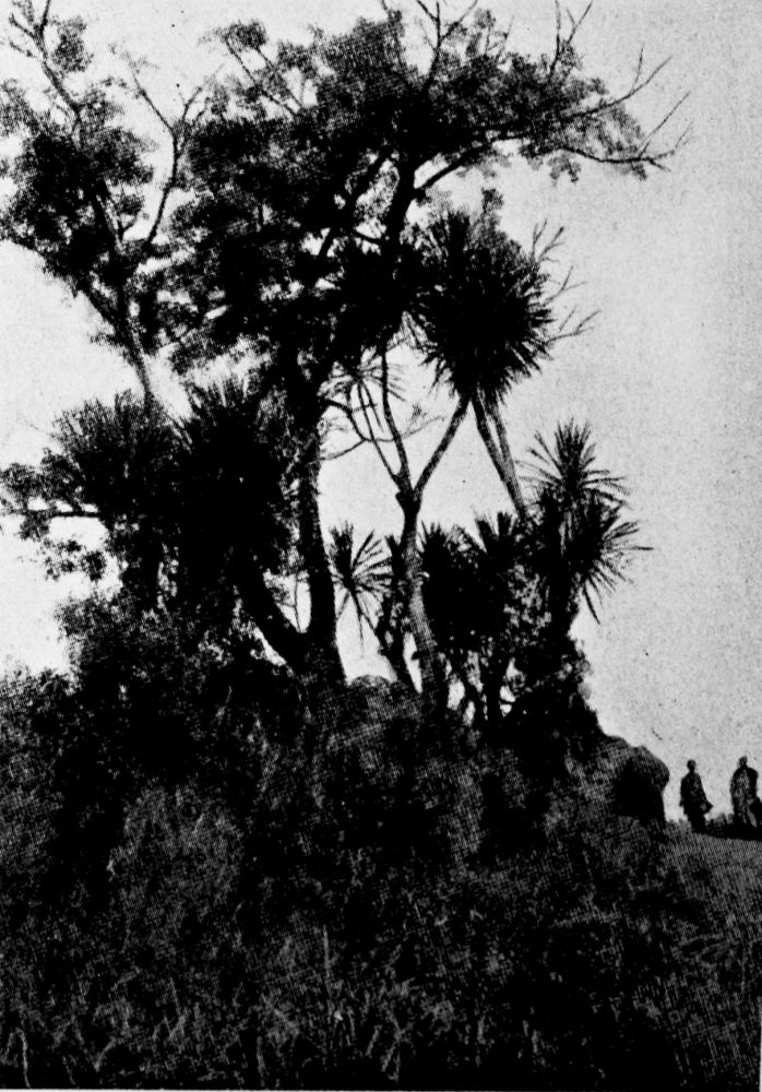
DRACÆNA, THE FETISH TREES OF WEST AFRICA.
PLATE 119
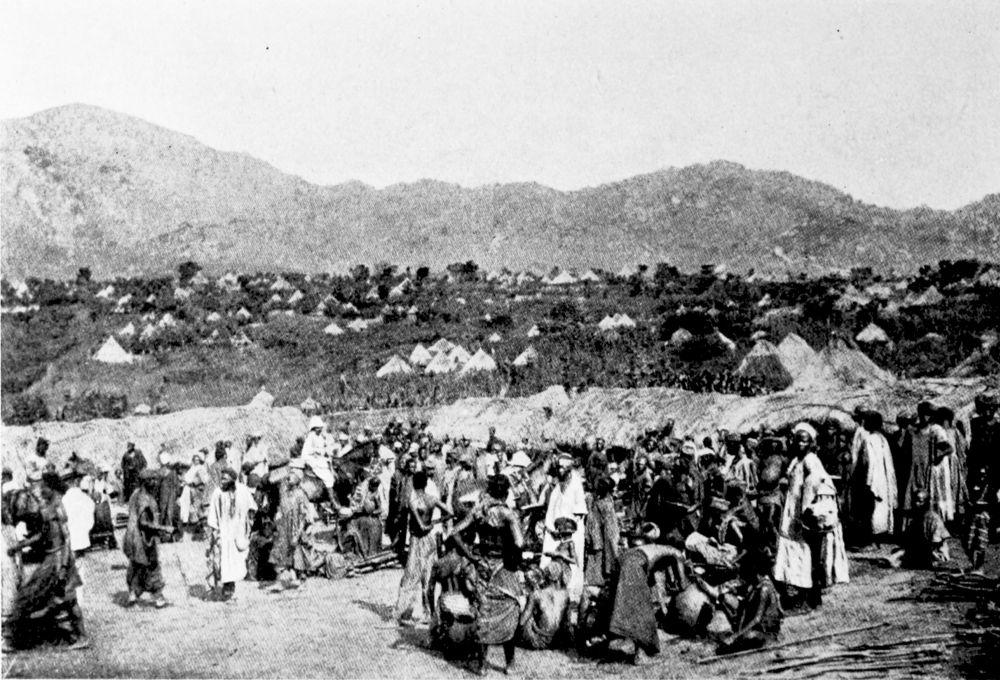
MARKET-PLACE AT BANJO, WITH THE BANJO MOUNTAINS IN THE DISTANCE.
PLATE 120
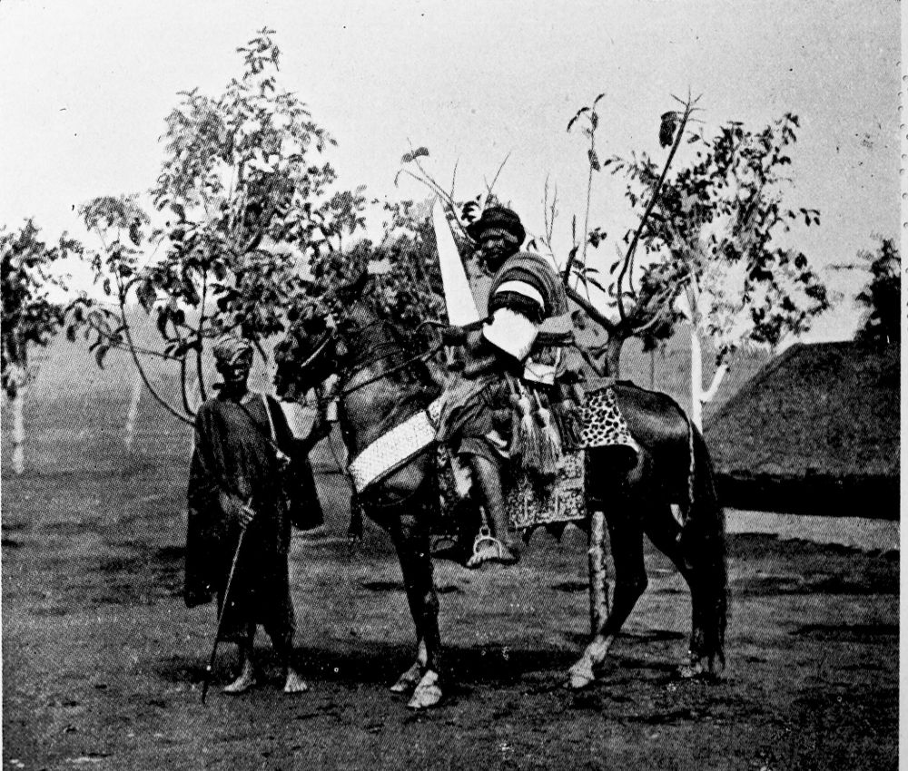
THE “MALAM” OF BANJO IN HAUSA STATE COSTUME.
PLATE 121
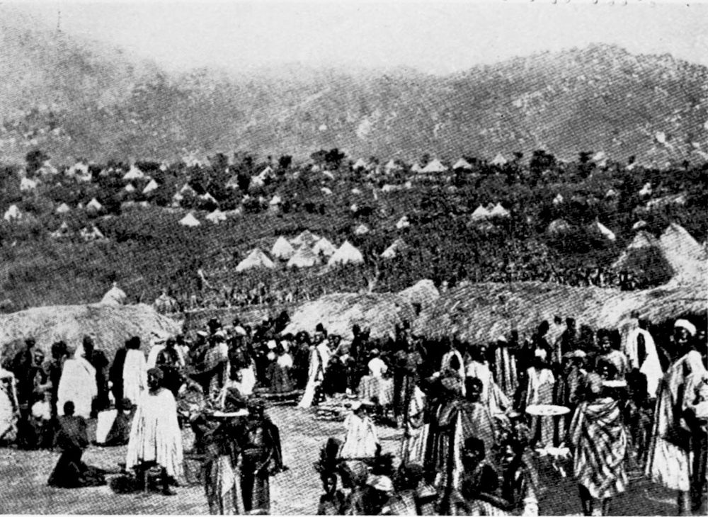
BANJO, A SETTLEMENT IN THE INTERIOR.
PLATE 122
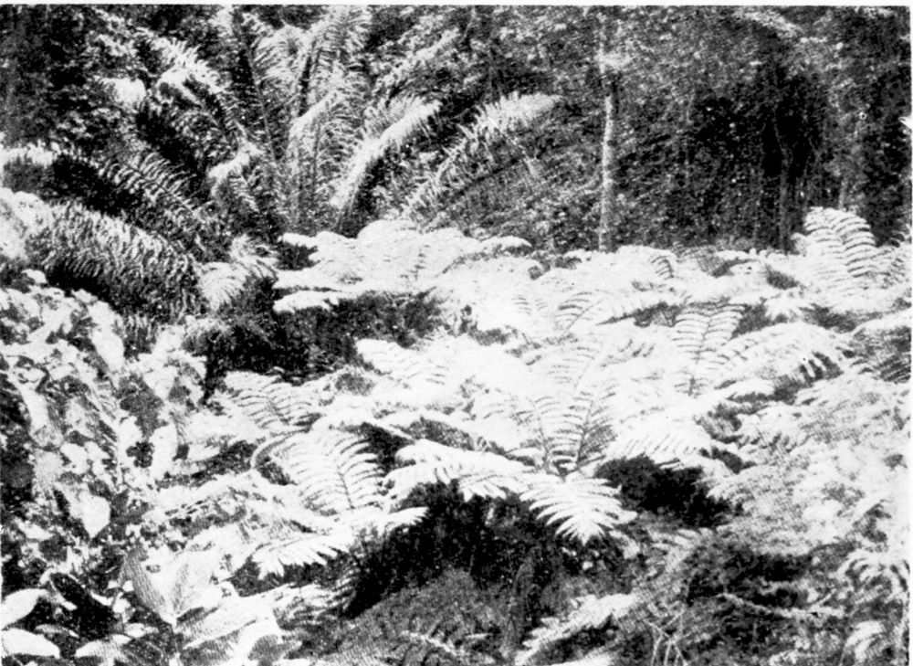
VEGETATION IN THE FOREST.
PLATE 123
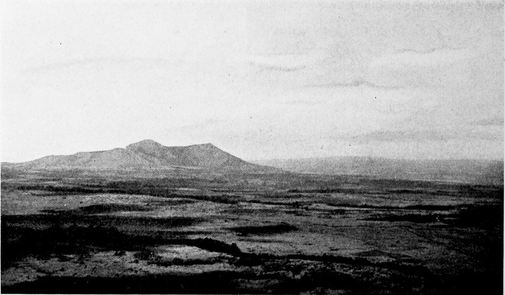
THE “ISLAND” MOUNTAIN DISTRICT IN NORTH ADAMAUA BETWEEN NTEM AND THE RIBÄU SLOPE ON THE BANJO ROAD.
PLATE 124
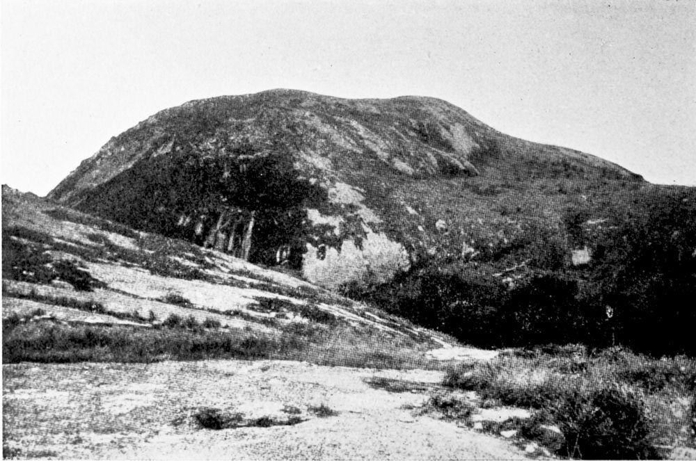
GRANITE MOUNTAIN IN CENTRAL CAMEROON.
PLATE 125
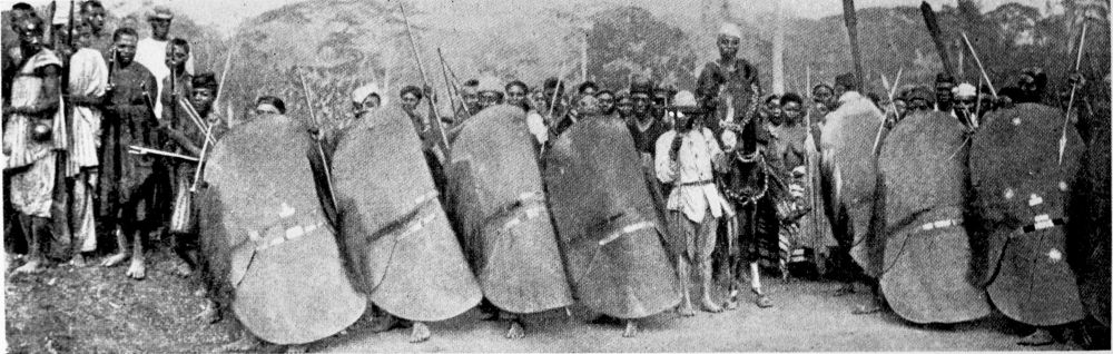
SUDAN NATIVES OF CENTRAL CAMEROON. WUTE NATIVES IN WAR COSTUME.
PLATE 126
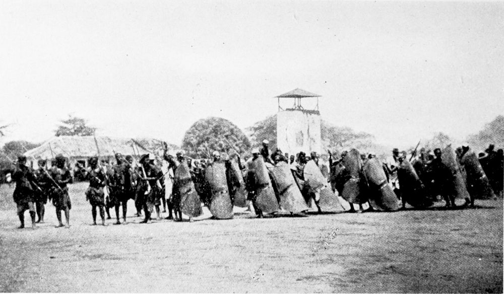
WAR GAMES OF THE WUTE NATIVES.
PLATE 127
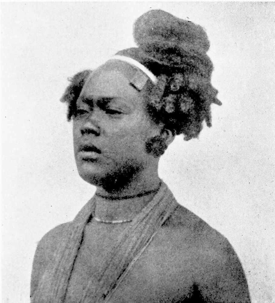
WOMAN OF THE WUTE TRIBE.
PLATE 128
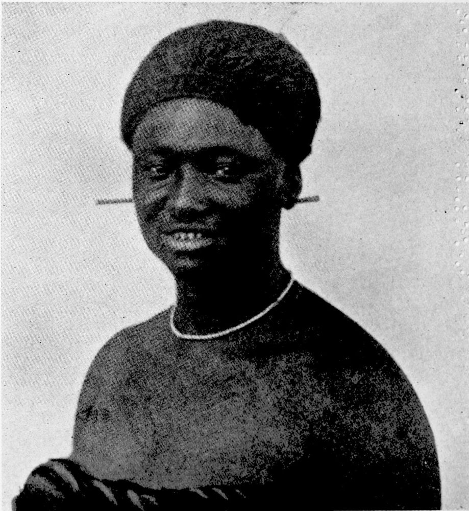
WOMAN OF THE WUTE TRIBE.
PLATE 129
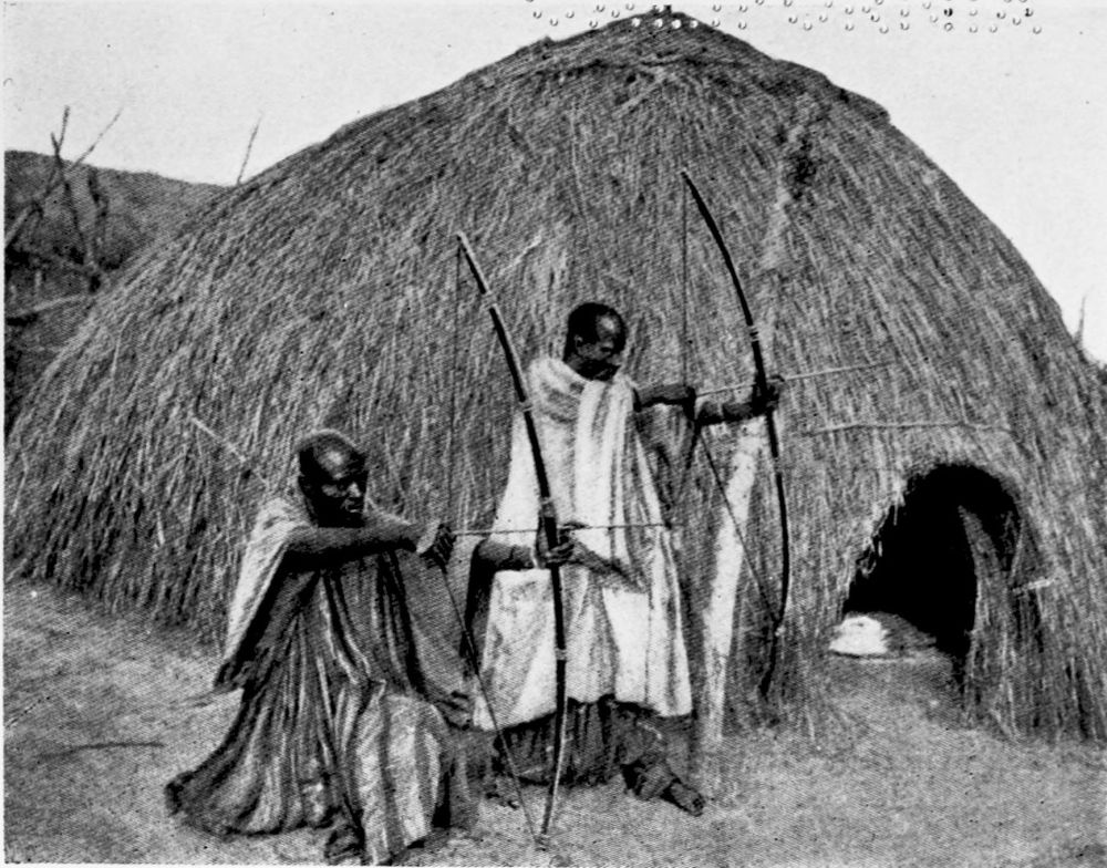
SUDAN NATIVES IN CENTRAL CAMEROON. WUTE ARCHERS.
PLATE 130
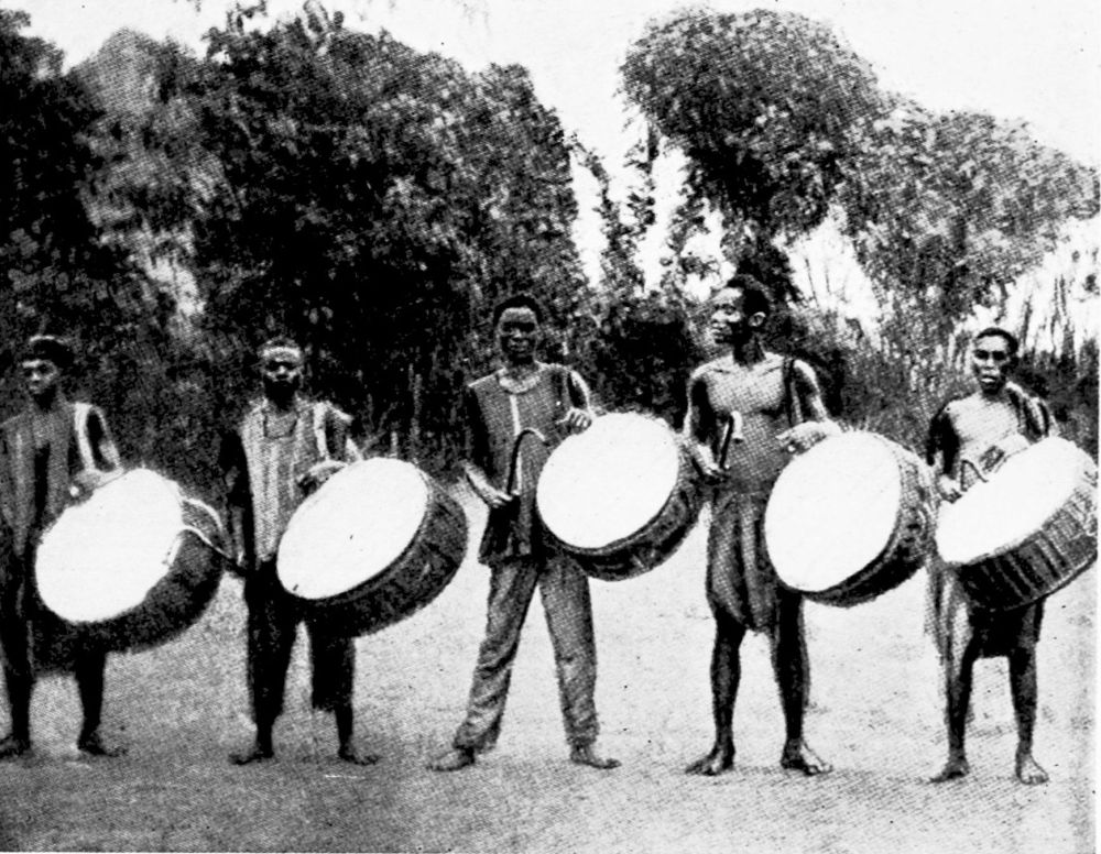
SUDAN NATIVES IN CENTRAL CAMEROON. WUTES WITH THEIR WAR DRUMS.
PLATE 131
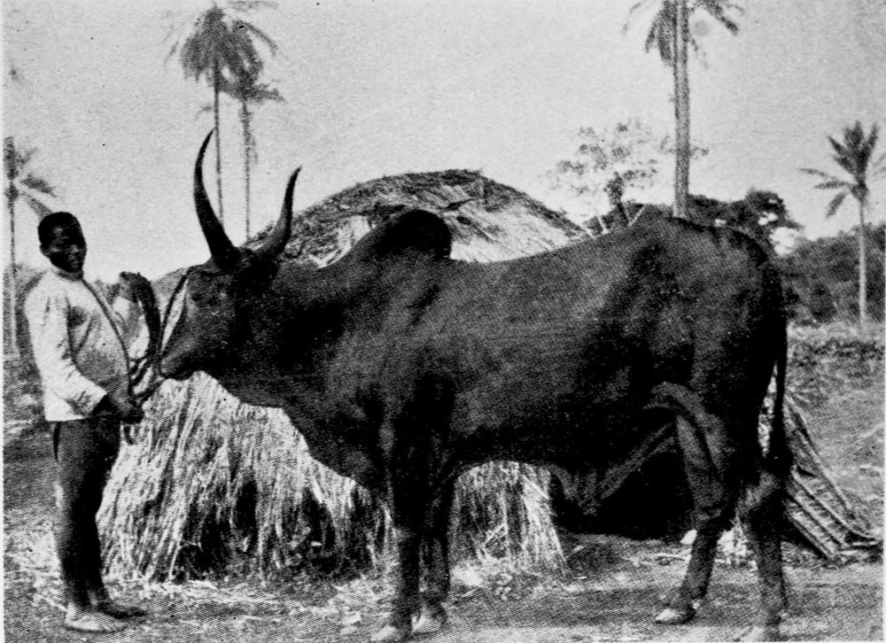
HUMP-BACKED CATTLE OF ADAMAUA.
PLATE 132
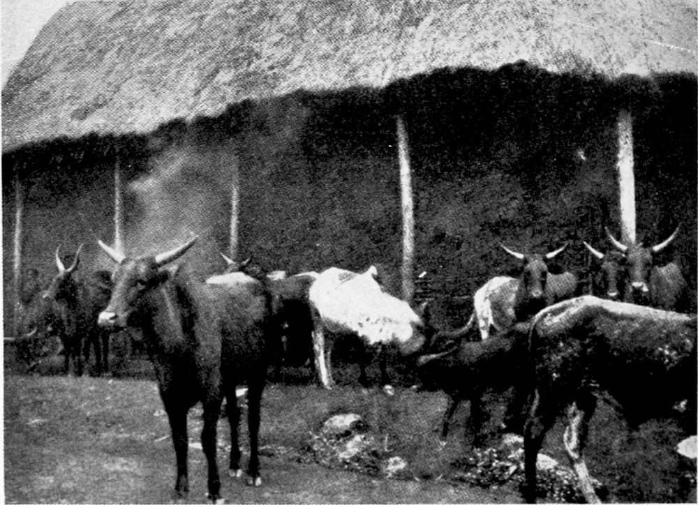
HUMP-BACKED CATTLE OF ADAMAUA.
PLATE 133
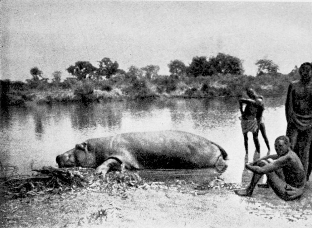
THE FARO ABOVE TSCHAMBA.
PLATE 134
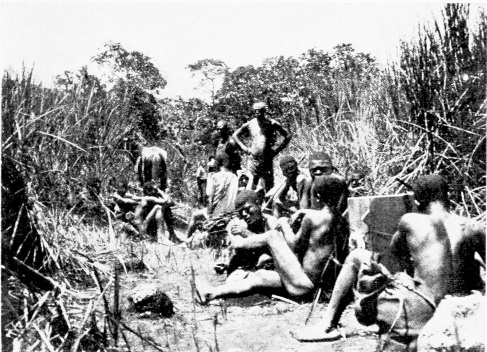
CARAVAN TRAVELLING—RESTING.
PLATE 135
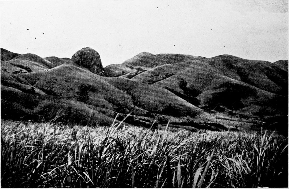
KUMBO HIGHLANDS ON THE WAY TO LAKE MAUWE, BETWEEN BAKUMBI AND BANKA.
PLATE 136
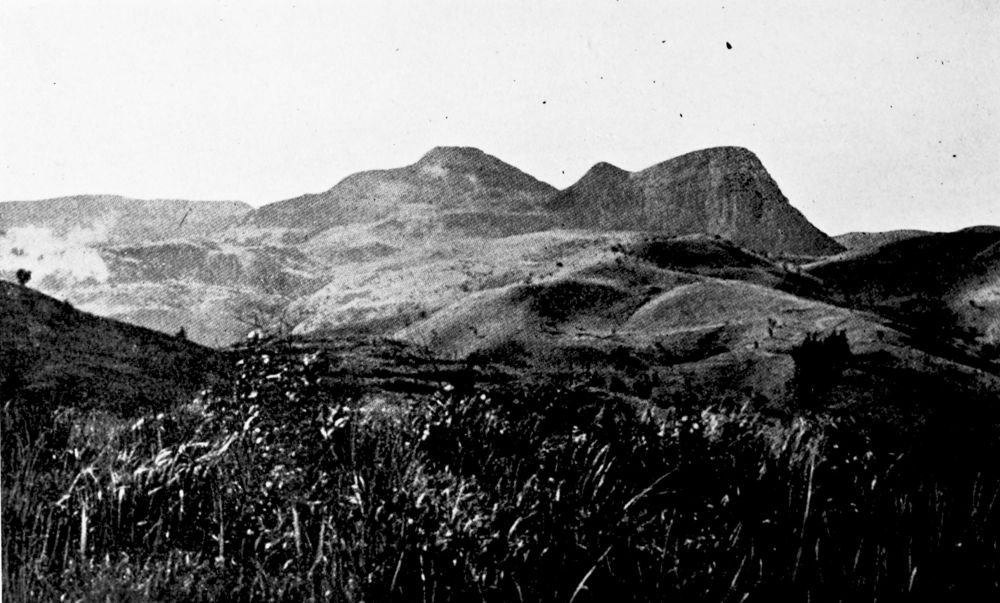
KUMBO HIGHLANDS BETWEEN BANKA AND LAKE MAUWE.
PLATE 137
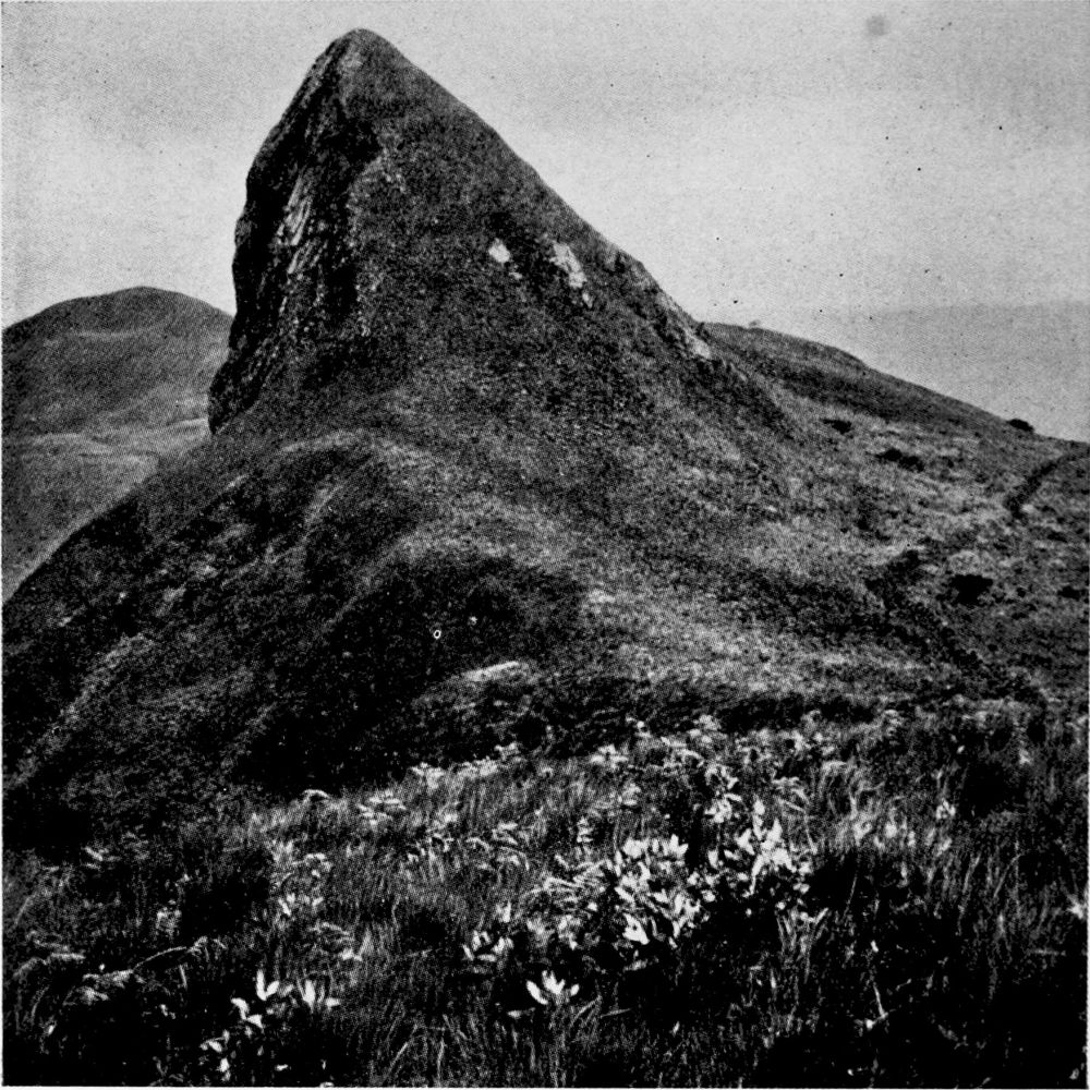
THE REMAINS OF A VOLCANO IN THE KUMBO HIGHLANDS.
PLATE 138
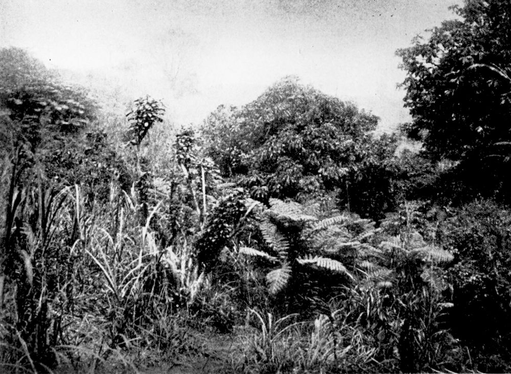
FOREST IN THE HIGHLANDS.
PLATE 139
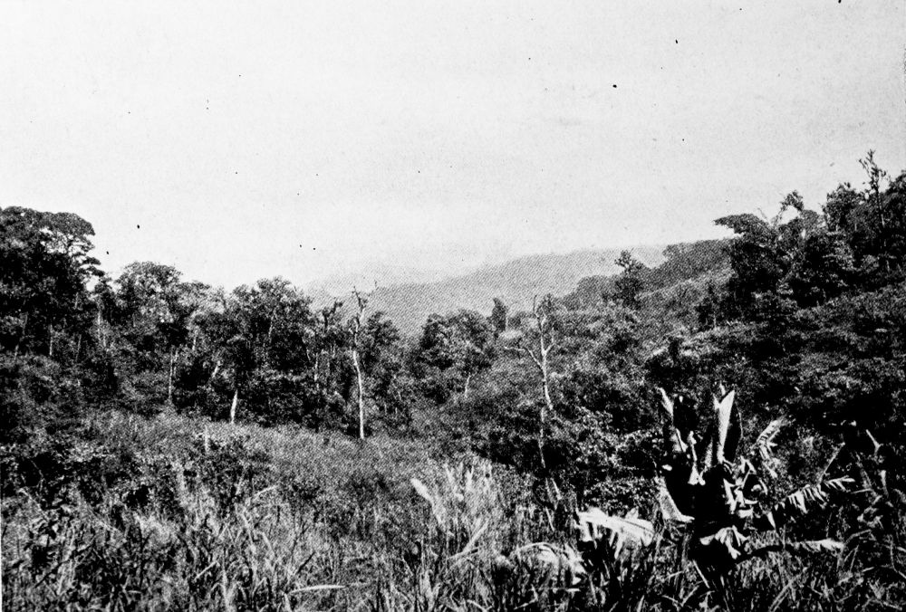
CHANGE FROM FOREST TO GRASS COUNTRY ON THE BROKEN EDGE OF THE INNER HIGHLANDS NEAR FONTEM.
PLATE 140
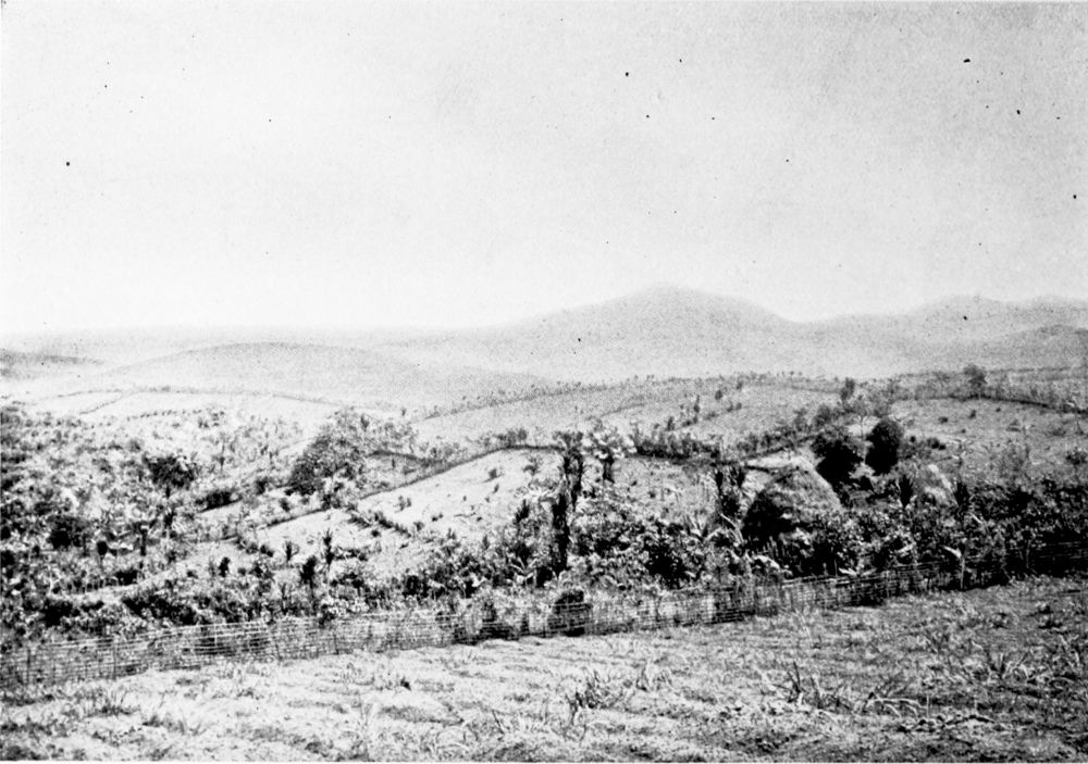
CULTIVATED PORTIONS OF GRASS COUNTRY.
PLATE 141
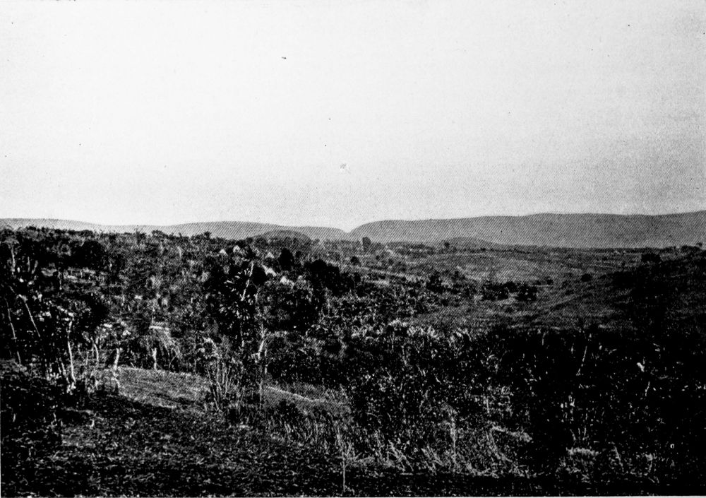
TYPICAL GRASS COUNTRY IN BAFU-FONDONG, ON THE GREAT DSCHANG-BAMENDA ROAD.
PLATE 142
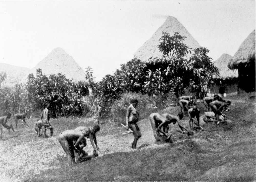
WOMEN WORKING IN THE FIELDS IN THE GRASS COUNTRY, NORTH-WEST CAMEROON.
PLATE 143
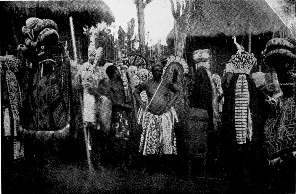
DEATH DANCE OF THE NATIVES NEAR DSCHANG.
PLATE 144
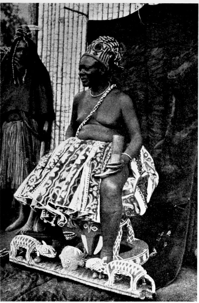
THE CHIEF BAFU-FONDONG ON HIS THRONE.
PLATE 145
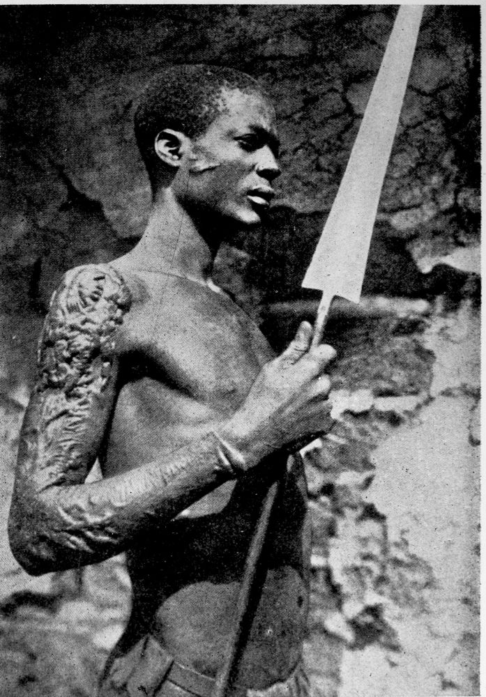
TATOOED FONDONG NEGRO.
PLATE 146
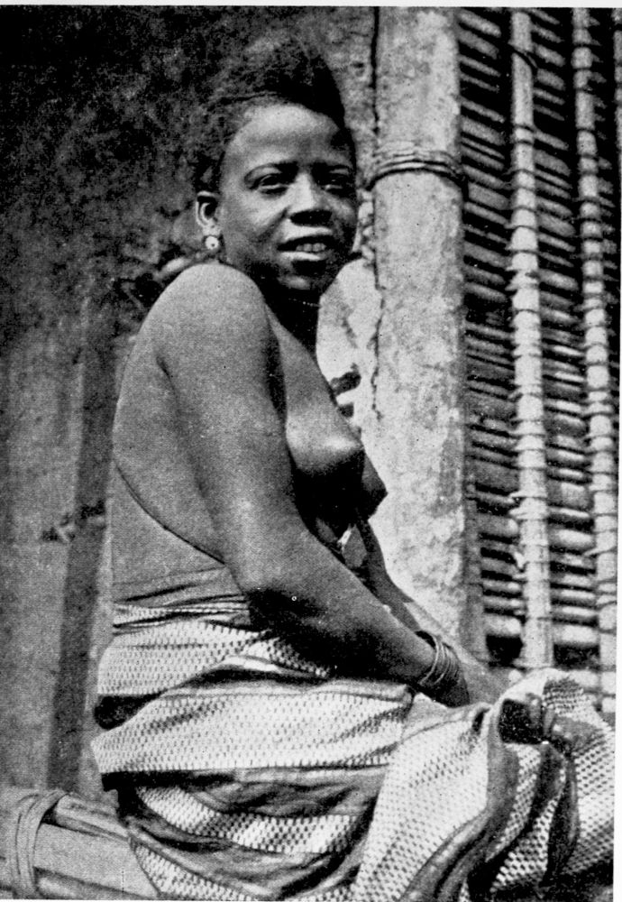
A CHIEF’S WIFE IN THE GRASS COUNTRY.
PLATE 147
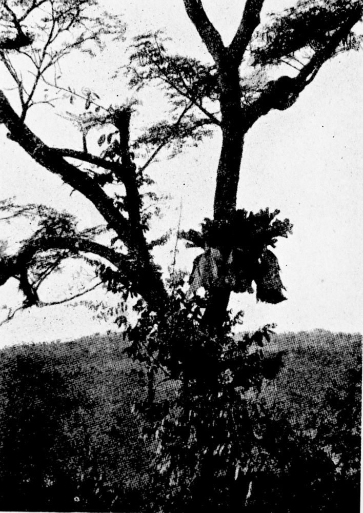
PARASITES ON A TREE, NEAR THE GRASS COUNTRY.
PLATE 148
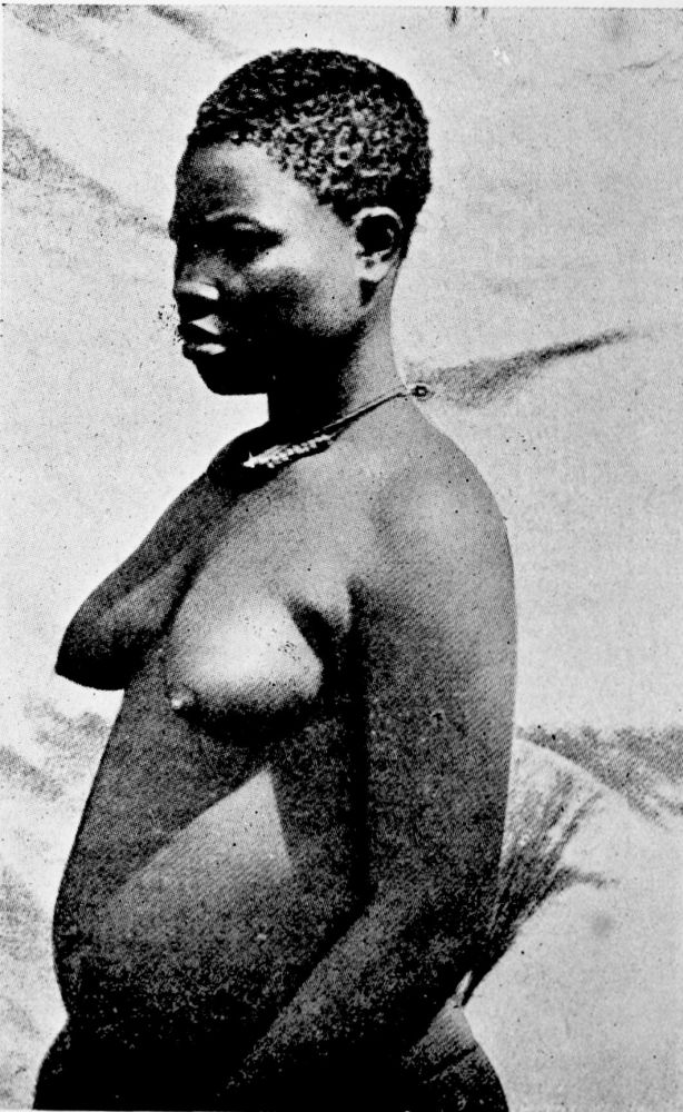
BALI NEGRESS IN THE GRASS COUNTRY.
PLATE 149
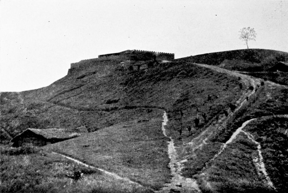
MBO, A FORTIFIED STATION NEAR THE GRASS COUNTRY.
PLATE 150
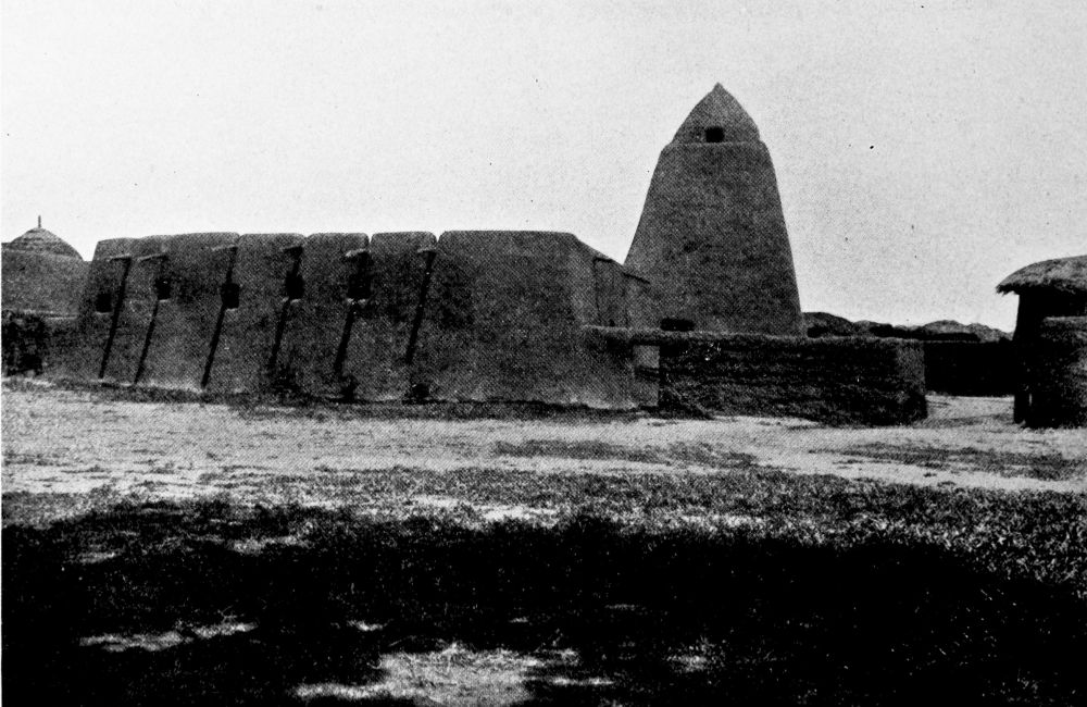
KUSSERI, A FORTIFIED STATION IN NORTH CAMEROON.
PLATE 151
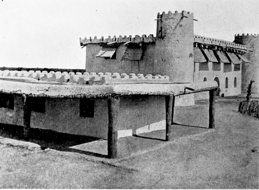
THE RESIDENT’S HOUSE AT KUSSERI.
PLATE 152
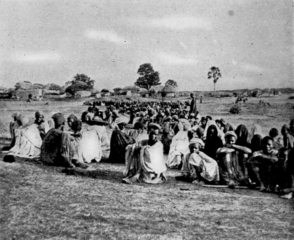
MECCA PILGRIMS AT KUSSERI.
PLATE 153
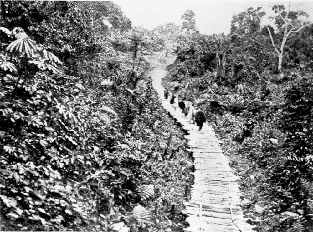
LOG PATH THROUGH A SWAMP.
PLATE 154
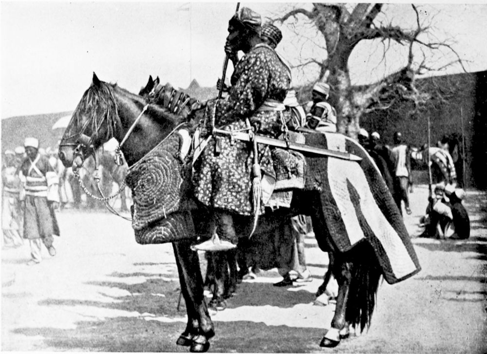
HORSEMEN IN NORTH CAMEROON.
PLATE 155
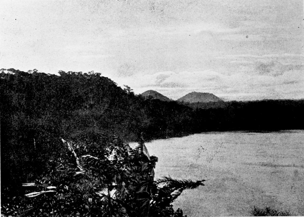
VIEW OF ELEPHANT LAKE.
PLATE 156
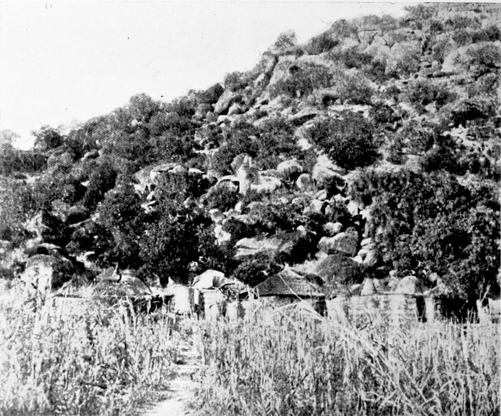
VILLAGE OF KILGRIM IN THE MANDARA MOUNTAINS.
PLATE 157
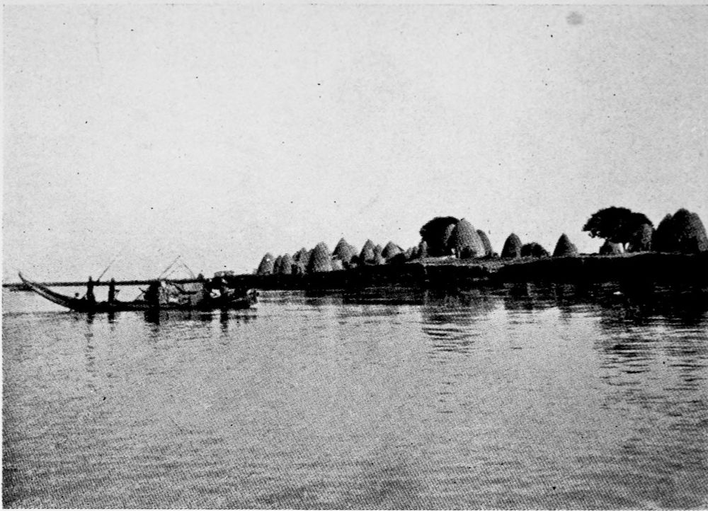
THE LAGONE RIVER AT MUSGUM.
PLATE 158
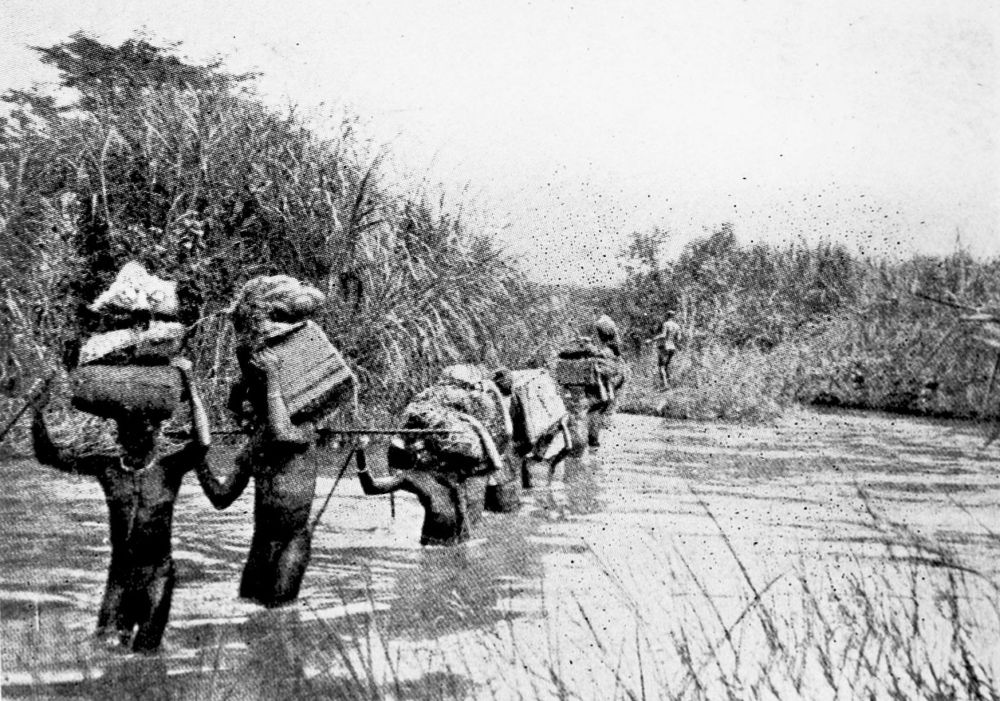
CARAVAN CROSSING A RIVER.
PLATE 159
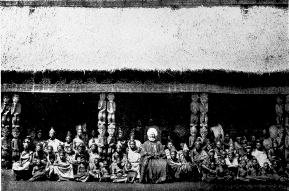
NJOJA, WITH HIS WIVES AND CHILDREN, SITTING IN FRONT OF HIS PALACE.
PLATE 160
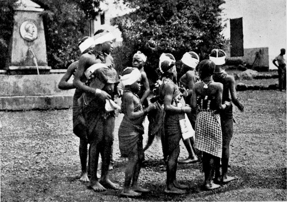
BAKWIRI WOMEN AND CHILDREN DANCING.
PLATE 161
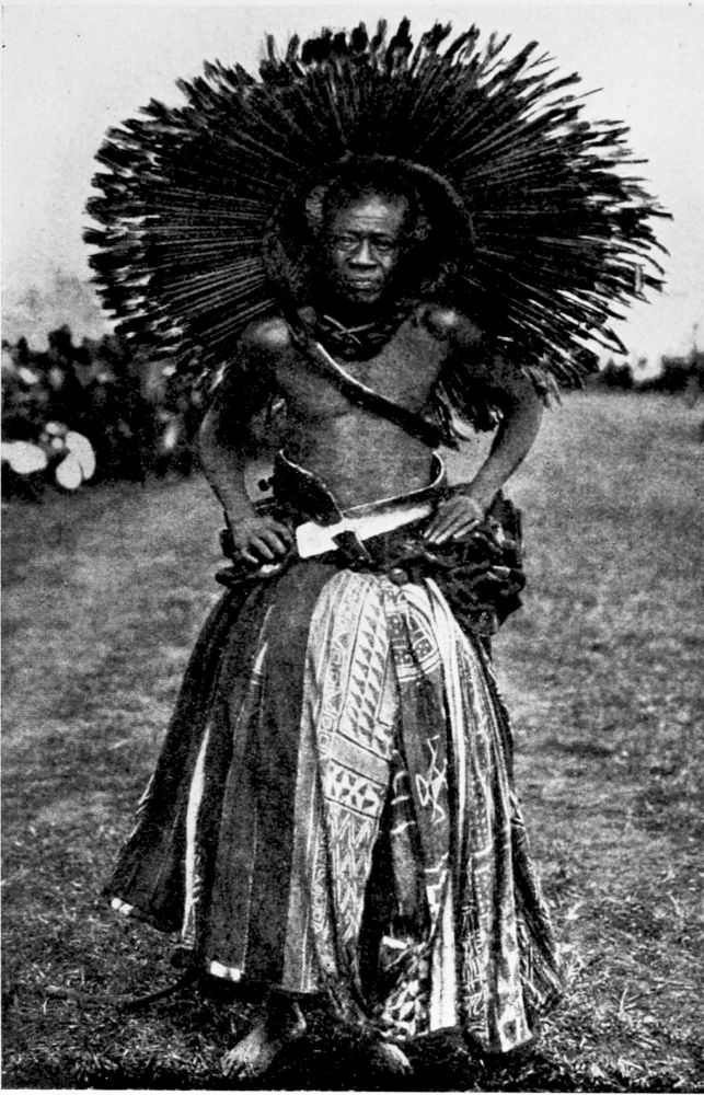
THE HEAD CHIEF BALWEN IN HIS WAR COSTUME.
PLATE 162
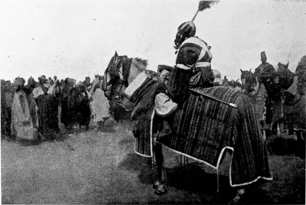
CHIEFTAIN IN GALA ATTIRE.
PLATE 163
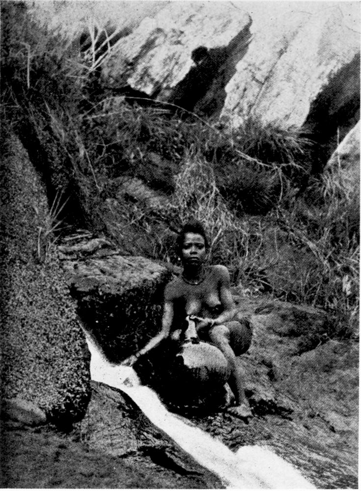
HAUSA GIRL AT A SPRING.
PLATE 164
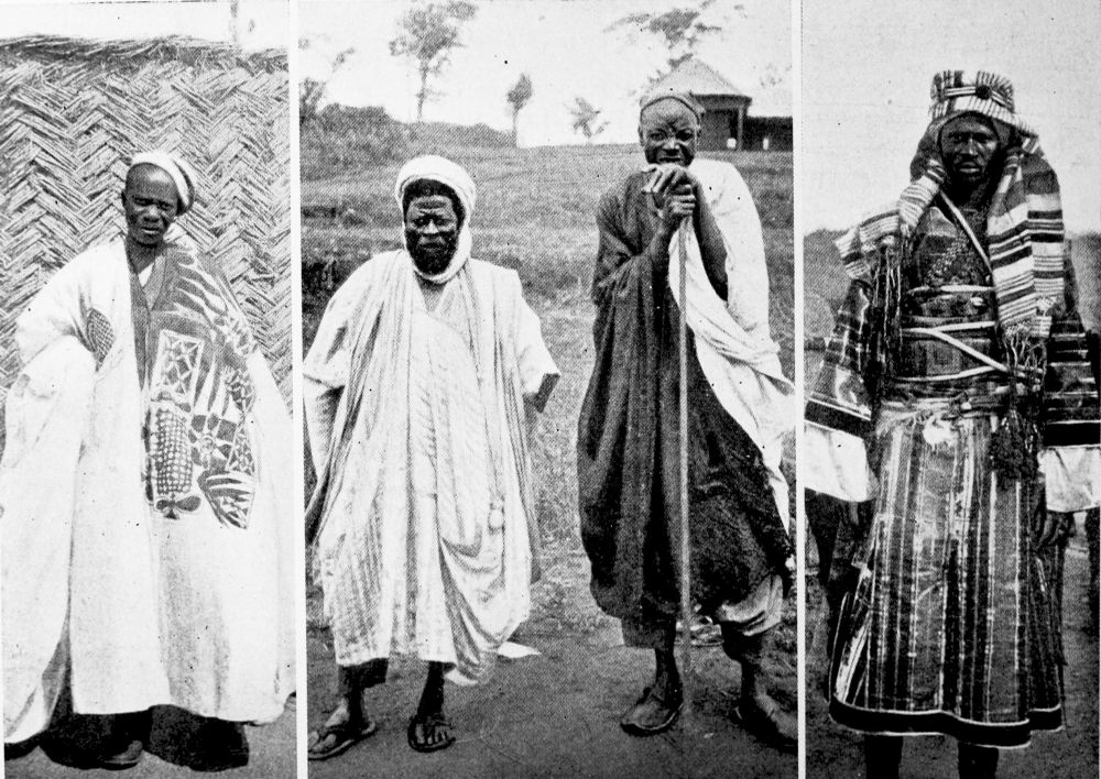
NATIVES OF NORTH CAMEROON.
1. The “Lamido” of Banjo (Fullah).
2. Hausa Traders.
3. Arab from Lake Chad.
PLATE 165
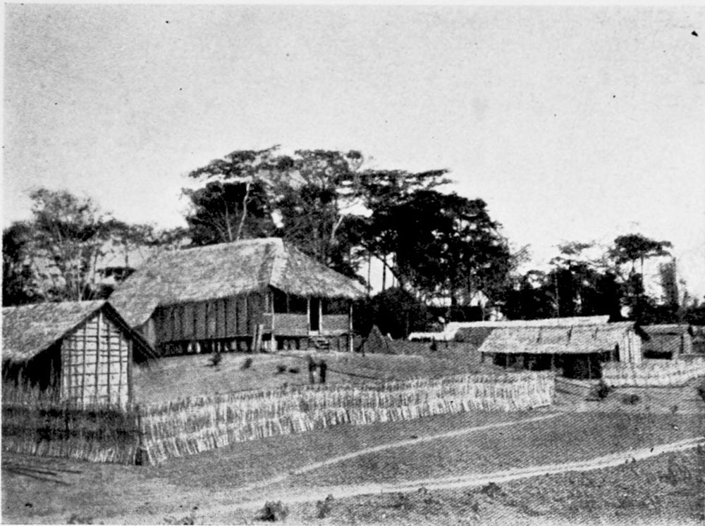
DENG-DENG, A SETTLEMENT IN THE INTERIOR.
PLATE 166
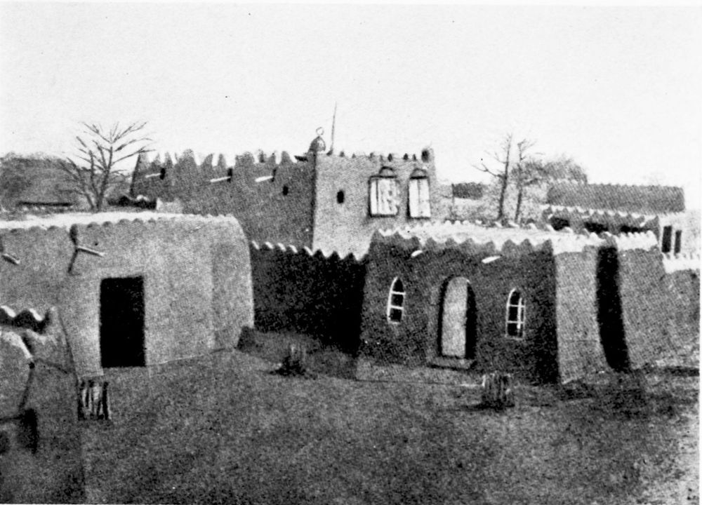
DIKOA, A SETTLEMENT IN THE INTERIOR.
PLATE 167
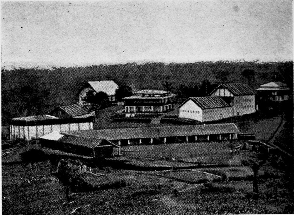
EBOLOWA, A SETTLEMENT IN THE INTERIOR.
PLATE 168
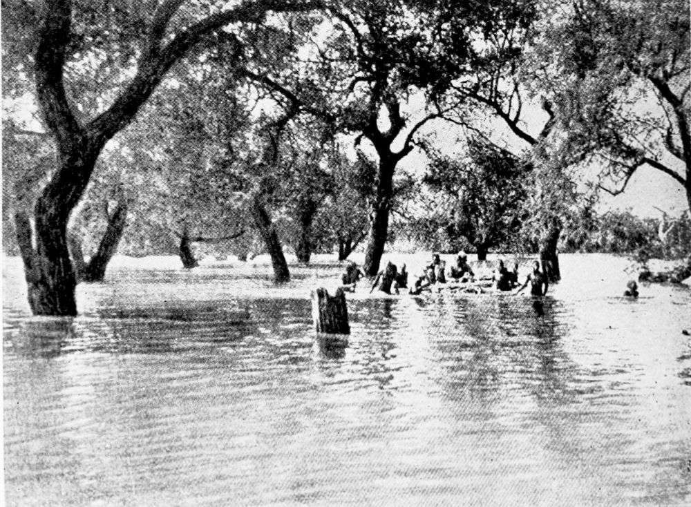
FLOODS NEAR SSIGAL.
PLATE 169
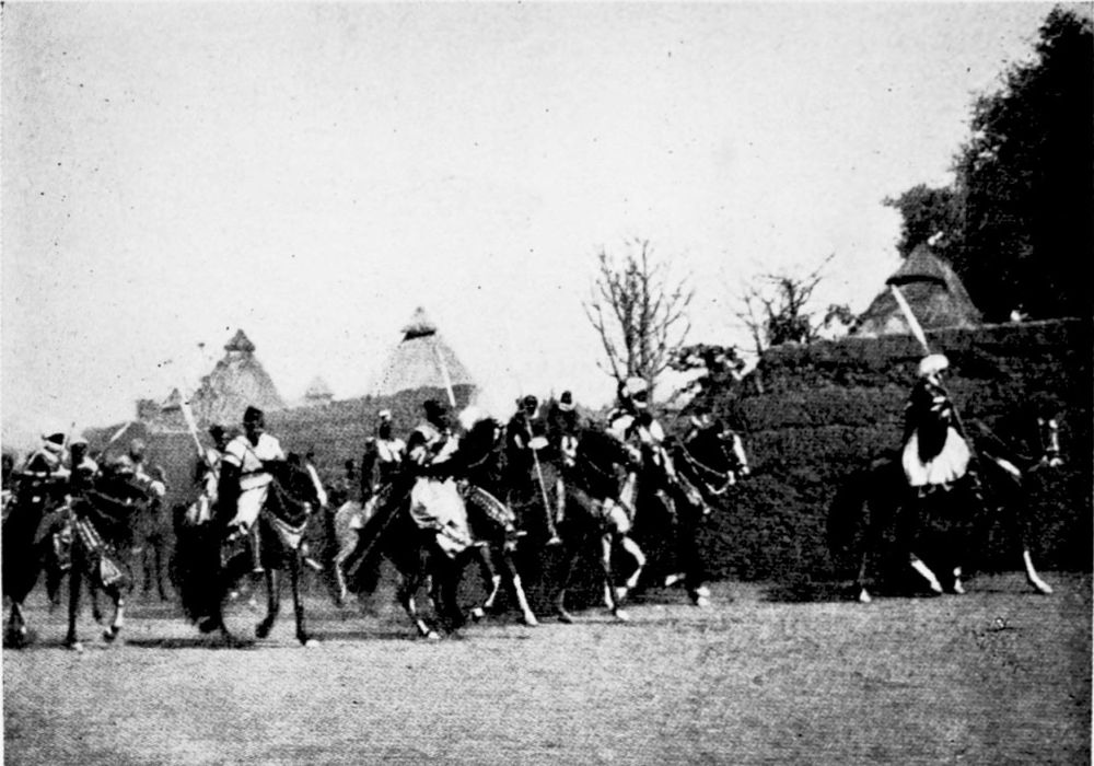
SULTAN OF NGAUMDERE WITH HIS BODYGUARD.
PLATE 170
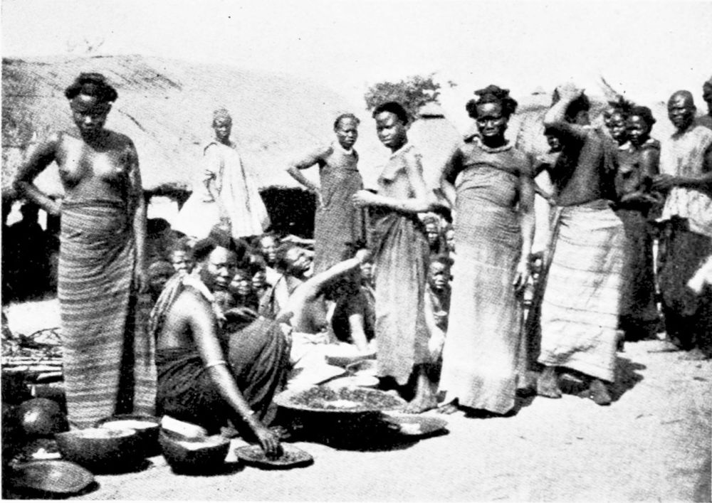
MARKET AT NGAUMDERE.
PLATE 171
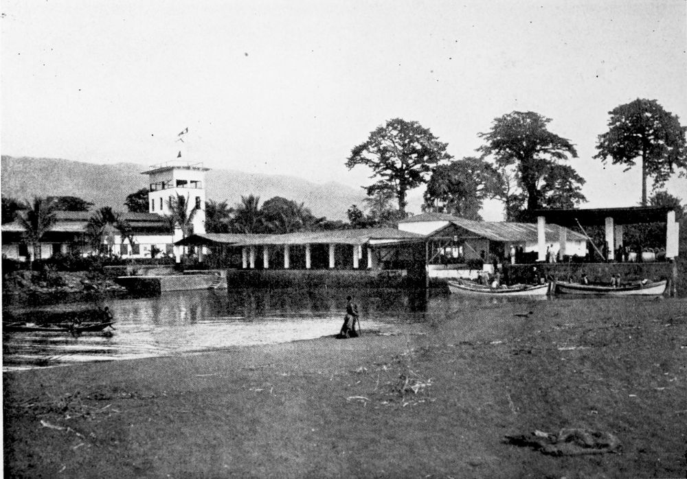
MAIN BUILDINGS OF THE BIBUNDI PLANTATION.
PLATE 172
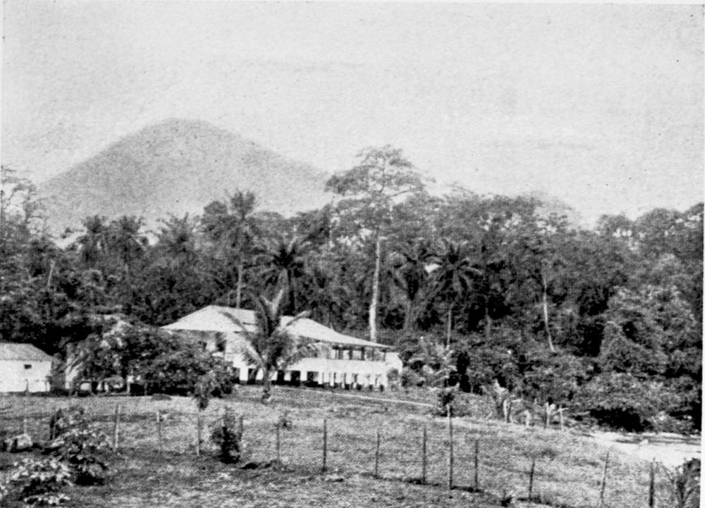
BUNGALOW ON THE BIBUNDI PLANTATION.
PLATE 173
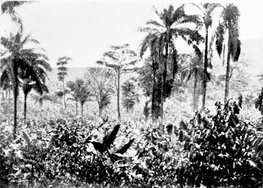
PLANTATION IN FULL BEARING.
PLATE 174
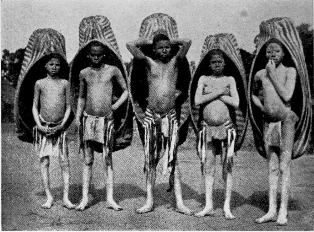
BAIA YOUTHS.
PLATE 175
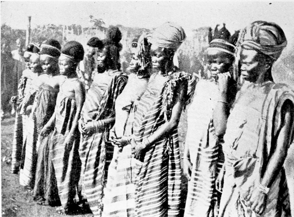
BAIA WOMEN.
PLATE 176
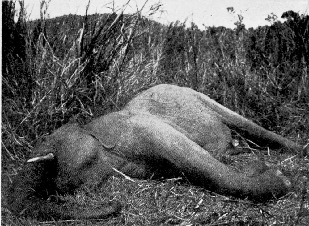
DEAD ELEPHANT.
PLATE 177
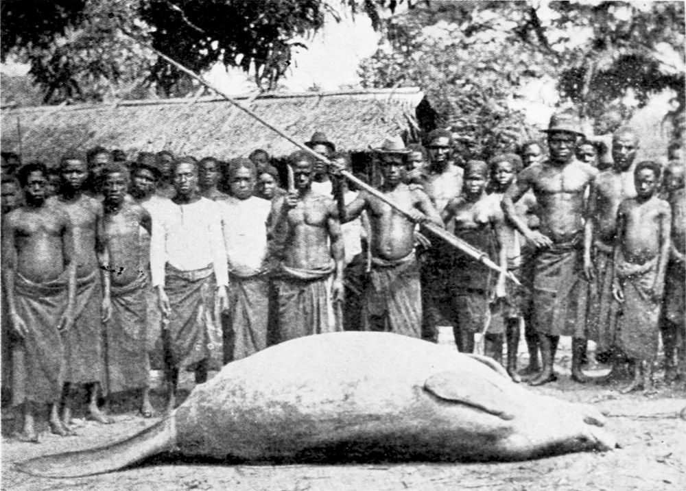
WALRUS.
PLATE 178
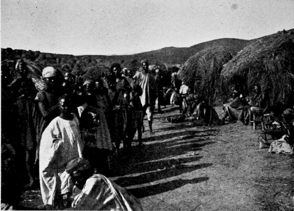
A HAUSA VILLAGE.
PLATE 179
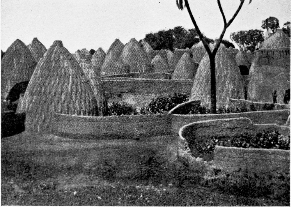
A NATIVE VILLAGE. MUSGUM HUTS.
PLATE 180
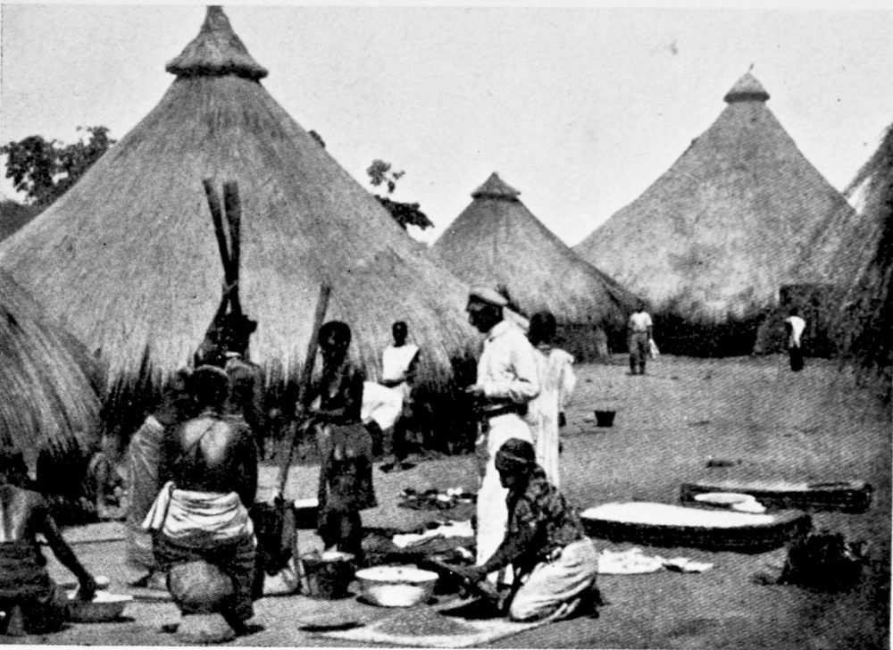
A NATIVE VILLAGE. HUTS WITH CONE-SHAPED ROOFS.
PLATE 181
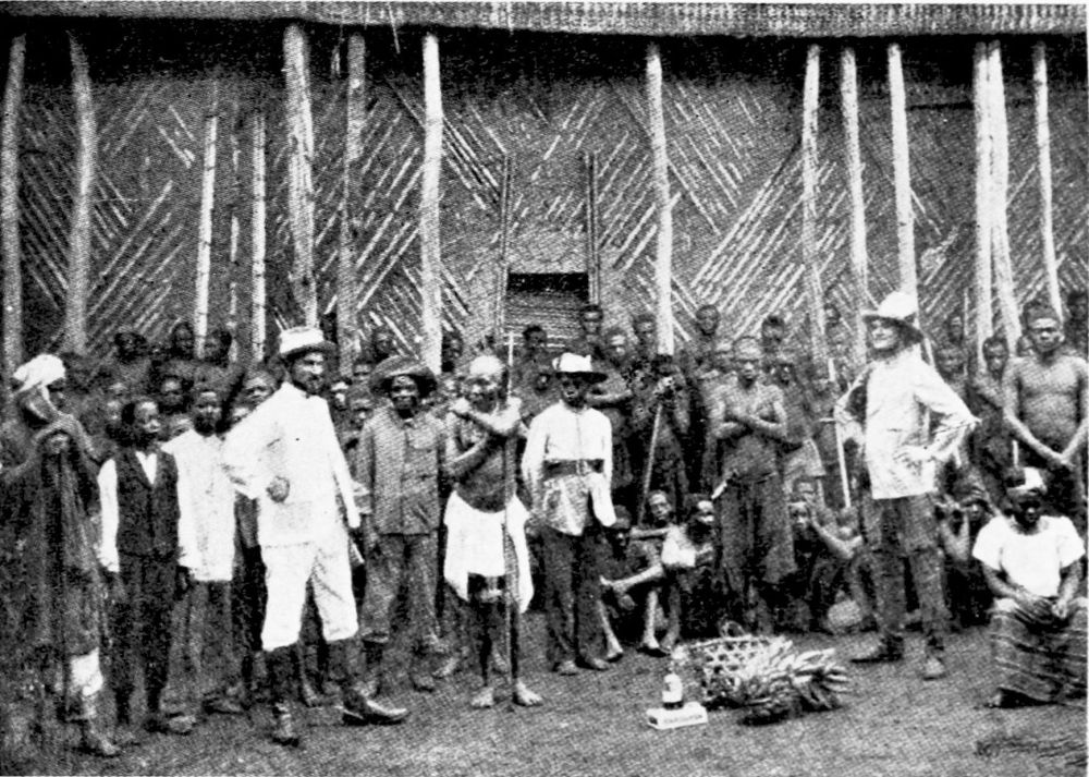
CARAVAN TRAVELLING. HIRING CARRIERS.
PLATE 182
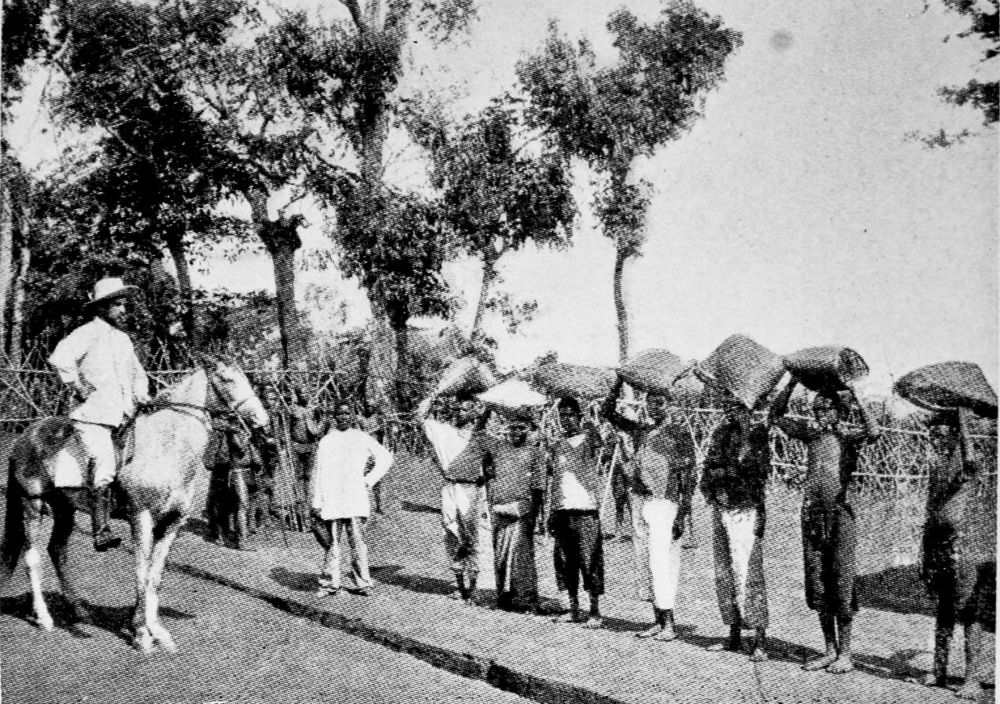
RUBBER CARAVAN.
PLATE 183
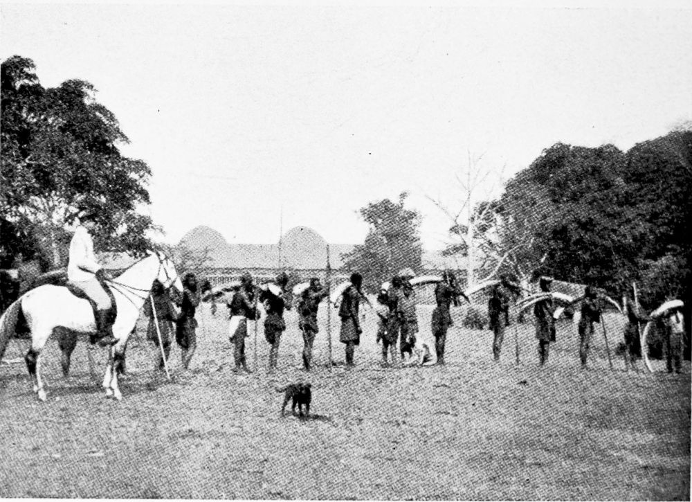
IVORY CARAVAN.
PLATE 184
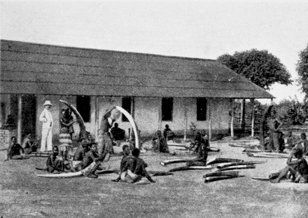
SCENE AT AN IVORY FACTORY.
PLATE 185
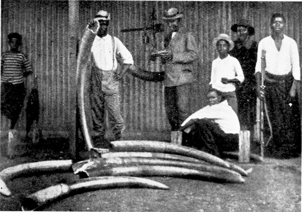
WEIGHING THE IVORY.
PLATE 186
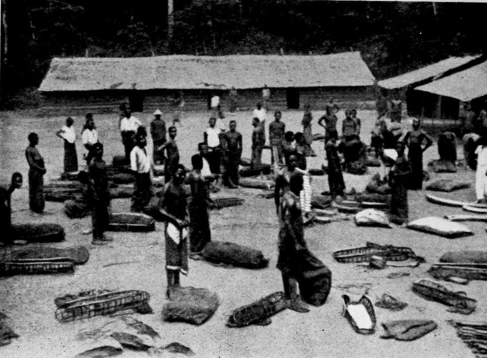
FACTORY IN THE INTERIOR OF SOUTH CAMEROON.
PLATE 187
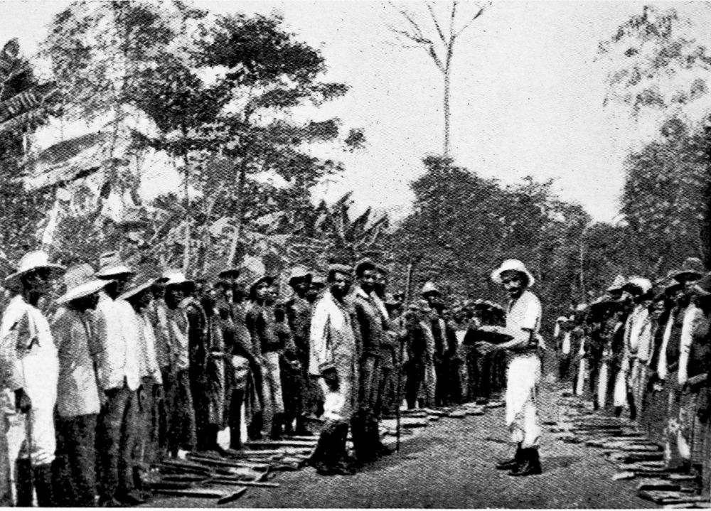
ROLL-CALL OF LABOURERS.
PLATE 188
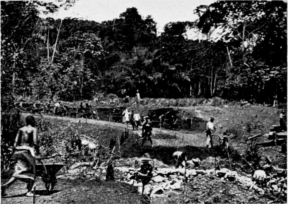
BRIDGING OVER A RAVINE.
PLATE 189
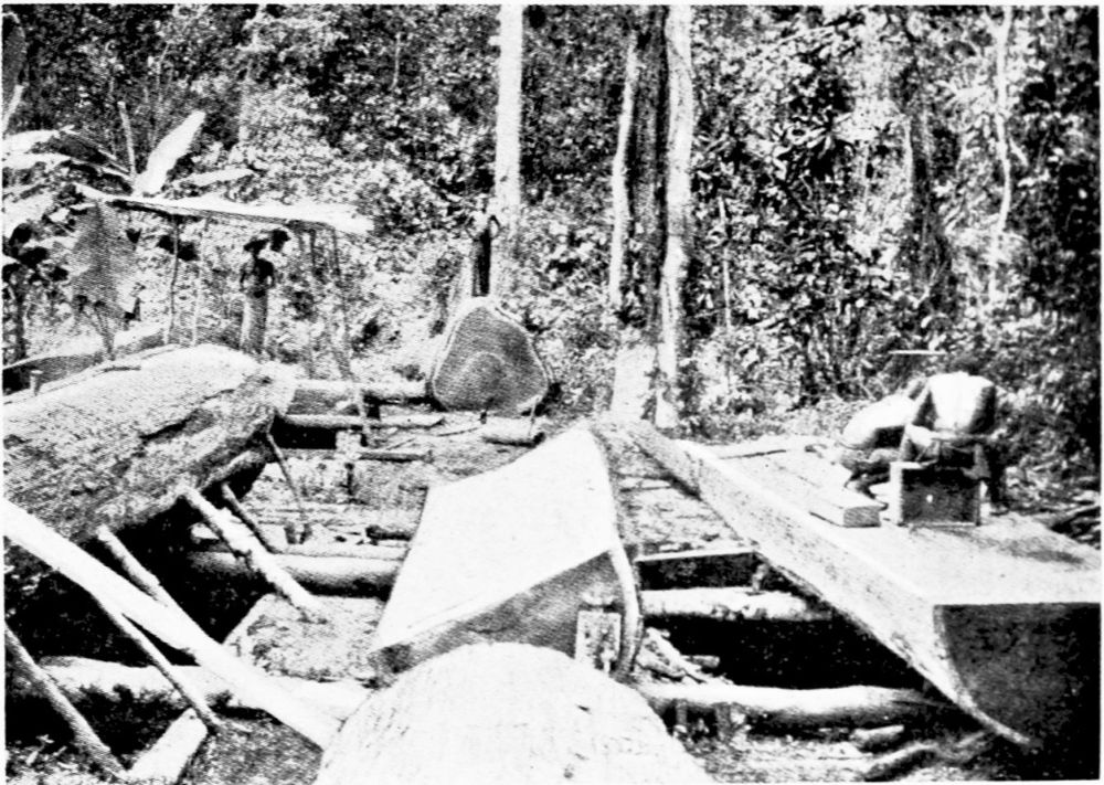
SAWING WOOD.
PLATE 190
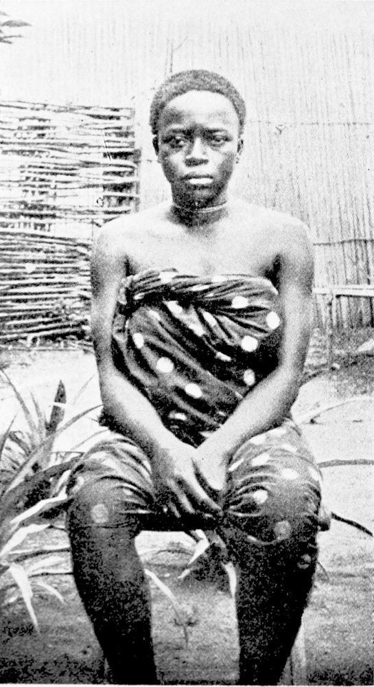
NJEM WOMAN, SOUTH CAMEROON.
PLATE 191
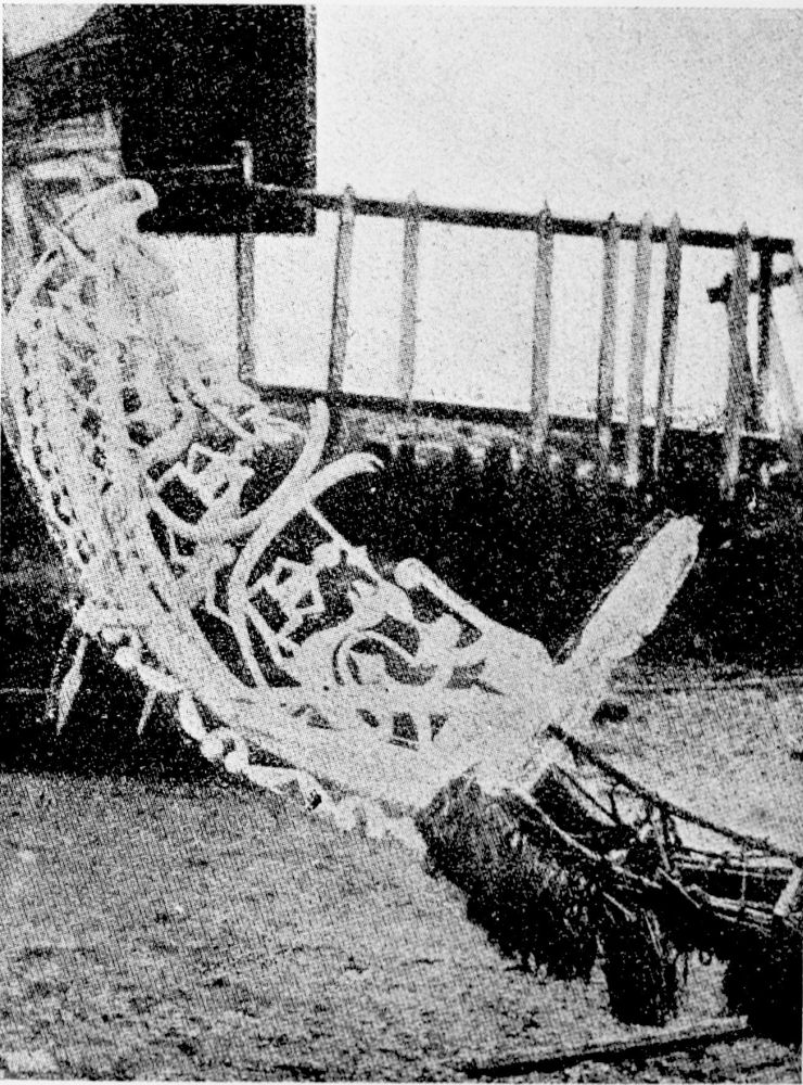
PROW OF A WAR CANOE.
PLATE 192
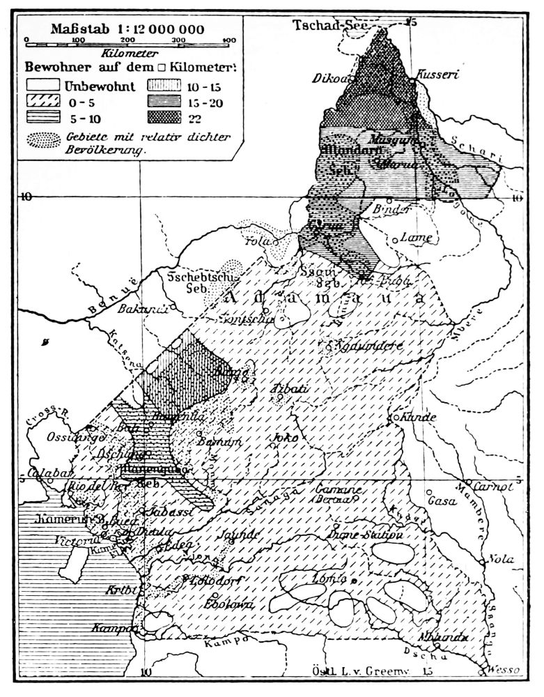
DENSITY OF THE POPULATION.
PLATE 193
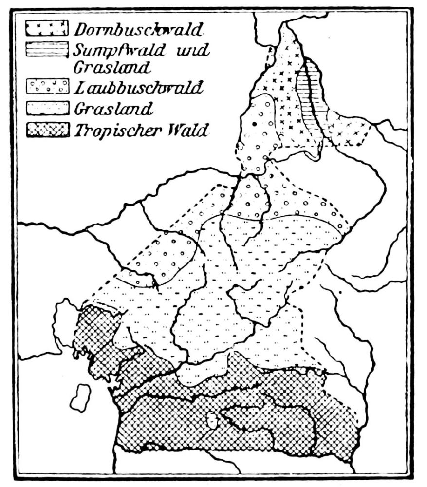
FLORA.
PLATE 194
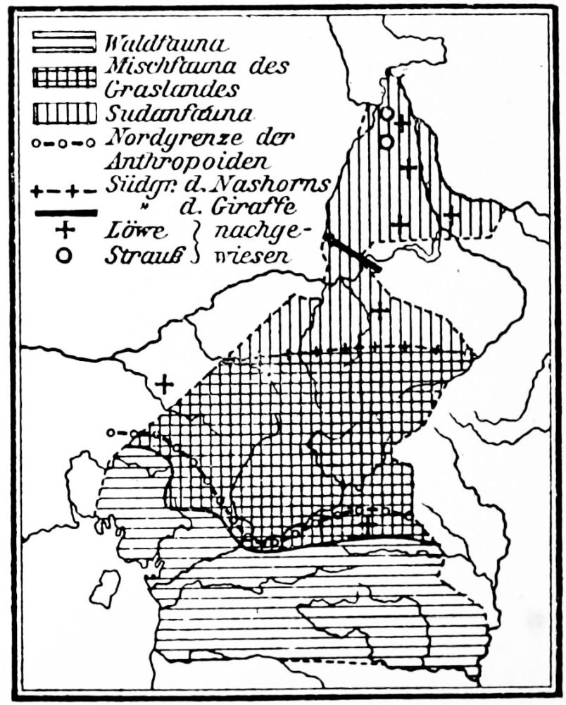
FAUNA.
PLATE 195
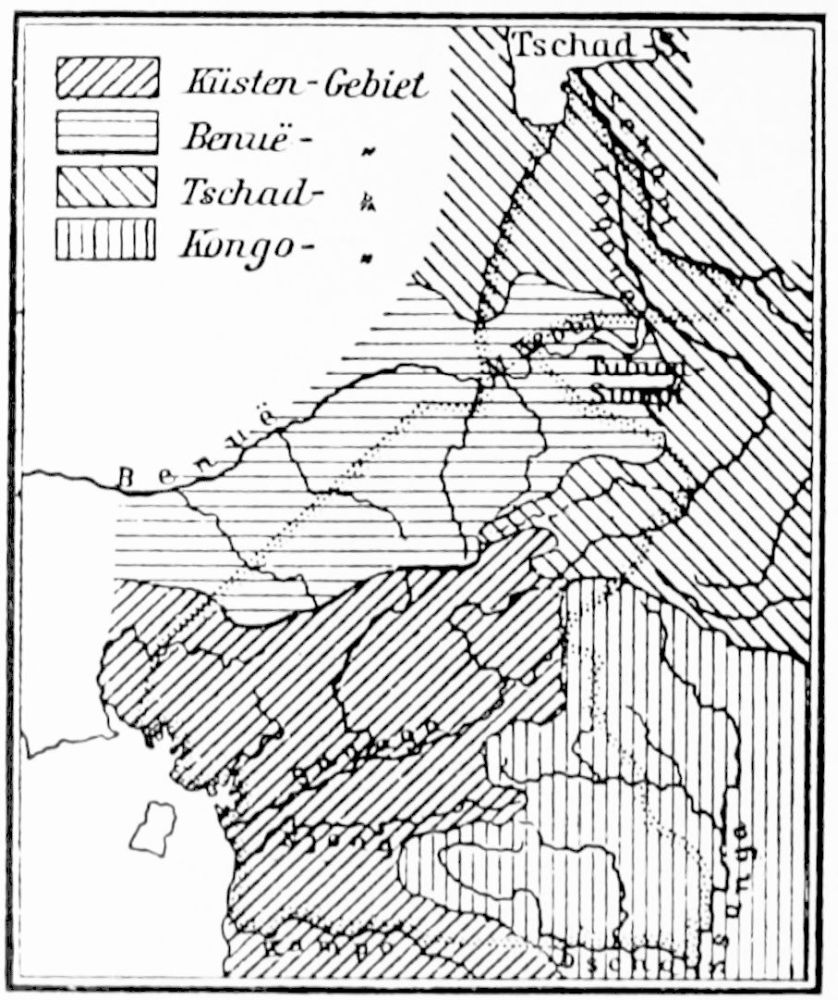
RIVER BASINS.
PLATE 196
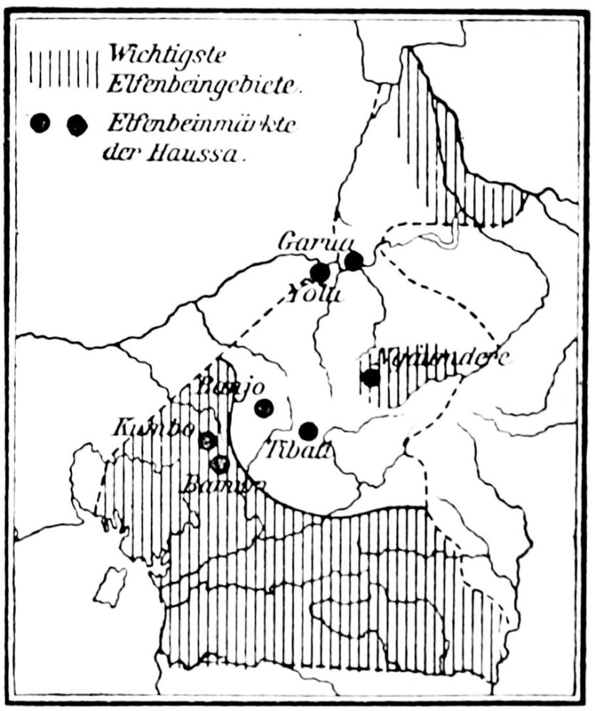
IVORY DISTRICTS.
PLATE 197
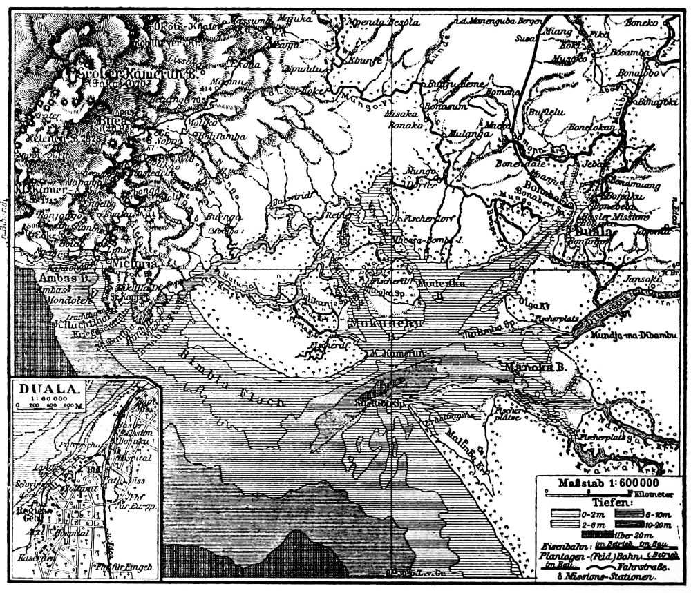
CHART SHOWING ENTRANCE TO DUALA FROM THE SEA.
PLATE 198
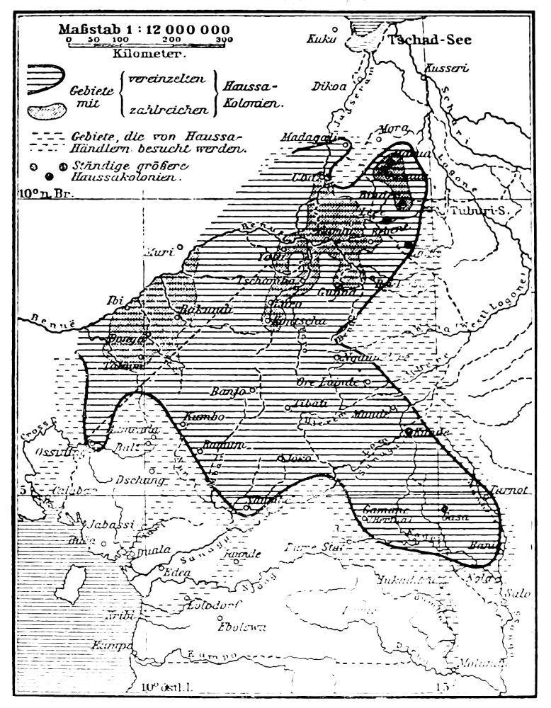
HAUSA TERRITORY.
PLATE 199
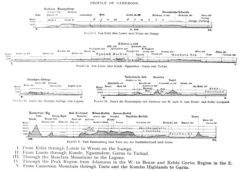
PROFILE OF CAMEROON.
[Click for larger image. (250kb)] [Click for largest image. (565kb)]
Profil I. Von Kribi über Lomle nach Wesso am Ssanga.
Profil II. Von Lomic über Kunde-Ngaumdere-Garua zum Tschad.
Profil III. Durch das Mandara-Gebirge zum Logone.
Profil IV. Durch die Massivregion von Adamaua von W. nach O. zum Benuë-und Kebbi-Gneisland.
Profil V. Vom Kamerunberg über Tinto und das Kumbohochland nach Garua.
I. From Kribi through Lomie to Wesso on the Ssanga.
II. From Lomie through Kunde, Ngaumdere, Garua to Tschad.
III. Through the Mandara Mountains to the Logone.
IV. Through the Peak Region from Adamaua in the W. to Benue and Kebbi Gneiss Region in the E.
V. From Cameroon Mountain through Tinto and the Kumbo Highlands to Garua.
PLATE 200
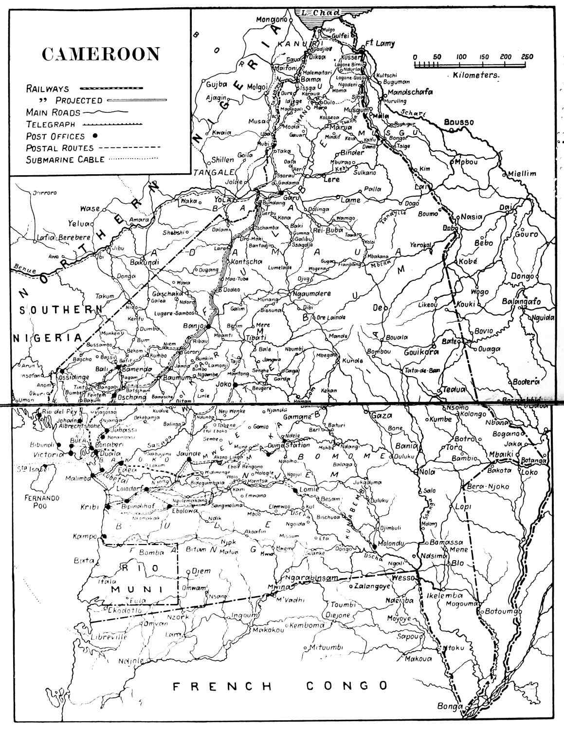
CAMEROON.
A. F. CALVERT’S MAP OF CAMEROON.