← Table of contents
Souvenir Map and Guide for Tourists in the Black Hills of South Dakota

CITY OF BELLE FOURCHE

Reading edition

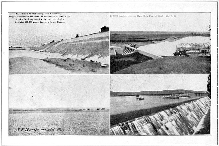
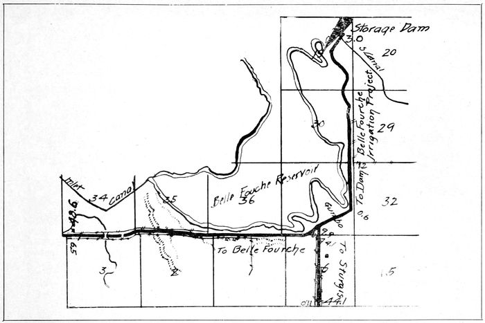
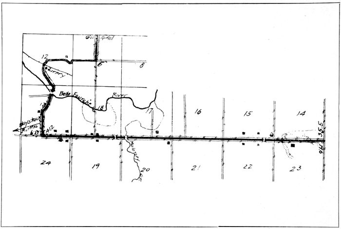
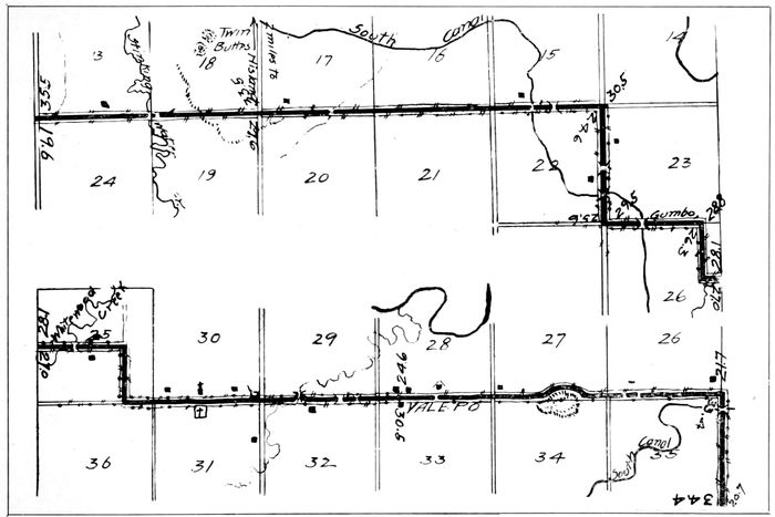
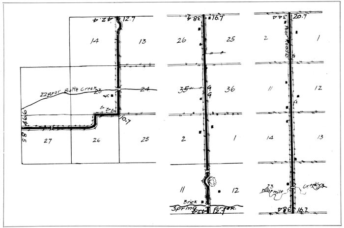
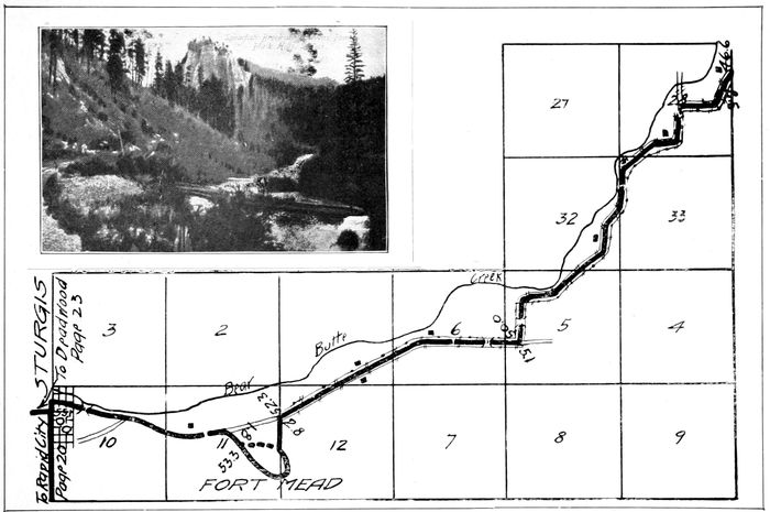
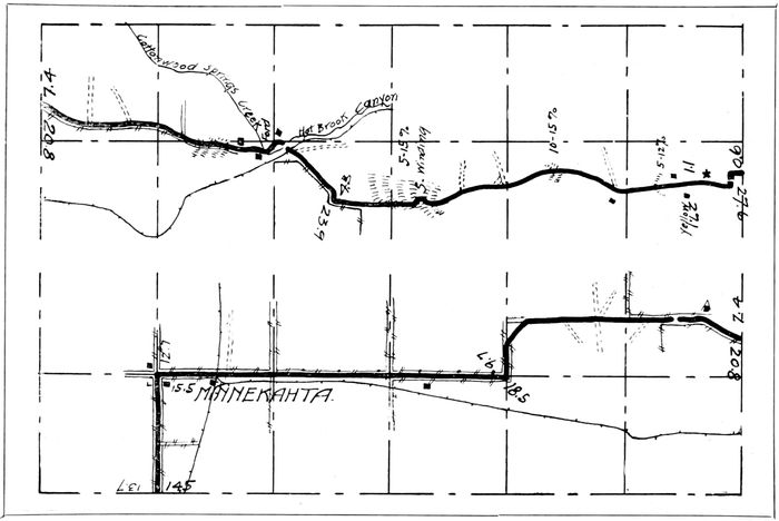
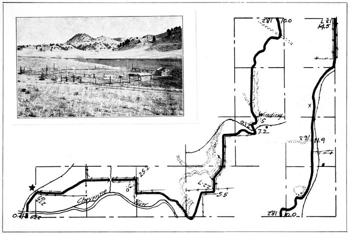
The City of Belle Fourche, the County Seat of Butte County, is located in the Belle Fourche Valley upon the Belle Fourche and Redwater rivers. The city was established in the days of Count de Mores and Theodore Roosevelt upon the western prairies and was one of the stations on the De Mores trail between the Black Hills and New England and De Mores, N. D. It bears the distinction of being the greatest primary cattle market in the world. Its trade is drawn from the ranges of Montana and Wyoming as well as the fertile valleys of South Dakota. It is surrounded by beautiful valleys which extend to the foot of the Bear Lodge and Black Hills. From the first cattle town in the state it has grown to be one of the first cities of the state. Its citizenship is progressive and its business men are working for the best interests of the community. It has one of the best hotels in the state and its public buildings would be a credit to a much larger community. It is the gateway to the Belle Fourche and Spearfish valleys. The diversion dam of the Belle Fourche Irrigation Project is almost within the city limits. This dam diverts the water from the Belle Fourche river into the great reservoir covering over 8000 acres of land and holding over 200,000 acre feet of water. This water is held by the largest earth dam in existence, 78being in height 115 feet and over 6000 feet in length and retaining sufficient water to irrigate 100,000 acres of land. This dam is one of the marvels of the age. It is worth one’s time to visit the same. The Spearfish valley is older in irrigation and has an abundance of fruit. Within six miles of Belle Fourche is the largest natural water power plant in the northwest, where the power for the great Homestake mine is generated from the waters of the Redwater river. A beautiful highway logged herein connects Belle Fourche with all the valleys and the famous trout fishing streams of South Dakota as well as the picturesque Sand Creek of Wyoming. In order to reach these streams in the most acceptable manner take the logged highways from Belle Fourche.
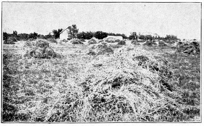
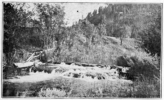
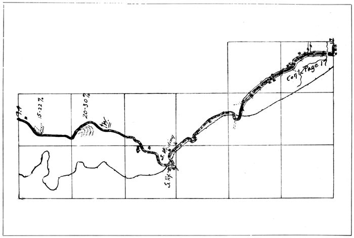
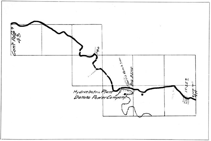
Illustration from Souvenir Map and Guide for Tourists in the Black Hills of South Dakota Maps prepared especially for the use of Automobile Tourists

79

Illustration from Souvenir Map and Guide for Tourists in the Black Hills of South Dakota Maps prepared especially for the use of Automobile Tourists

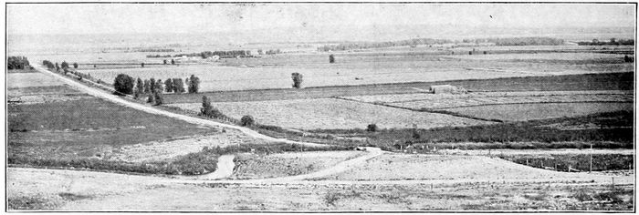
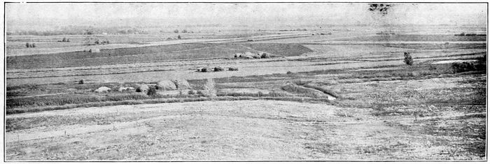
FARM SCENES IN THE BELLE

80

Illustration from Souvenir Map and Guide for Tourists in the Black Hills of South Dakota Maps prepared especially for the use of Automobile Tourists

FOURCHE IRRIGATION DISTRICT

81

67. “Belle Fourche Irrigation Reservoir,” largest earthen embankment in the world, 115 feet high, 1⅛ miles long, faced with concrete Blocks, irrigates 100,000 acres, Western South Dakota. $50,000 Irrigation Diversion Dam, Belle Fourche, Black Hills, S. D.

82

Illustration from Souvenir Map and Guide for Tourists in the Black Hills of South Dakota Maps prepared especially for the use of Automobile Tourists

83

Illustration from Souvenir Map and Guide for Tourists in the Black Hills of South Dakota Maps prepared especially for the use of Automobile Tourists

84

Illustration from Souvenir Map and Guide for Tourists in the Black Hills of South Dakota Maps prepared especially for the use of Automobile Tourists

85

Illustration from Souvenir Map and Guide for Tourists in the Black Hills of South Dakota Maps prepared especially for the use of Automobile Tourists

86

Illustration from Souvenir Map and Guide for Tourists in the Black Hills of South Dakota Maps prepared especially for the use of Automobile Tourists

87

Illustration from Souvenir Map and Guide for Tourists in the Black Hills of South Dakota Maps prepared especially for the use of Automobile Tourists

88

Illustration from Souvenir Map and Guide for Tourists in the Black Hills of South Dakota Maps prepared especially for the use of Automobile Tourists

89

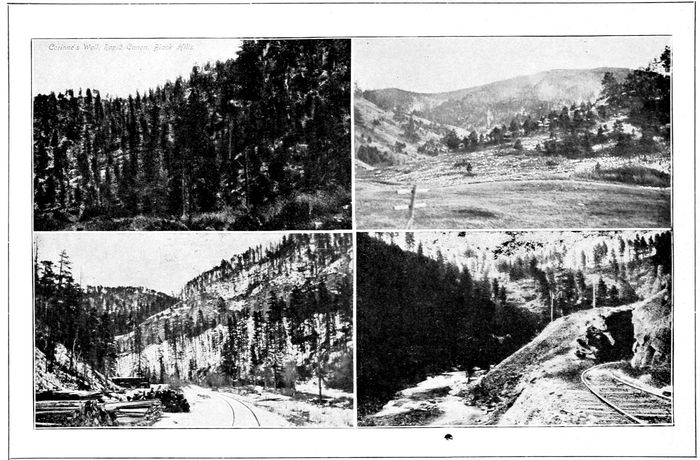
_Corinne’s Wall, Rapid Canyon, Black Hills_

90

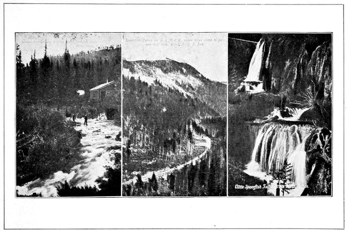
_Sunrise Cottages and Fishing Scene Spearfish Creek Black Hills, S. D._ _Spearfish Canon on B. & M. R. R., seven miles climb to gain one-half mile. Black Hills, S. Dak._ _Little Spearfish Falls, Black Hills, S. Dak._

91

Illustration from Souvenir Map and Guide for Tourists in the Black Hills of South Dakota Maps prepared especially for the use of Automobile Tourists

92

Illustration from Souvenir Map and Guide for Tourists in the Black Hills of South Dakota Maps prepared especially for the use of Automobile Tourists

93

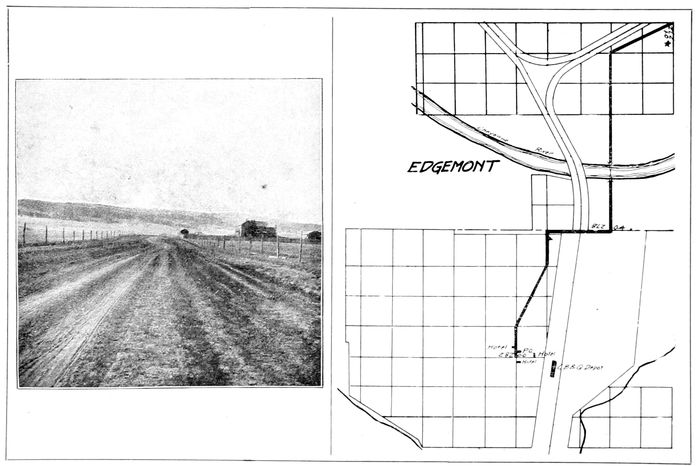
EDGEMONT
EDGEMONT

94

Explore with AITake your curiosity a little further.

Reading settings